N3179 Rd to I&M Canal (Canal St/Rockwell Rd, La Salle) (6.5 miles)
Gauge Conditions
Runnable: 300.0 – 2,250.0 CFS
Likely too low for a good run.
Data from American Whitewater & USGS
Run Map
Description
Quick Facts:
Location: NorthCentral IL, North of LaSalle, running into LaSalle.
Shuttle Length: 6 miles / 12 minutes Click here for shuttle directions
Character: Mostly a 'rural' feel (except as passing under I80, and while alongside massive quarry operation). Mostly open stream, with playwaves and a mini-canyon.
Drainage at put-in: 73.8 sq.mi.
Drainage at take-out: 127 sq.mi. (making a 72% increase)
Put-in is approximately 565' elevation.
Take-out is approximately 450' elevation.
Thus total elevation change is approximately 115', making 17.7 FPM overall.
General Overview
Google Maps has excellent resolution aerials of this reach. We highly recommend going to the 'Map' tab, clicking 'Topo' to change to 'Satellite', zoming in at the icon marking the mini-canyon, and doing a 'virtual tour' to 'walk' down the reach. (There's not a lot to see above the mini-canyon, and satellite resolution fails the first half-mile of the run.)
---
Please respect privacy of property owner at put-in. Launch close to bridge.
This creek has a bit more substantial watershed than some of the other listed creeks in the area (Bailey, Cedar, Covel, Spring, Tomahawk), so has a better chance of being runnable. When 'up', it makes a fine companion piece for the commonly boated section on the main Vermilion.
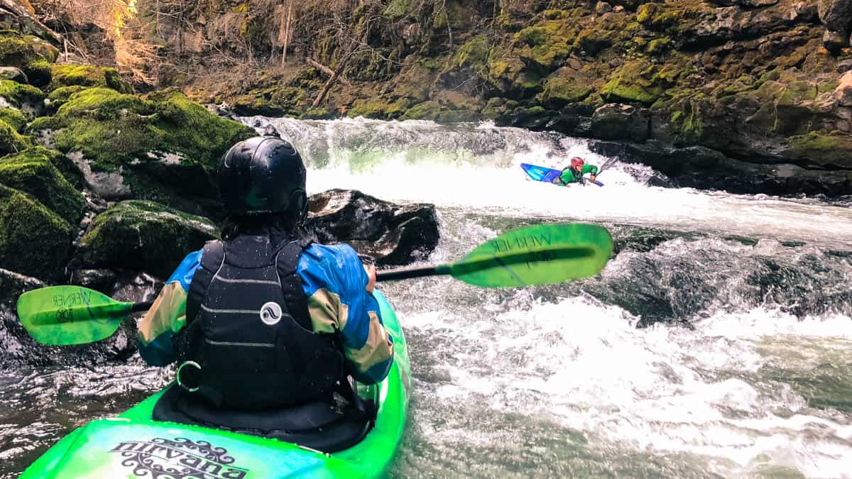
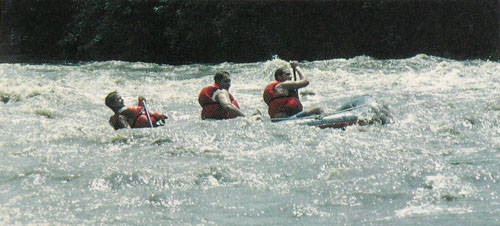
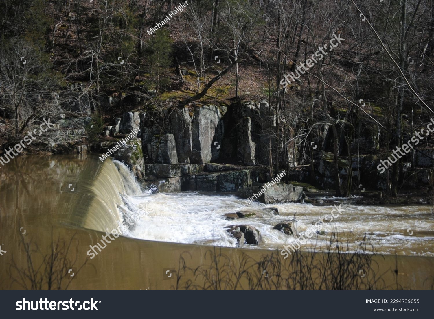
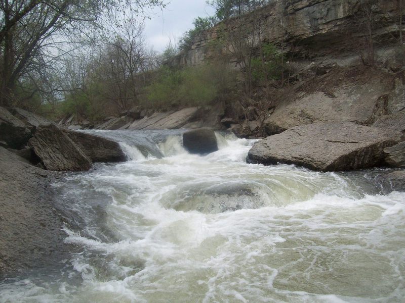
Numerous small playwaves, and a class III triple-drop 'canyon' (pushing III+/IV- at high flows). Scouting Canyon Rapids is advisable, as it often has at least one strainer. Be alert for poison ivy on shore. Air quality (and water quality) can be 'iffy', as there is some quarrying and other heavy industry nearby.
Rapids in this Run (5)

Waterfalls (1)
Playspots (1)
Hazards & Portages (2)
Caution: The following locations may require scouting or portaging. Always check current conditions.
Difficulty
Class I-II(III)
Length
6.5 mi
Gradient
17 ft/mi
max 26
Rapids
5
2 Hazards
Access Points
Difficulty Classes
I Easy
II Novice
III Intermediate
IV Advanced
V Expert/Extreme
VI Unrunnable
Current Conditions
5-Day Forecast
Whitewater data from
American Whitewater
American Whitewater