Near Mouth of Wilson
Gauge Conditions
Runnable: ? – ? CFS
Approximate reading: This gauge is 11.5 miles away on Big Wilson Creek. Use as a general reference only.
Data from American Whitewater & USGS
Run Map
Run Time Estimate
Select put-in and take-out to estimate time.
Plan This Trip
See wind-adjusted speed maps, forecast planning, and detailed time estimates.
Sign in to generate an AI timing estimate for this run.
Whitewater timing varies with scouting, portages, and group pace. Use as a planning baseline.
Description
From: BoaterTalk
Re: Big Wilson Creek in Independence, VA.
by jdemmert Oct 13 2003, 16:52 GMT
_Paul Heffernan and I ran Big Wilson down to the highway in 1995 I believe. We both are pretty sure it was the 1st descent. We hiked all the way to the top, above 1st falls and ran most everything. We carried the 1st falls (40 ft slot/slide that corkscrews into an undercut rock, probably knock your teeth out). We also carried a few rapids that start a very steep section outside park property (about a half mile above the highway). These rapids were totally sieved out. Plenty of water heading in but none exiting on the surface. It just plunges through cracks. This is the steepest section of the run._
_The whole thing is pretty short, but must be scouted. It also takes a shitload of water to get it going up that high._
Rob T
If Grayson Highlands afws gage gets 1.5' or 2' within 12hrs this creek is good to go. Enter the park and head down the campground road until you see the country store park there and walk 1 mile down to the creek.
'Do not attempt the upper gorge.' - _Virginia Whitewater_, Roger Corbett (2000 ed.), p. 485. His description begins at the Rt. 58 bridge near Rugby.
Rapids in this Run (2)
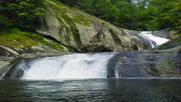
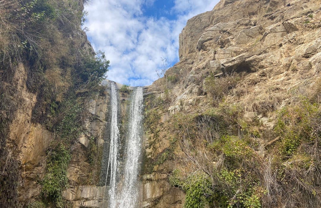
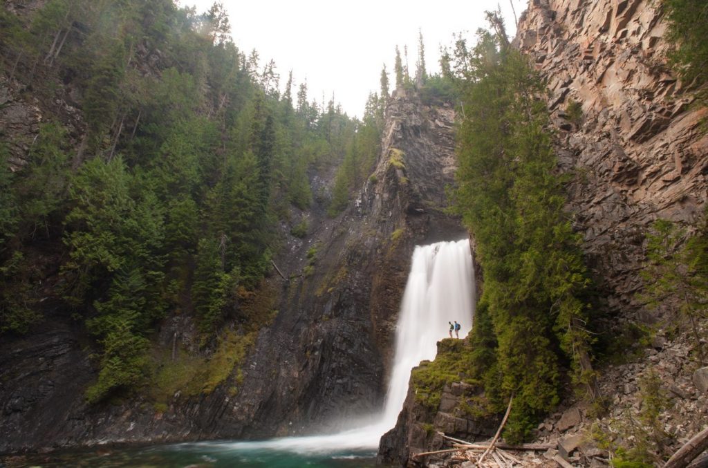
Waterfalls (6)


Hazards & Portages (3)
Caution: The following locations may require scouting or portaging. Always check current conditions.
Difficulty
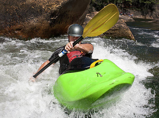
Class III-V+
Length
2.6 mi
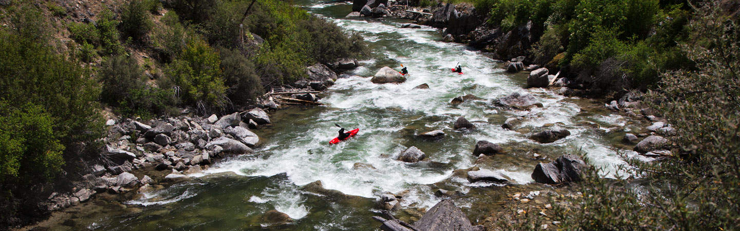
Rapids
2
3 Hazards
Access Points
Difficulty Classes
I Easy
II Novice
III Intermediate
IV Advanced
V Expert/Extreme
VI Unrunnable
Current Conditions
5-Day Forecast
Whitewater data from
American Whitewater
American Whitewater