Nettles Park to US 76
No sufficiently local live gauge linked. 1 automated match was excluded because locality could not be verified. Difficulty and route details are not current water conditions.
Run Map
Run Time Estimate
Select put-in and take-out to estimate time.
Plan This Trip
See wind-adjusted speed maps, forecast planning, and detailed time estimates.
Sign in to generate an AI timing estimate for this run.
Whitewater timing varies with scouting, portages, and group pace. Use as a planning baseline.
Description
On Sunday (5/23/04), while many intelligent FPC members were running
the Upper Green, two local yahoos decided to perform a low water
exploratory trip of Eighteen Mile Creek. Two small rapids had been
sited from various roads, although one, admittedly, was a one foot
drop over a deformed weir made of thick sheet metal. After leaving a
car at the takeout, Lake Hartwell, it was decided to put in at
Nettle's Park, two miles below the metal weir. Both adventurers were
claiming a personal first descent, PFD, for the run.
The water appeared quite passable, despite a few downed trees. It
was brown, and the bottom nor any rocks were visible--typical
indications of a heavy storm dumping water into the river upstream.
However, it was soon discovered that this river is an incredible
sediment transport system. Despite not being able to see the bottom,
much of the river was too shallow to float a boat. Nonetheless,
their was just enough water mixed in with the flowing sediment to
convince the adventurers to continue the expedition.
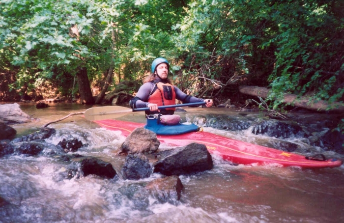
One party member (not the author) survived a swim while negotiating a
downed tree in some flippy class B flatwater. Both party members
survived the intrepid Pendleton Street Falls, a foot-tall class I
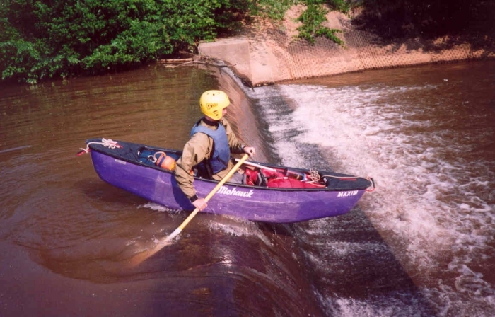
shoals, just upstream of the Pendleton Street bridge. Further
downstream, a low-head dam was discovered that created a water intake
system for the Milleken plant. A light on a sensor blinked in
conjunction with boater movement prior to a Milleken truck arriving
at the scene. Eighteen Mile Creek is considered a navigable river
and the boaters passed with only a friendly wave and no
confrontation. It is speculated that the gentleman returned to his
work post stating that the sensor was set off by a couple of kayakers
running the dam, although the more educated would have recognized
that they were canoes and that all paddlers should be smart enough
not to run lowhead dams.
After a few more miles of paddling, pushing, and dragging their boats
through the water-laden sediment, the boaters finally arrived at the
take-out. The PFDs (again, personal first descents) were declared to
be PLDs (personal last descents). These boaters asked me to pass on
their experience so future boaters seeing the rapid upstream of the
Pendleton Street bridge who wander what the river is like will know.
They ran this river so others won't have to, and I agreed to pass the
information on.
Rapids in this Run (2)
Difficulty
Class I(II)
Length
2.2 mi
Gradient
10 ft/mi
Rapids
2
Access Points
Difficulty Classes
I Easy
II Novice
III Intermediate
IV Advanced
V Expert/Extreme
VI Unrunnable
Current Conditions
5-Day Forecast
Whitewater data from
American Whitewater
American Whitewater