NF Battle Creek (Wildcat Road to SF Confluence)
Gauge Conditions
Runnable: ? – ? CFS
Approximate reading: This gauge is 1.9 miles away on Battle Creek. Use as a general reference only.
Data from American Whitewater & USGS
CDEC Flow Data California
Data from California Data Exchange Center (CDEC)
Run Map
Description
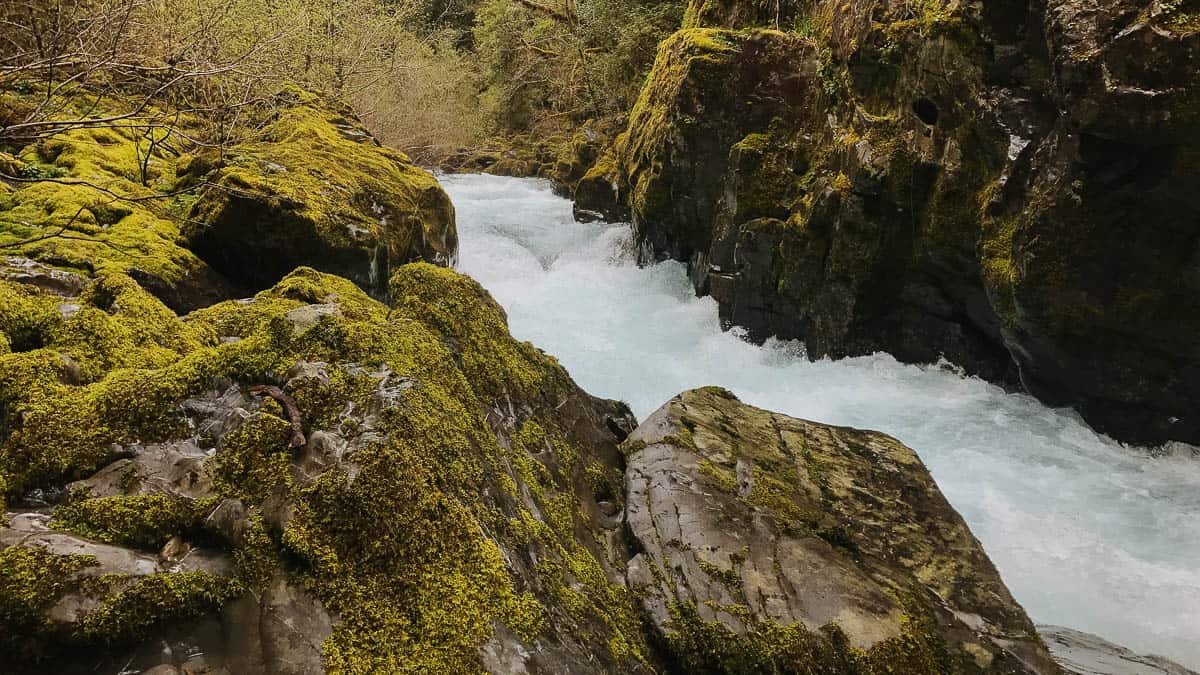
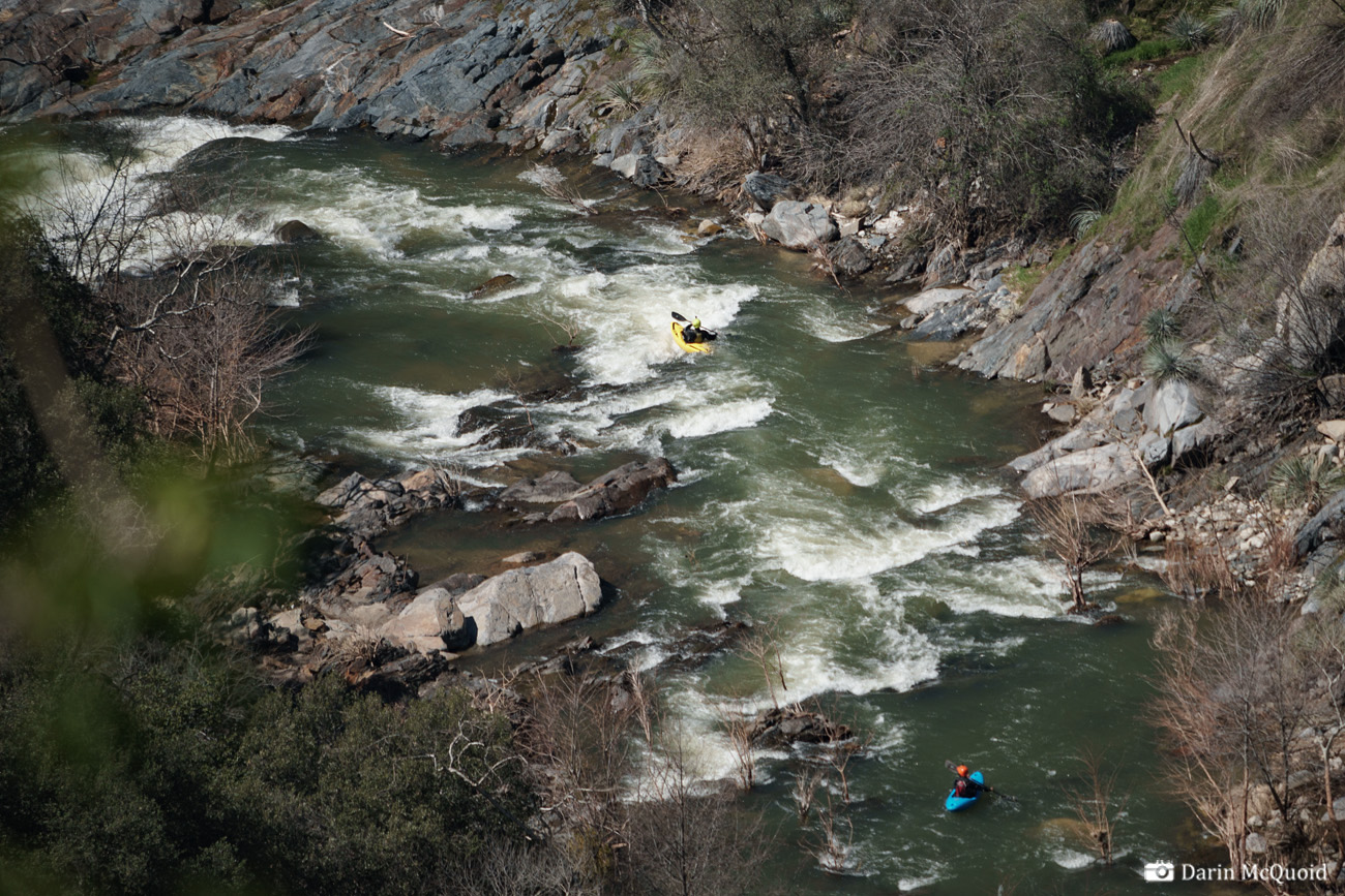
North Fork Battle Creek is an alternate put-in option for Battle Creek. For inflatable kayaks, pack rafts, and low-flow runs when the South Fork is too low to paddle, it is a good alternative option for Battle Creek. There is no legal take-out option for paddling this reach on its own.
Rapids in this Run (2)
Difficulty
Class II-III(IV)
Length
0.7 mi
Rapids
2
Access Points
Difficulty Classes
I Easy
II Novice
III Intermediate
IV Advanced
V Expert/Extreme
VI Unrunnable
Current Conditions
5-Day Forecast
Whitewater data from
American Whitewater
American Whitewater