old RR right-of-way off Marsh Road to Mann/River Rd (9.3 or 3.4 mi)
Gauge Conditions
Runnable: 300.0 – 2,400.0 CFS
Likely less than 50 cfs: almost certainly too low for reasonable whitewater run.
Data from American Whitewater & USGS
Run Map
Run Time Estimate
Select put-in and take-out to estimate time.
Plan This Trip
See wind-adjusted speed maps, forecast planning, and detailed time estimates.
Sign in to generate an AI timing estimate for this run.
Whitewater timing varies with scouting, portages, and group pace. Use as a planning baseline.
Description
Put-in elev: ~1262'
Take-out elev: ~1128'
Total drop: ~134'
Run Length ~9.3 miles
Ave.Grad. ~13 FPM
Access for the full run listed is via an old railroad right-of-way off Marsh Road. Boaters just wanting to 'go for the gorge' (the shortest run, with the most challenging action) may use Hwy 97 as their start. This results in a run of 3.4 miles (or less, if parking and egress can be found at the corner at Day Road and Birch Road).
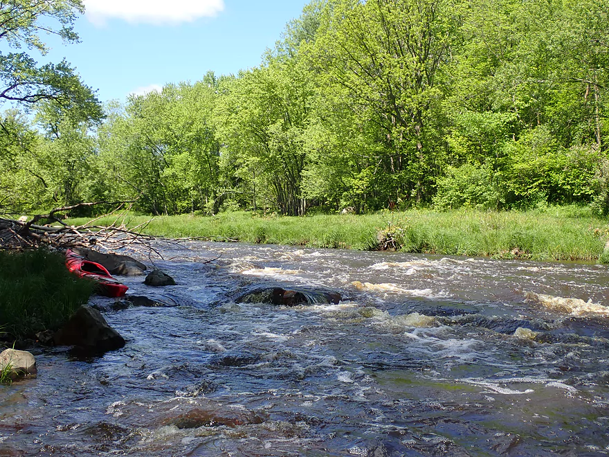
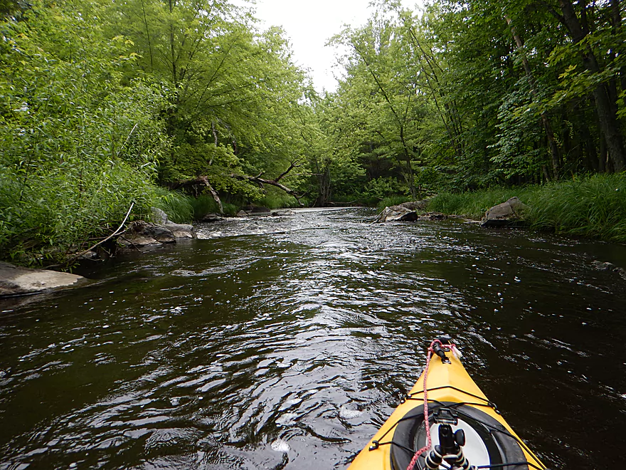
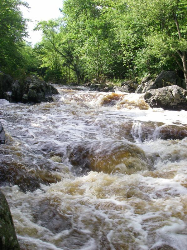
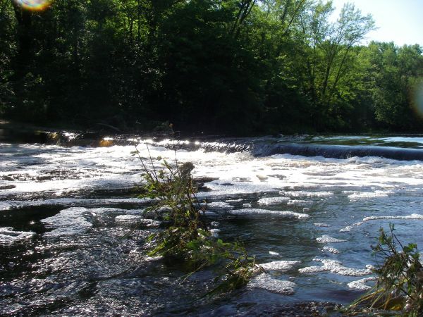
The listed run begins with a bit over a mile of small ledge and boulder bed (class I-II). The next 3+ miles are flat-water. Shortly down from Hwy 97 is a sweet dells. The river narrows considerably into a good sequence of drops (class III), followed by some trailing technical class II, then 1.5 miles flat to the takeout at the corner of Mann Road and River Road.
Rapids in this Run (4)
Hazards & Portages (1)
Caution: The following locations may require scouting or portaging. Always check current conditions.
Difficulty
Class I-II(III)
Length
9.4 mi
Gradient
13 ft/mi
max 30
Rapids
4
1 Hazard
Access Points
Difficulty Classes
I Easy
II Novice
III Intermediate
IV Advanced
V Expert/Extreme
VI Unrunnable
Current Conditions
5-Day Forecast
Whitewater data from
American Whitewater
American Whitewater