Old Stage Road to Casey Road (6.7 miles)
Gauge Conditions
Runnable: 80.0 – 1,000.0 CFS
Low-moderate to moderate flows.
Data from American Whitewater & USGS
Run Map
Run Time Estimate
Select put-in and take-out to estimate time.
Plan This Trip
See wind-adjusted speed maps, forecast planning, and detailed time estimates.
Sign in to generate an AI timing estimate for this run.
Whitewater timing varies with scouting, portages, and group pace. Use as a planning baseline.
Description
Quick Facts:
Location: approximately 24 miles south from Madison.
Shuttle Length: 1.4-8.8 miles.
Character: Rural stream with swiftwater and atypically steady flow (See NOTE in 'River Features').
Uppermost put-in is approximately 867' elevation.
Lowest listed put-in is approximately 811' elevation.
Take-out is approximately 800' elevation.
General Overview
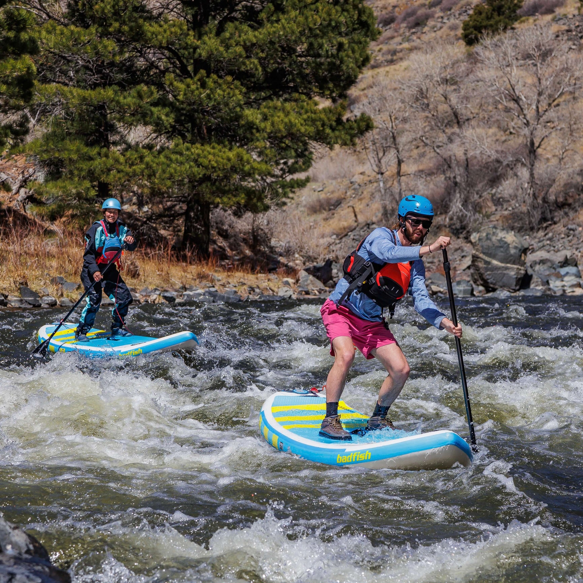
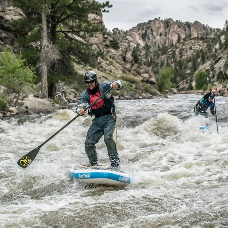
A couple of minor rapids (normally just class I) and a few rocks to dodge are the highlights of this small twisty creek. Beginner paddlers from the Madison area find this a handy place to practice in moving water.
It is possible to use different put-in and take-out points for trips of various lengths.
Gradient is relatively negligible on all sections of this stream, so we are not calculating gradient for each option of put-in/take-out.
NOTE: I have received a word of caution that Wild Parsnip is very common in the area. Summer boaters are warned to become familiar with this plant and its effects in order to avoid its unfortunate consequences. ('If the plant juices come in contact with skin in the presence of sunlight, a rash and/or blistering can occur, as well as skin discoloration that may last several months.' 'Sometimes the area that was burned takes on a dark red or brown discoloration that can last for as long as 2 years.') Two excellent sources for information are Wisconsin Natural Resources Magazine or the Virginia Tech Weed Identification Guide.
GO TO THIS LINK FOR A GOOD PHOTO OF WILD PARSNIP

Difficulty
Class I(II)
Length
6.5 mi
Gradient
6 ft/mi
Rapids
10
Access Points
Difficulty Classes
I Easy
II Novice
III Intermediate
IV Advanced
V Expert/Extreme
VI Unrunnable
Current Conditions
5-Day Forecast
Whitewater data from
American Whitewater
American Whitewater