Old U.S. Hwy 421 to Conns Creek (6.8 miles)
Gauge Conditions
Runnable: 200.0 – 1,500.0 CFS
Sweet level. Very playable.
Data from American Whitewater & USGS
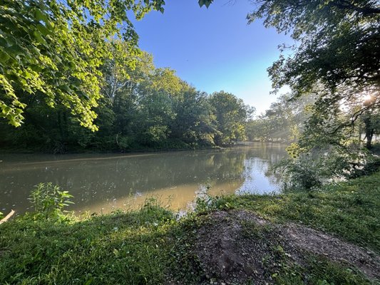
Run Map
Run Time Estimate
Select put-in and take-out to estimate time.
Plan This Trip
See wind-adjusted speed maps, forecast planning, and detailed time estimates.
Sign in to generate an AI timing estimate for this run.
Whitewater timing varies with scouting, portages, and group pace. Use as a planning baseline.
Description
The flat shelved rock (for which the river is named) creates hydraulic jumps that are a blast. At the lower discharges it should afford many surfing opportunities. At the larger levels, a thrill but probably not technically challenging.
One report forwarded to AW includes descriptions of being in troughs that _"I could not see out of and at least one haystack that I avoided that was probably 7-8 feet tall."_
Benjamin Swain provides (2008-04-07):
_We put in at the Hidden Paradise campground just outside St Paul, rather than the old 421 bridge. A fun beginner river, some good surfing waves._
Rapids in this Run (1)
Difficulty
Class I(III)
Length
7.0 mi
Gradient
7 ft/mi
max 10
Rapids
1
Access Points
Difficulty Classes
I Easy
II Novice
III Intermediate
IV Advanced
V Expert/Extreme
VI Unrunnable
Current Conditions
5-Day Forecast
Whitewater data from
American Whitewater
American Whitewater