Orleans to Phelps
Gauge Conditions
Runnable: 250.0 – 1,500.0 CFS
Data from American Whitewater & USGS
Run Map
Run Time Estimate
Select put-in and take-out to estimate time.
Plan This Trip
See wind-adjusted speed maps, forecast planning, and detailed time estimates.
Sign in to generate an AI timing estimate for this run.
Whitewater timing varies with scouting, portages, and group pace. Use as a planning baseline.
Description
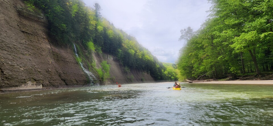
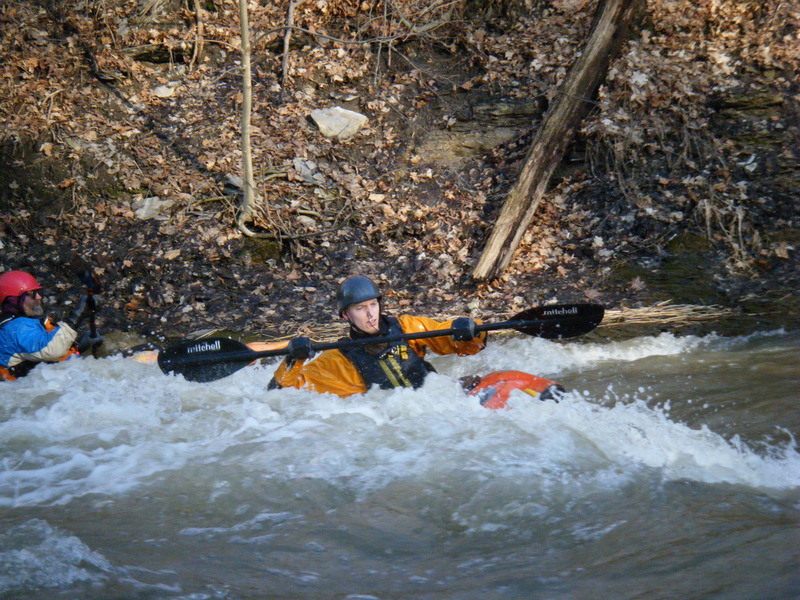
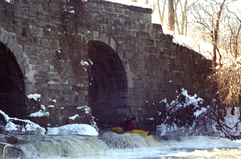
Flint Creek is a shallow, seasonal creek in the Finger Lakes Basin, with origins in the steep ridges of Italy Valley, Southeast of the Southern end of Canandaigua Lake. The creek is characterized by a series of technical Class-III-IV ledge drops through the village of Phelps.
There are numerous stopper pourovers, shallow holes and surf waves associated with these ledge drops.
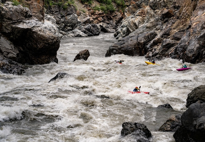
At high water (Stage 4.5 feet), Flint Creek is a fast & furious Class-IV run with serious consequences and close encounters with strainers. More than a few people have been spanked hard at high water, with the loss of numerous paddles and boats.
Though its watershed is quite large, Flint Creek is rarely runnable. The good thing is that it holds water much better than many small creeks.
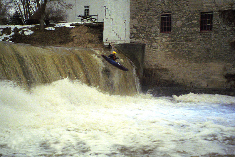
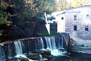
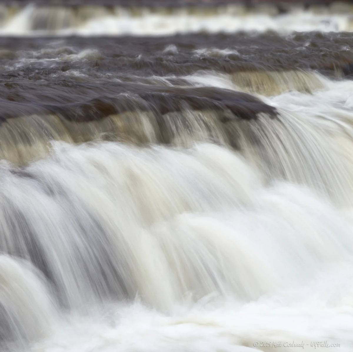
As a general rule, the creek is runnable only during the spring runoff or after moderate-heavy rains, when there is enough water to run the _Old Mill Falls_ in downtown Phelps.
Lat/longitude verified by GPS.
Rapids in this Run (2)
Waterfalls (3)

Playspots (5)

Hazards & Portages (6)
Caution: The following locations may require scouting or portaging. Always check current conditions.
Difficulty
Class II-III+(IV)
Length
11.0 mi
Gradient
50 ft/mi
Rapids
2
6 Hazards
Access Points
Shuttle Info
The normal putin is on Wheat Road, just off NY-488. The normal takeout is on Mill Street, just off Flint Street. **An alternate putin a couple of miles upstream in Orleans at Mill Road, just off NY-488 (Lat/Long coords: 42.91967, -77.11363)**--it gives the paddler at least one good rapid **("Single Drop")** and about five more good playspots--including **Shroo Hole**, one of the finest playspots on the whole dang crick at high water. An alternate takeout is at the Old Mill at Route 96 (Lat/Long coords: 42.95815, -77.06013).
**Driving Directions:**
Check out the [map](http://www.americanwhitewater.org/photos/?photoid=10278) for roads and rapids.
From the NY Thruway, take Exit 43 (Manchester, Rte. 21). After the tollbooth, take a Right onto Rte. 21.
Almost immediately, you'll come to lights. Take a Left onto Rte. 96.
Head about 6-7 miles into the town of Phelps. Just before a bridge, you'll see a liquor store on your right. The bridge is over Flint Creek, just downstream of Old Mill Falls. Park in the nondescript parking area across the street from the liquor store. You'll either take out at the Falls or a quarter mile downstream at Mill Street. (See the [map](http://www.americanwhitewater.org/photos/?photoid=10278).)
To the putin:
Head west on Rte. 96. Take a Left at the lights onto Rte. 488.
(For the shorter run--appropriate if you're pressed for time)
After a mile and change on 488, bang a Left onto Wheat Road. Park along the road and putin at the bridge.
(For the longer run--you get more play this way, especially if it's running at a beefy level!)
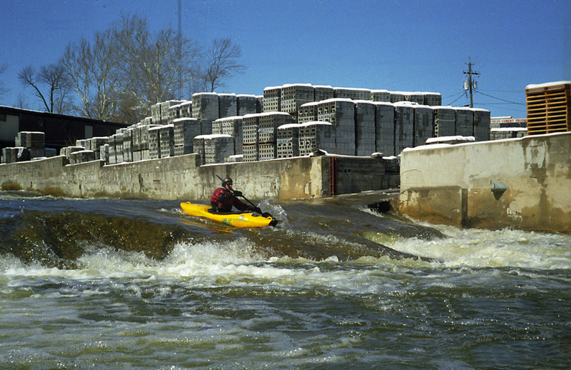
Stay on Rte. 488 South past Wheat Rd. In Orleans, take a Left onto Mill Rd. Park on the river-side of the road; head toward the river, under the small bridge, and putin at the confluence with the small brook. Flint Creek is best known for the vertical 11-foot high dam and **_Old Mill Falls_** (class IV/IV+) that is readily visible from the Route 96 bridge in downtown Phelps. [Click here for the Google map of the longer shuttle](http://maps.google.com/maps?f=d&hl=en&geocode=9839009822352008009,42.960310,-77.056940%3B7564624850020560082,42.945096,-77.081969%3B9068495844107867383,42.919670,-77.113630&saddr=42.96031N,77.05694W&daddr=42.955417,-77.071495+to:Griffith+Rd+%4042.945096,+-77.081969+to:42.91967N,77.11363W&mra=dpe&mrcr=0&mrsp=1&sz=13&via=1,2&sll=42.952151,-77.075443&sspn=0.056037,0.122395&ie=UTF8&ll=42.943858,-77.08334&spn=0.056044,0.122395&z=13). Going this way, through some of the surface streets of Phelps, you can stop off at the railroad bridge and scout the Tubes (to see which Tube\[s\] are blocked by wood on your particular day).
Difficulty Classes
I Easy
II Novice
III Intermediate
IV Advanced
V Expert/Extreme
VI Unrunnable
Current Conditions
5-Day Forecast
Whitewater data from
American Whitewater
American Whitewater