Otis Reservoir to Farmington River
Gauge Conditions
Runnable: ? – ? CFS
Approximate reading: This gauge is 5.6 miles away on Fall. Use as a general reference only.
Data from American Whitewater & USGS
Run Map
Description
Directions from the center of Otis, Mass to the takeout at the bridge: continue south for another 1.5 miles to the intersection of Reservoir Road on your left. During the Fall release you can take out at a field approximately ¼ mile north of this intersection where the release from Fall River comes into the Farmington. To get to the putin drive up Reservoir Road approximately 1 mile, take a right at the sign for a campground (don’t remember the name) and drive to the outlet of Otis Reservoir. From here you must carry down below the unrunnable falls to the putin.
For a map and directions, click on the 'Directions' tab.
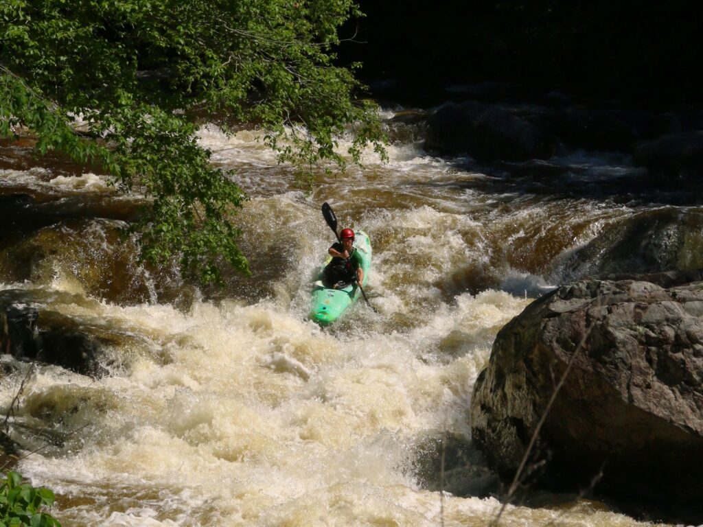
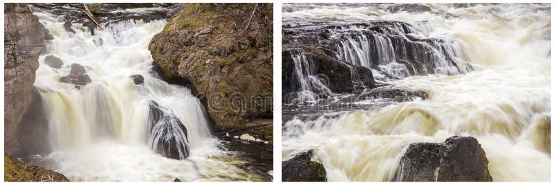
Runnable during the fall drawdown of Otis Reservoir, when paddling hordes head for the Farmington. Check out the Bear's Den Section, New Boston Section, and Upper New Boston sections of that river. The Fall River is harder and more intense than Sandy Brook
Rapids in this Run (2)
Difficulty
Class IV+
Length
1.2 mi
Gradient
91 ft/mi
Rapids
2
Access Points
Difficulty Classes
I Easy
II Novice
III Intermediate
IV Advanced
V Expert/Extreme
VI Unrunnable
Current Conditions
5-Day Forecast
Whitewater data from
American Whitewater
American Whitewater