Oxbow Bend / Ralston Afterbay to Drivers Flat Road
Gauge Conditions
Runnable: ? – ? CFS
Approximate reading: This gauge is 8.3 miles away on American. Use as a general reference only.
Data from American Whitewater & USGS
CDEC Flow Data California
Data from California Data Exchange Center (CDEC)
Run Map
Run Time Estimate
Select put-in and take-out to estimate time.
Plan This Trip
See wind-adjusted speed maps, forecast planning, and detailed time estimates.
Sign in to generate an AI timing estimate for this run.
Whitewater timing varies with scouting, portages, and group pace. Use as a planning baseline.
Description
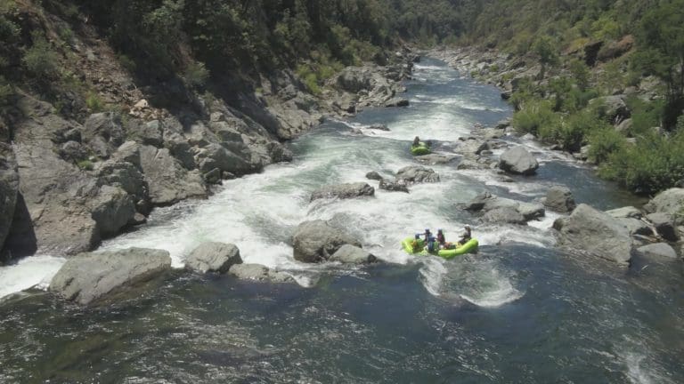
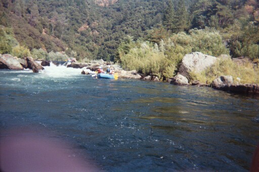
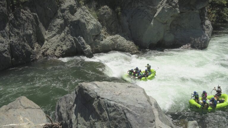
This is a popular summer and fall rafting river since it has dependable daily flows from Oxbow powerhouse. It is usually done in a day, but it also makes a nice overnight trip, giving time to explore the many interesting side canyons and relics from mining days.
Overnight camping permits are required, and as of June 2015, it is legal to camp year round.
Camping is permited in the following areas on the Middle Fork American:
· Volcano Creek to Big Snyder Gulch
· Gas Canyon to Browns Bar
Contact Auburn State Recreation Area Whitewater Recreation Office: (530) 823-4162
CA State Parks Gold Fields District Office: (916) 988-0205
Each summer runners competing in the Western States 100 Mile Endurance Run and Riders competing in The Tevis Cup cross the Middle Fork American River at Ruck-a-Chucky Campground (Drivers Flat Take-Out). To facilitate these events scheduled releases are typicaly earlier in the day and Drivers Flat Road may be closed.
For the dates of these events see the respective websites:
Western States 100
The Tevis Cup
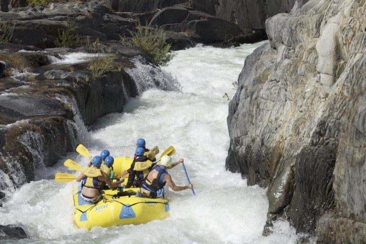
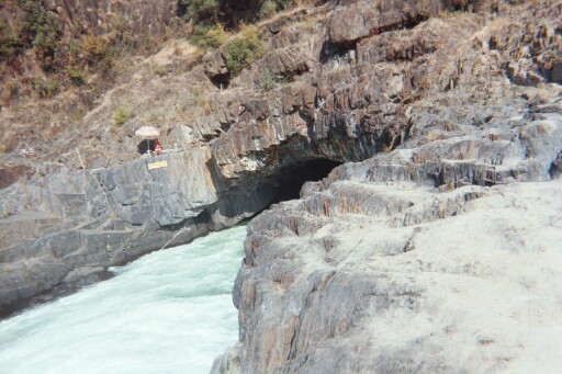
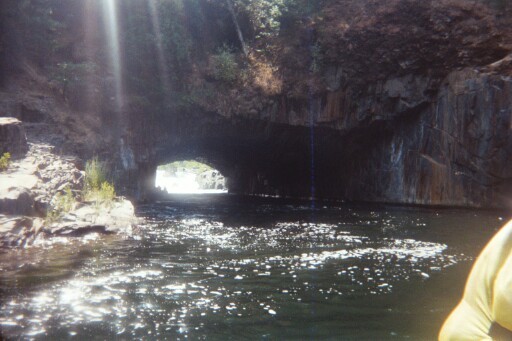
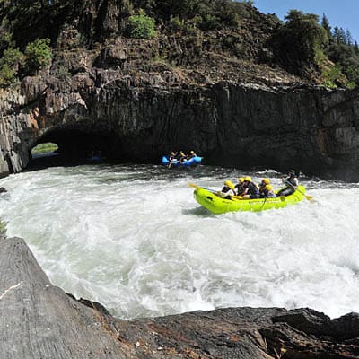
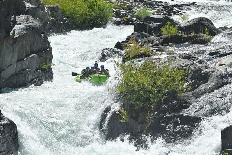
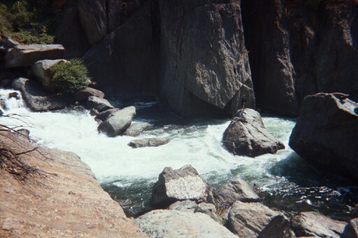
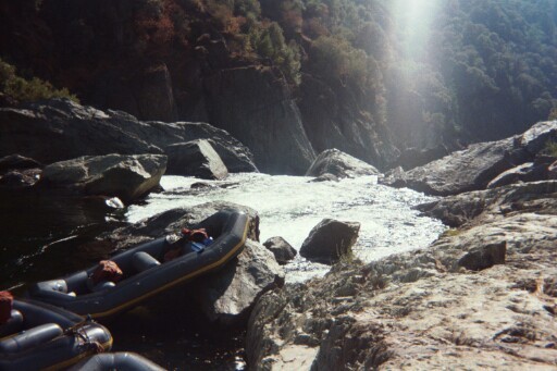
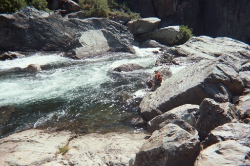
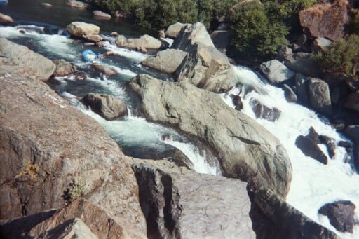
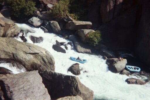
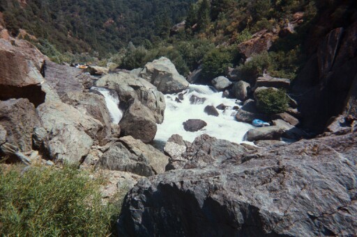
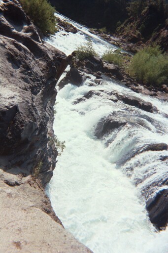
Two dangerous rapids stand out. Tunnel chute is a steep jagged man made channel leading to a calm float through a tunnel in the hillside. Ruck-a Chucky is a difficult portage around a big boulder jumble.
Putin: Indian Bar Rafting Acess
Other Information Sources:
CA Creekin' description.
Class V Love, by Mark White in the AW Journal Archives.
Video of river closing due to high water (5,666 cfs) from gate malfunction Aug. 5, 2004
All Outdoors report of high water from gate malfunction Aug. 5, 2004
\All Outdoors Rafting video
Tunnel Chute video - raft\)
Rafting - R1- through Ruck a Chucky Falls- video
Book References: Cassady & Calhoun, Holbek & Stanley, Martin, Penny, Gerald Meral
FERC Information:
Oxbow Powerhouse is one of 5 powerhouses and 7 diversions in the Middle Fork American River Project, which is presently going through the relicensing process.
Rapids in this Run (19)
 Rapid
III
Rapid
III
Carl's Crash
 Rapid
Rapid
Santa's Mustache
 Rapid
III
Rapid
III
Last Chance
 Rapid
Rapid
Tunnel Chute Entrance from Upstream
 Rapid
Rapid
Entrance to the Tunnel from Right Bank
 Rapid
Rapid
Sun Shafts
 Rapid
III
Rapid
III
Soul Train
 Rapid
Rapid
Volcano Creek
 Rapid
Rapid
Orange Wall
 Rapid
IV
Rapid
IV
Kanaka
Rapid
II
Nine miles of Class I and II
 Rapid
Rapid
Cash Rock
 Rapid
Rapid
Jump Rock
 Rapid
Rapid
Big Snyder Gulch
 Rapid
Rapid
River Access
 Rapid
IV
Rapid
IV
Cleavage (Lower Ruck-A-Chucky)
 Rapid
IV
Rapid
IV
Parallel Parking
 Rapid
III+
Rapid
III+
Class III-IV Rapids
 Rapid
Rapid
Gas Canyon
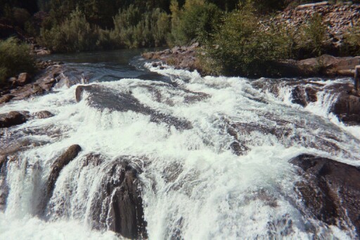
Waterfalls (6)
Hazards & Portages (8)
Caution: The following locations may require scouting or portaging. Always check current conditions.
Difficulty
Class II-IV(V+)
Length
15.2 mi
Gradient
23 ft/mi
Rapids
19
7 Hazards
1 Portage
Access Points
Difficulty Classes
I Easy
II Novice
III Intermediate
IV Advanced
V Expert/Extreme
VI Unrunnable
Current Conditions
5-Day Forecast
Whitewater data from
American Whitewater
American Whitewater