Palisades-Kepler State Park (PnP)
Gauge Conditions
Runnable: ? – ? CFS
Approximate reading: This gauge is 5.5 miles away on Cedar. Use as a general reference only.
Data from American Whitewater & USGS
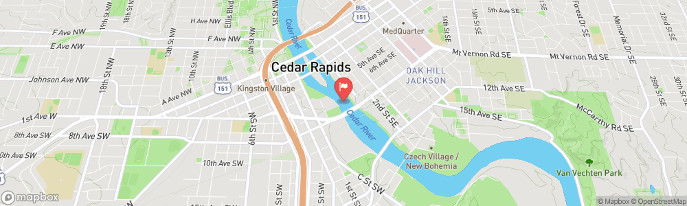
Run Map
Description
Update 2020 - Strongly recommended to get in touch with a local boater that knows the flows and area for here. Alot has changed over the years, so the previous info below may or may not be accurate. This a deteriorating dam that is constantly changing. It's the site of many drowings/near misses (2 drownings in 2019). You need to know where to go and not go, that changes with water levels too.
At the right flows there is a wave with some serious hazards around it (according to local paddlers). Rebar, fresh rock and metal coffer material is present. Cliffs on both sides, pushy water, and other associated hazards should limit this area to high intermediate and expert paddlers only. The majority of the flow goes through the river right dam-breach which creates reactionary waves, haystacks and other boat-swampers.
Update - 03-27-11: Two play areas are described below; the 'Channel Side' on the west or opposite side of the river from the put in (pictured above). And 'The Hole' which is downstream from the put in and created by the intact portion of the dam. On the river left side the hole is playable. Get more than a boat length or two towards the middle and it gets terminal.
Don't be tempted to run the center slot of the dam or play below it as there are a multitude of snags and other nasties just below the surface.
Rapids in this Run (1)
Difficulty
Class III
Length
0.6 mi
Rapids
1
Access Points
Shuttle Info
This is a 'park-and-play' spot, so ignore the 'shuttle directions' which are automatically created below. However, you may uset the text-box to enter your home (or other starting) address to get drive time, distance, and directions to this playspot.
Difficulty Classes
I Easy
II Novice
III Intermediate
IV Advanced
V Expert/Extreme
VI Unrunnable
Current Conditions
5-Day Forecast
Whitewater data from
American Whitewater
American Whitewater