Park Boundary to Hwy 101
Gauge Conditions
Runnable: 26.0 – 28.0 FT
Best levels unknown. Help us out! Add a comment.
Data from American Whitewater & USGS
Run Map
Run Time Estimate
Select put-in and take-out to estimate time.
Plan This Trip
See wind-adjusted speed maps, forecast planning, and detailed time estimates.
Sign in to generate an AI timing estimate for this run.
Whitewater timing varies with scouting, portages, and group pace. Use as a planning baseline.
Description
Season: Winter rain storms.
Description
The primary whitewater run with simple logistics is to run from Olympic National Park Boundary down to Bogachiel State Park at Highway 101, a 4.7 mile run. This is a good class II run with some fun eddy lines and a couple of medium-sized boulders that create good features. You can continue on down with a Class I float all the way to the Quillayute River confluence. There are reports of individuals who have run the Upper Bogachiel by hiking in from the Sol Duc but beta is limited.
Logistics
_River Mile 0 (Leyendecker Boat Ramp)_
From Highway 101 mile 193.2 just north of Forks, turn on to La Push road and continue 7.8 miles to Mora Road. Turn right on Mora Road and continue 0.2 mile to the river access where the Sol Duc joins the Bogachiel to become the Quillayute. From this access it's about 6 miles down the Quillayute River to the ocean at La Push.
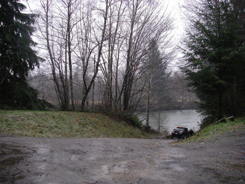
_River Mile 5.0 (Wilson Boat Ramp)_
Located off La Push Road which turns off from Highway 101 at mile 193.2 just north of Forks. Head 5.5 miles down this road and turn left on Wilson Road. Follow this road 0.7 miles to the boat ramp (WDFW parking sticker required).
_River Mile 8.4 (Bogachiel Fish Hatchery Ramp)_
Located just upstream of the Calawah River confluence. In the town of Forks at Highway 101 mile 191.4 turn west on Bogachiel Way (across from the Forks Coffee Shop). Head 3.3 miles down this road to the rearing ponds. Continue past the ponds to the river and a boat ramp (WDFW parking sticker required).
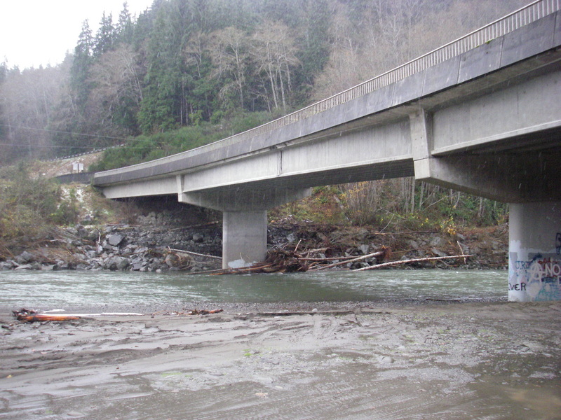
_River Mile 15.3 (Bogachiel State Park, Highway 101)_
A good ramp access is located on river left under the Highway 101 Bridge at mile 185.5.
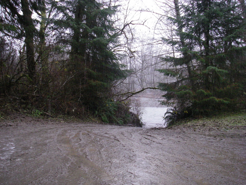
_River Mile 20.0 (Bogachiel Trailhead, Olympic National Park)_
At Highway 101 mile 186.0 take North Bogachiel Road as it heads upstream on river right. You'll get several looks at the river before arriving at the trailhead after 5.4 miles. From the trailhead you need to hike about 15 minutes upstream to reach convenient river access. Alternatively you can pick a spot along the road where the river is closer.
_River Mile 33.3 (North Fork confluence)_
No access here other than hike in but this gives you a reference for the distance from this point out to Highway 101. You can hike up the trail to this point but then the trail turns up the North Fork Bogachiel.
_River Mile 42 (approximate upper put-in)_
To reach this put-in you need to hike in from the Sol Duc drainage and drop down into the Upper Bogachiel.
for additional information see
- Korb, G. 1997. A paddlers guide to the Olympic Peninsula. third edition.
- Olympic National Park website
Rapids in this Run (3)
Difficulty
Class II
Length
5.4 mi
Gradient
24 ft/mi
Rapids
3
Access Points
Difficulty Classes
I Easy
II Novice
III Intermediate
IV Advanced
V Expert/Extreme
VI Unrunnable
Current Conditions
5-Day Forecast
Whitewater data from
American Whitewater
American Whitewater