Play Park
Gauge Conditions
Runnable: ? – ? CFS
Approximate reading: This gauge is 11.8 miles away on Piney River. Use as a general reference only.
Data from American Whitewater & USGS
Run Map
Description
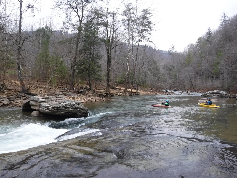
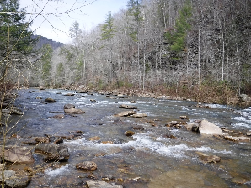
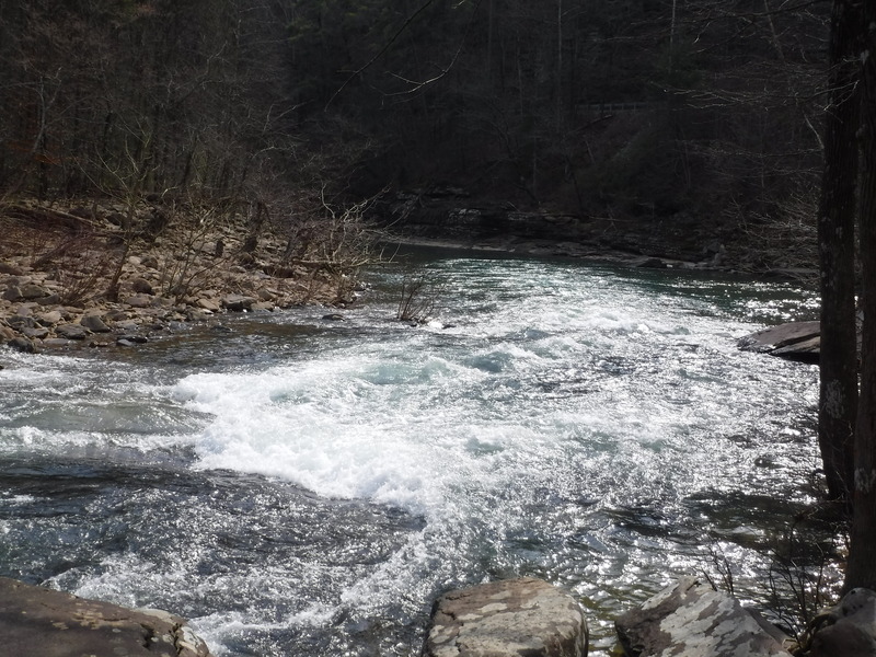
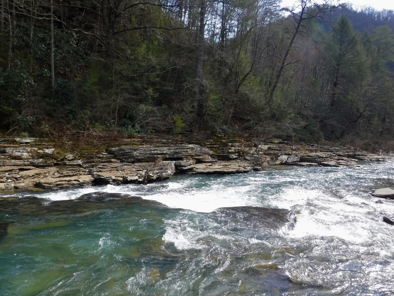
This natural section of the Piney River is a beginner/intermediate paradise and has fantastic access from the Cumberland Trail State Park. With ample parking you can hike, paddle, fish, and picnic in the park. Starting at the confluence of Piney River and Soak Creek there are 4 rapids that offer up great variety and opportunity to refine ones skills: everything from lots of eddies, ferries, and attainment moves to multiple places to surf and a big pool to practice your roll. This section shines the brightest when the flows are too low to run Piney River proper or Soak Creek, making this a fun and doable section especially at winter/spring time base flows (most of the winter). Much of this washes out at high flows.
All of this section is adjacent to the Piney River Management Area of the Cumberland State Scenic Trail (name reference from Google maps). You can walk your boat (75 yards) through the park upstream to the confluence, paddle the four rapids, then get out on river right in the big pool and follow the trail back to the picnic area and your car.
These features are fun at winter base flows, below the normal runnable range for the Piney or Soak. See the photo of the gage for a decent approximation of minimum fun flows.
Note that this area can serve as an access area for runs on Soak Creek, and Piney Creek.
Rapids in this Run (3)
Playspots (1)
Difficulty
Class II-III
Length
0.2 mi
Rapids
3
Access Points
Difficulty Classes
I Easy
II Novice
III Intermediate
IV Advanced
V Expert/Extreme
VI Unrunnable
Current Conditions
5-Day Forecast
Whitewater data from
American Whitewater
American Whitewater