Powerhouse near Inwood to Dersh Road
Gauge Conditions
Runnable: ? – ? CFS
Approximate reading: This gauge is 7.6 miles away on Bear Creek (Sacramento R. Trib). Use as a general reference only.
Data from American Whitewater & USGS
Run Map
Run Time Estimate
Select put-in and take-out to estimate time.
Plan This Trip
See wind-adjusted speed maps, forecast planning, and detailed time estimates.
Sign in to generate an AI timing estimate for this run.
Whitewater timing varies with scouting, portages, and group pace. Use as a planning baseline.
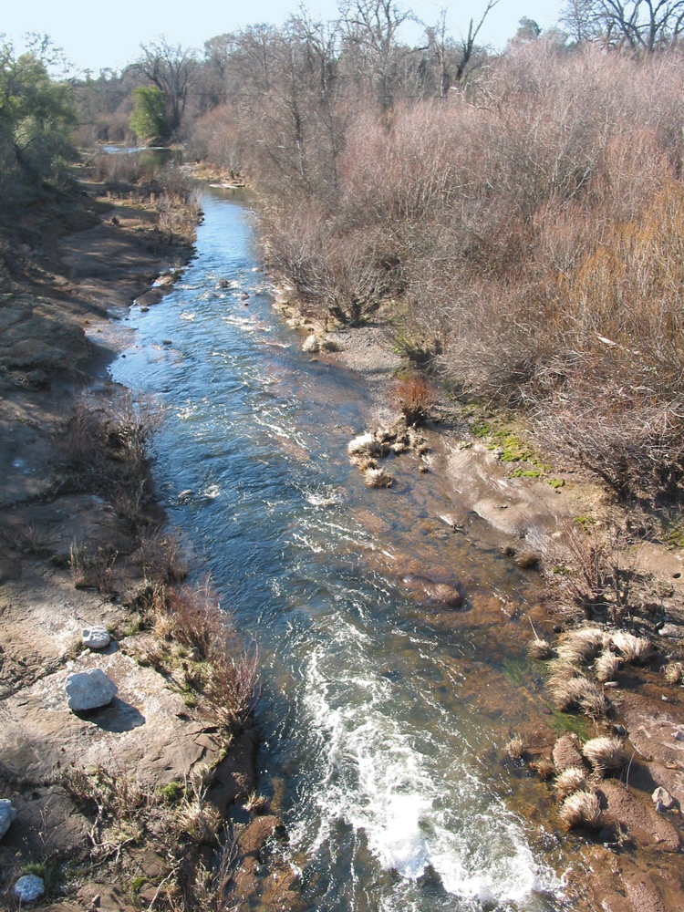
Description
Bear Creek is very small and typically runs for only a short time after big rains. The headwaters of this creek are cut off by Cow Creek to the north and Battle Creek to the south. The highest point in the drainage is about 4500 feet, but most of the area is much lower.
From the hydro plant down to Highway 44 the first few miles are class 3-4. There is a canyon in the middle which is class 5 and class 6. Multiple portages should be expected in this section. The last few miles are again class 3-4.
From Highway 44 down to Dersh Road the run is mostly class 2-3 with a section of class 4 rapids in the middle.
Getting There: From Redding take Highway 44 east. The take out is about 20 minutes away and the put in is around 35 minutes.
Put-In: On Inwoood Rd, about 1/2 mile west of the bridge over the SF Beer Breek, there is a gated road leading down to Bear Creek Hydro-electric plant. The road also provides access to public BLM land, so boaters can legally walk down this road to the river. The distance is about 3/4 mile. There is no public parking nearby on Inwood Rd, so boaters will need a driver to drop them off. Elevation is about 1545 feet.
Highway 44: This half way point allows boaters to paddle either the upper or lower section. There is a small amount of parking on the northwest side of the bridge and quite a bit of parking on the east side of the bridge. Elevation is about 728 feet.
Take-out: Dersh Road, on river right. Parking could be a problem, but there appears to be some space to the west of the bridge. The large area to the east of the bridge appears to be private property. Elevation is about 460 feet.
Other Information Sources:
http://cacreeks.com/bear1sac.htm
http://cacreeks.com/bear2sac.htm
Rapids in this Run (1)
Difficulty
Class IV(V+)
Length
15.0 mi
Gradient
72 ft/mi
Rapids
1
Access Points
Difficulty Classes
I Easy
II Novice
III Intermediate
IV Advanced
V Expert/Extreme
VI Unrunnable
Current Conditions
5-Day Forecast
Whitewater data from
American Whitewater
American Whitewater