Rib Dells: Hwy.64 to Greiner Rd (2.5 miles)
Gauge Conditions
Runnable: 300.0 – 5,000.0 CFS
Probably too low. (Likely under 130 cfs.)
Data from American Whitewater & USGS
Run Map
Run Time Estimate
Select put-in and take-out to estimate time.
Plan This Trip
See wind-adjusted speed maps, forecast planning, and detailed time estimates.
Sign in to generate an AI timing estimate for this run.
Whitewater timing varies with scouting, portages, and group pace. Use as a planning baseline.
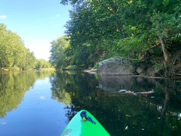
Description
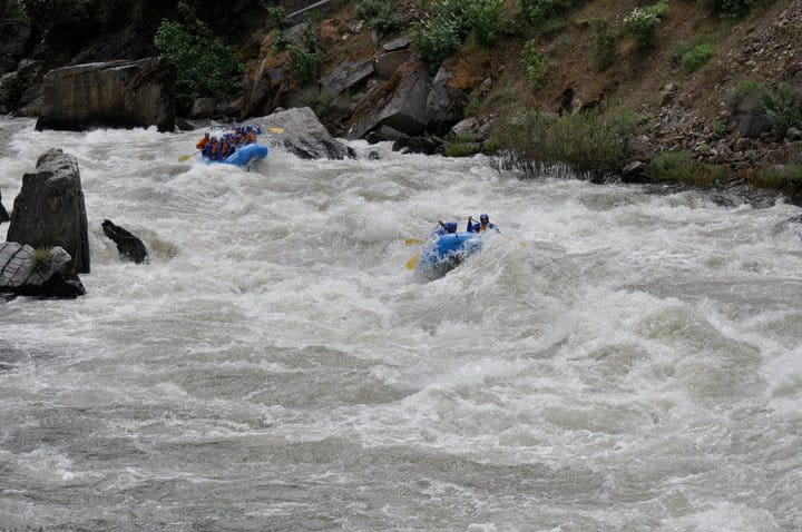
A half-mile, scenic, entertaining dells section is the highlight of this reach.
While there is a "Rib Falls" some 15-20 miles downstream, the majority of the intervening river is flatwater. At Rib Falls, the river drops abruptly about 4-5' over a scenic rock outcropping. There is rock in the landing zone, so it is generally of little boating interest to anyone concerned about their boat and body! (The bridge immediately downstream is the site of the gauge used for this reach.) Downstream, the remainder of the river returns to a peaceful float through Wisconsin's heartland.
Difficulty
Class II
Length
2.5 mi
Gradient
22 ft/mi
max 39
Rapids
3
Access Points
Difficulty Classes
I Easy
II Novice
III Intermediate
IV Advanced
V Expert/Extreme
VI Unrunnable
Current Conditions
5-Day Forecast
Whitewater data from
American Whitewater
American Whitewater