Robin Lane to West River Road (4 miles)
No sufficiently local live gauge linked. 1 automated match was excluded because locality could not be verified. Difficulty and route details are not current water conditions.
Run Map
Interactive run map
Loads as you approach this section.
Run Time Estimate
Select put-in and take-out to estimate time.
Plan This Trip
See wind-adjusted speed maps, forecast planning, and detailed time estimates.
Sign in to generate an AI timing estimate for this run.
Whitewater timing varies with scouting, portages, and group pace. Use as a planning baseline.
Description
Quick Facts:
Location: Central Wisconsin, approximately 5 miles southwest from Stevens Point.
Shuttle Length: 4.8 miles. (See details in "Directions" Tab.)
Put-in elevation is approximately 1068 '.
Take-out elevation is approximately 1036'.
Thus total elevation change is approximately 32'.
Information (lat, lng, elev, total drop, run length, shuttle length) adjusted and/or verified from best manual extrapolation of online data (via maps.google.com, distance measuring tool, and other resources). 2009.02.06
The resolution on Google Maps for this area is pretty good. Go to the 'Map' tab, click 'USGS Aerial' 'Satellite', double-click near the put-in, zoom in to the maximum resolution available (without losing image), and do a 'virtual walk' of this reach!
General Overview
Brendan Hammond offers (2009.04.22):
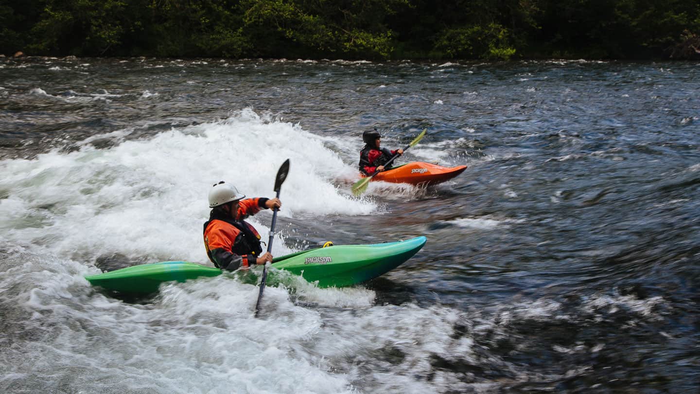
_Mill Creek, west of Stevens Point, is a spring run for any Stevens Point/Marshfield area boaters. It consists of primarily 3 Class II rapids. One is almost a half mile long of fun continuous waves when high._
_The put-in is Robin Lane and the takeout is at the confluence of the creek and the Wisconsin River at "Rusty’s Backwater Saloon", where the creek is a backwater of the Wisconsin River. There is a boat landing where an old bridge was removed, so it’s at the end of Rusty’s driveway. I believe the road is West River Road._
A slightly longer run is possible, putting in at County Highway C, and reportedly picking up one additional rapids.
Thanks, Brendan!
Rapids in this Run (1)
Playspots (1)
Difficulty
Class I-II
Length
4.1 mi
Gradient
8 ft/mi
Rapids
1
Access Points
Shuttle Info
Shuttle directions (take-out to put-in for Mill Creek) appear below.
For drive time, distance, and directions from any other location to the put-in for this reach,
enter (into the text box) your location (either zipcode, city state, address city state, or lat lng coordinates).
Difficulty Classes
I Easy
II Novice
III Intermediate
IV Advanced
V Expert/Extreme
VI Unrunnable
Current Conditions
5-Day Forecast
Whitewater data from
American Whitewater
American Whitewater