Round Lake to Highway 14
Gauge Conditions
Runnable: ? – ? CFS
Approximate reading: This gauge is 5.7 miles away on Lacamas Creek. Use as a general reference only.
Data from American Whitewater & USGS
Run Map
Interactive run map
Loads as you approach this section.
Run Time Estimate
Select put-in and take-out to estimate time.
Plan This Trip
See wind-adjusted speed maps, forecast planning, and detailed time estimates.
Sign in to generate an AI timing estimate for this run.
Whitewater timing varies with scouting, portages, and group pace. Use as a planning baseline.
Description
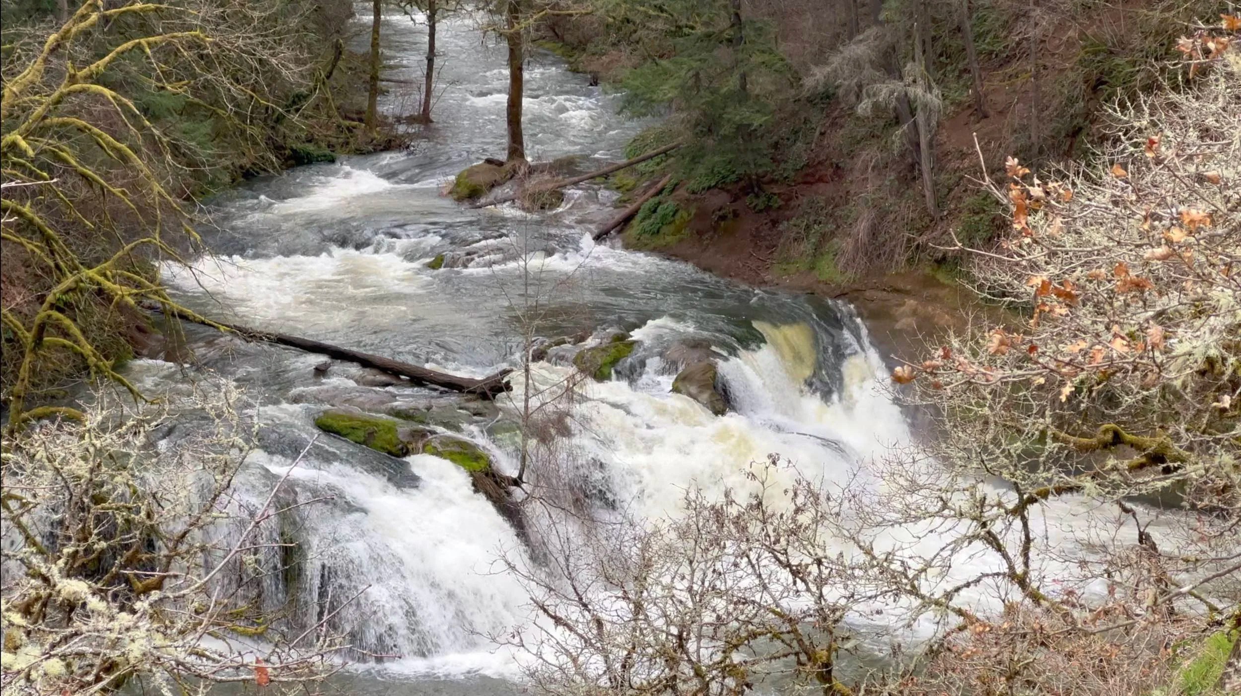
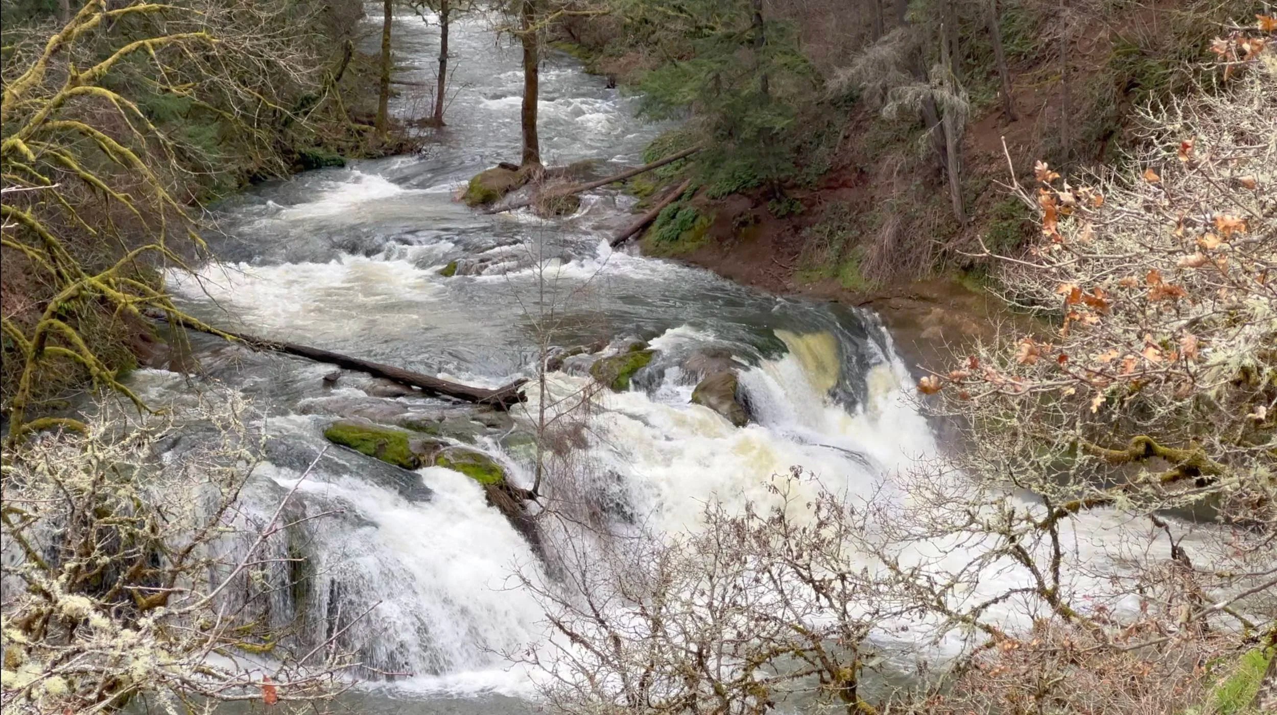
Lacamas Creek is a short, infrequently run whitewater creek in Camas, WA, offering a quick but engaging descent when flows are right. The run features a clean, medium-sized waterfall followed by a long, fast slide that requires solid boat control. It's set in a forested canyon and best suited for experienced paddlers looking for a short, technical challenge.
There is no dedicated gauge for Lacamas Creek, so paddlers rely on local conditions to judge flow. The creek is rain-fed and responds quickly to storms. A key indicator is the status of the upstream reservoir—when it's full and there's ongoing rainfall, excess water spills into the creek, creating reliably runnable conditions on high-water days. Checking nearby rainfall totals and doing a visual scout at the take-out can also help determine whether the creek is in.
Put in Parking lot: Lacamas Park (45°36'13.4'N 122°24'24.9'W)
Take out Parking lot: Lacamas Creek Trailhead (45°35'20.9'N 122°23'29.9'W)
Waterfalls (2)
Hazards & Portages (1)
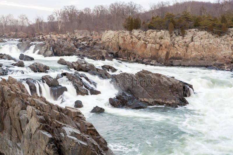
Caution: The following locations may require scouting or portaging. Always check current conditions.
Difficulty
Class V
Length
1.6 mi
Rapids
0
1 Portage
Access Points
Difficulty Classes
I Easy
II Novice
III Intermediate
IV Advanced
V Expert/Extreme
VI Unrunnable
Current Conditions
5-Day Forecast
Whitewater data from
American Whitewater
American Whitewater