Roza to Columbia River
Gauge Conditions
Runnable: 500.0 – 10,000.0 CFS
Data from American Whitewater & USGS
Run Map
Run Time Estimate
Select put-in and take-out to estimate time.
Plan This Trip
See wind-adjusted speed maps, forecast planning, and detailed time estimates.
Sign in to generate an AI timing estimate for this run.
Whitewater timing varies with scouting, portages, and group pace. Use as a planning baseline.
Description
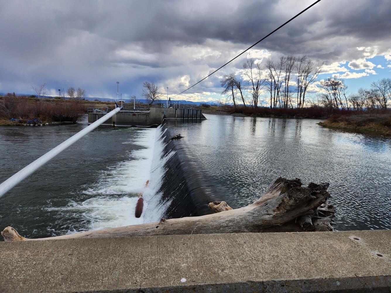
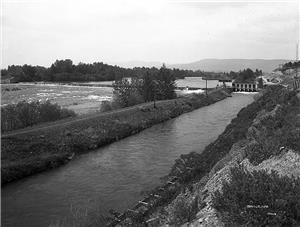
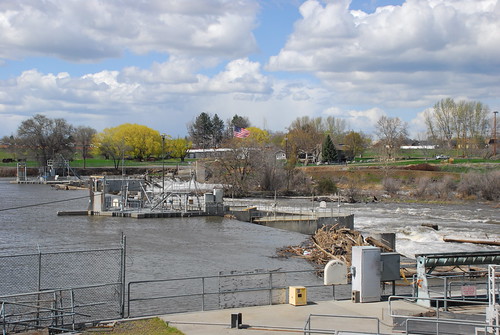
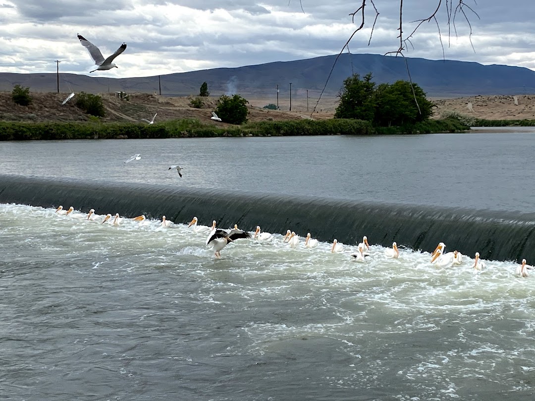
Many different trips are possible on this section but be aware of several hazardous low-head dams requiring a portage.
The different sections includes the following:
The approximately 10 mile reach from the City of Yakima Selah Bridge Ramp just upstream of the Naches River Access to the Century Landing at Union Gap. a take-out prior to the Wapato and Sunnyside Dams.
The section between Sunnyside Dam and Prosser Dam is approximately 60 miles with several intermediate access points.
Downstream of Prosser Dam the river flows for approximately 15 miles with some class II down to Benton City.
At Benton City the river flows for approximately 30 miles to the Columbia River along the Tapteal Water Trail. This reach is class I but includes the hazard of the Horn Rapids Dam that must be portaged. There are several intermediate access points along the Tapteal Water Trail.
Rapids in this Run (18)
Rapid
Selah Bridge Ramp, Yakima
Rapid
Century Landing Ramp, Union Gap
Rapid
Mellis Road Access
Rapid
Fitzsimmons Ramp Access
Rapid
Zillah Bridge Ramp
Rapid
Granger Public Access
Rapid
Mabton Boat Launch
Rapid
Prosser Boat Ramp
Rapid
Grant Ave. Park Access, Prosser
Rapid
Benton City Launch
Rapid
Upper Horn Rapids Access
Rapid
Horn Rapids Park Access
Rapid
Snively Road Access, West Richland
Rapid
Twin Bridges Access
Rapid
Hyde Road Access, West Richland
Rapid
Yakima River Gateway
Rapid
Duportail River Access Site, Richland
Rapid
Chamna Access
Hazards & Portages (4)
Caution: The following locations may require scouting or portaging. Always check current conditions.
Difficulty
Class I-II
Length
130.0 mi
Rapids
18
4 Hazards
Access Points
Difficulty Classes
I Easy
II Novice
III Intermediate
IV Advanced
V Expert/Extreme
VI Unrunnable
Current Conditions
5-Day Forecast
Whitewater data from
American Whitewater
American Whitewater