Rt. 16 South of Glover to Lake Memphremagog
Gauge Conditions
Runnable: 300.0 – 1,250.0 CFS
Data from American Whitewater & USGS
Run Map
Run Time Estimate
Select put-in and take-out to estimate time.
Plan This Trip
See wind-adjusted speed maps, forecast planning, and detailed time estimates.
Sign in to generate an AI timing estimate for this run.
Whitewater timing varies with scouting, portages, and group pace. Use as a planning baseline.
Description
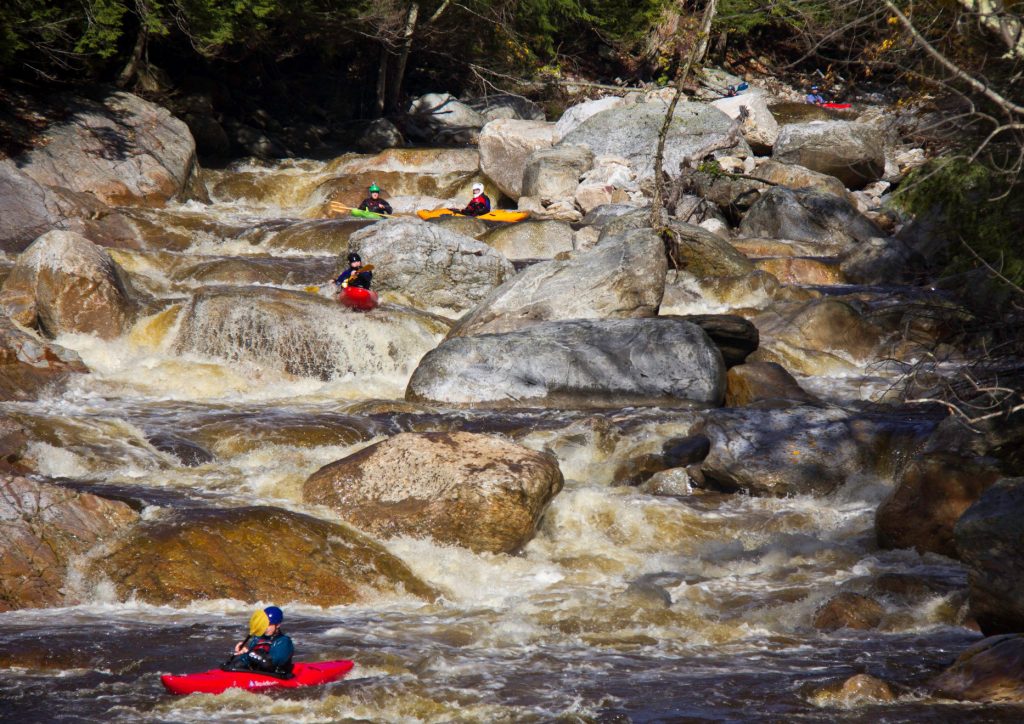
There’s a nice short section close to the road. The big drop at the end that you can see from the road and the two rock tunnels under the railway are the main features. It’s easy to lap the upper section tunnel to tunnel. There is another set of rapids in Orléans and there’s the possibility to do mellow paddling on the rest of the river
Flow Info:
The gauge is close to newport. No historical data was available. If you run this section please leave a comment with the level.
Rapids in this Run (1)
Difficulty
Class IV
Length
1.7 mi
Rapids
1
Access Points
Difficulty Classes
I Easy
II Novice
III Intermediate
IV Advanced
V Expert/Extreme
VI Unrunnable
Current Conditions
5-Day Forecast
Whitewater data from
American Whitewater
American Whitewater