Rt. 667 to Rapidan River & Route 29 Bridge
Gauge Conditions
Runnable: 3.5 – 7.0 FT
Data from American Whitewater & USGS
Run Map
Description
The Conway and its nearby sibling the Upper Rapidan are Class III whitewater runs that start at the Shenandoah National Park boundary. Both rivers suffered extensive damage in the 1995 flood and were essentially 'rebuilt', which means they were cleared of debris and a new cobbled river bed was created for them. Due to the gradient in the upper sections of these rivers, this makes for a pretty exciting start.
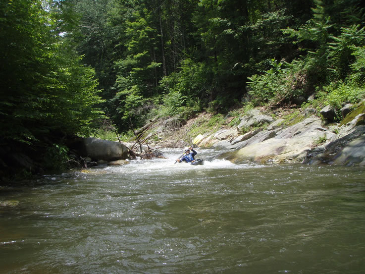
The Conway starts with a very steep section above Kinderhook that should be carefully considered before run. This section can be scouted from Rt. 667, which runs alongside the upper part of this stream.
To run just the best and steepest 5 miles, take out at Rt. 230. Below 230, the river is a Class II that also requires you to run 5 miles of the calmer Rapidan to the Rt. 29 takeout. There is a dangerous low head dam just above Rt. 29 on the Rapidan that should be portaged left.
Notes 06/19/09 :The upper section above Kinderhook was barely runnable at 7' on the Rapidan gauge. This gauge is 13 miles downstream after the confluence of the Rapidan and the Conway and is not reliable for the section above 230. This little valley is very hit or miss on water levels.
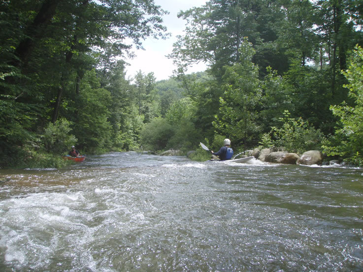
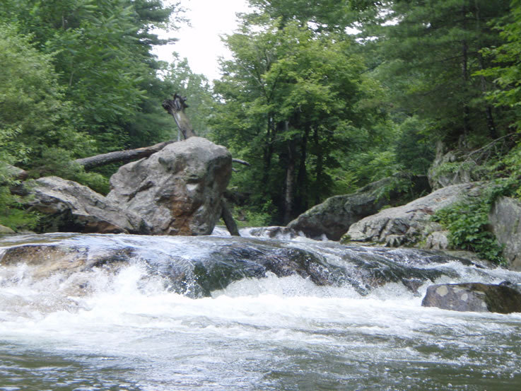
This upper section is good fun, with a lot of 50' to 75' boulder garden sections between small pools in a step gradient. Be aware that above the Pocosin confluence there is a low water concrete bridge that could be a keeper hole if water is flowing over it.
Between the Circle Road bridge and Route 230 the gradient lessens and strainers abound, as does kudzu, poison ivy, and cow fields. Pick your channels well here as the channels are tight and many strainers can be found just after turns. There are, however, a couple nice ledges hidden in this section, including a 5' double ledge with a line far left and a technical line far right that involves dropping the first ledge into a narrow crease and punching a hole.
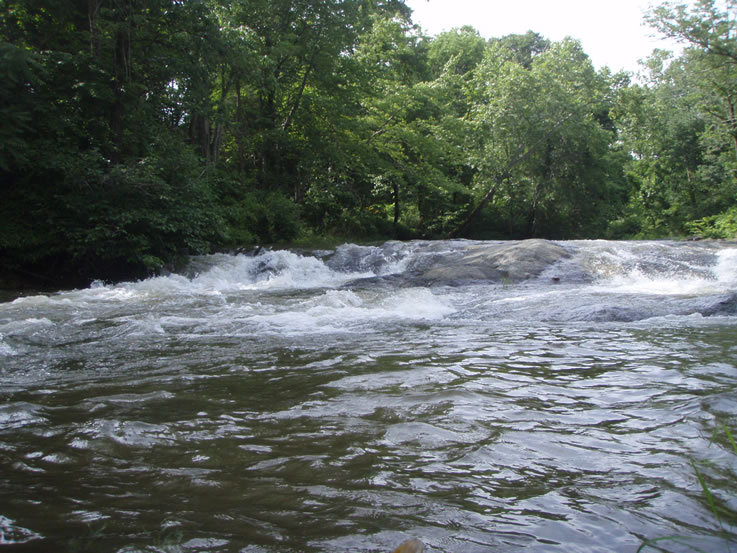
Below Route 230 the river evens out nicely and there is less bushwacking to contend with. There are several class II+ ledge drops in here, some nice small surfing waves and abundant wildlife. I'd reccommend this section for beginners with the exception of one S-turn ledge that tried to eat my paddle. This ledge can be snuck river right.
The low head dam is just past the water tank that sits on on river right, it is really nasty looking but can be snuck far river left. if you have any doubts, walk it.
See Also:
_Classic Virginia Rivers,_ Ed Grove (1992 ed), p. 54.
_Virginia Whitewater_, Roger Corbett (2000 ed.), p. 153.
_Exploring Virginia's Waterways_, Ed Gertler (2022 ed.), p. 101.
Rapids in this Run (4)
Difficulty
Class II-III
Length
14.4 mi
Gradient
60 ft/mi
max 100
Rapids
4
Access Points
Difficulty Classes
I Easy
II Novice
III Intermediate
IV Advanced
V Expert/Extreme
VI Unrunnable
Current Conditions
5-Day Forecast
Whitewater data from
American Whitewater
American Whitewater