Rte. 1 (4.5 miles NW of Finland) to Finland (5.4 miles)
Gauge Conditions
Runnable: ? – ? CFS
Approximate reading: This gauge is 17.9 miles away on Baptism. Use as a general reference only.
Data from American Whitewater & USGS
Run Map
Run Time Estimate
Select put-in and take-out to estimate time.
Plan This Trip
See wind-adjusted speed maps, forecast planning, and detailed time estimates.
Sign in to generate an AI timing estimate for this run.
Whitewater timing varies with scouting, portages, and group pace. Use as a planning baseline.
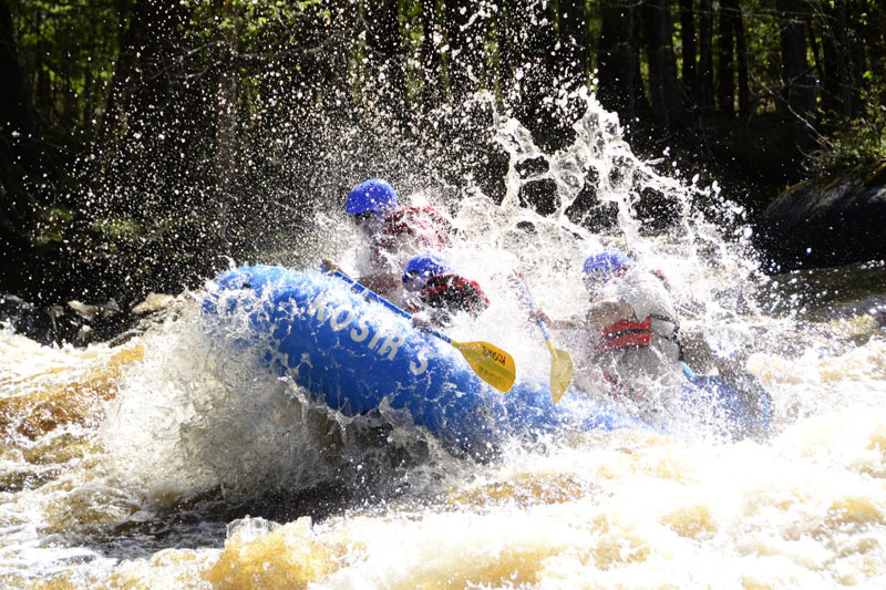
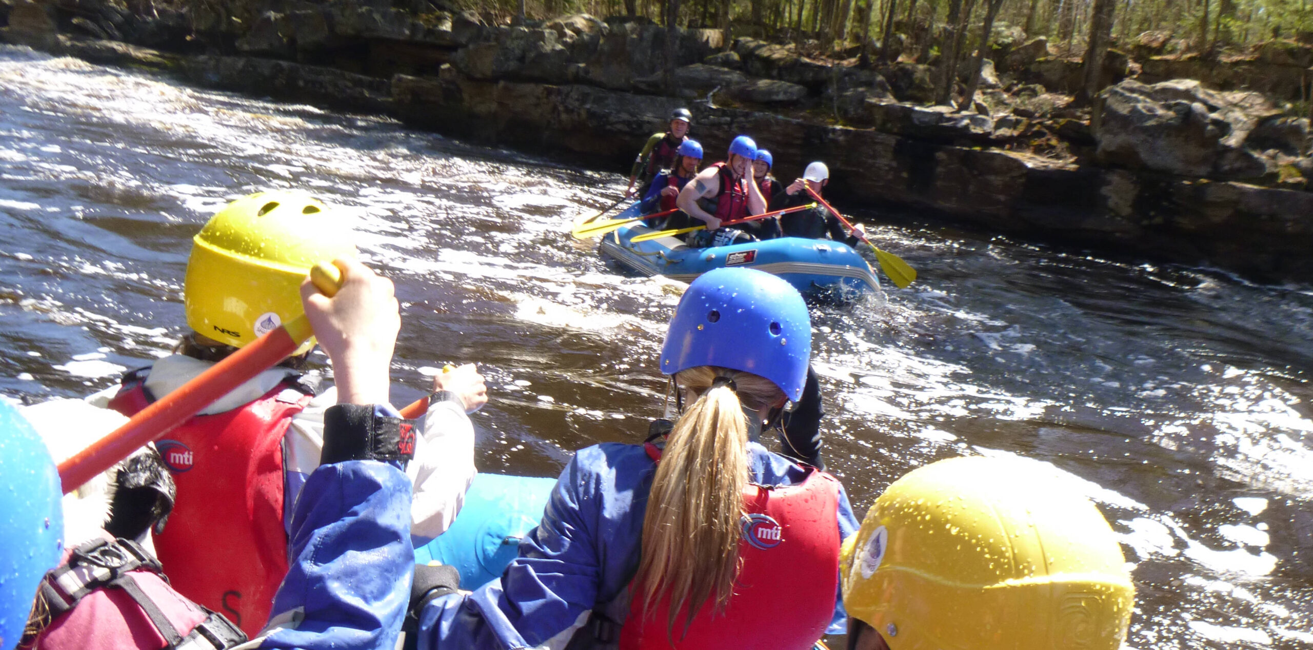
Description
Short road-side carry in.
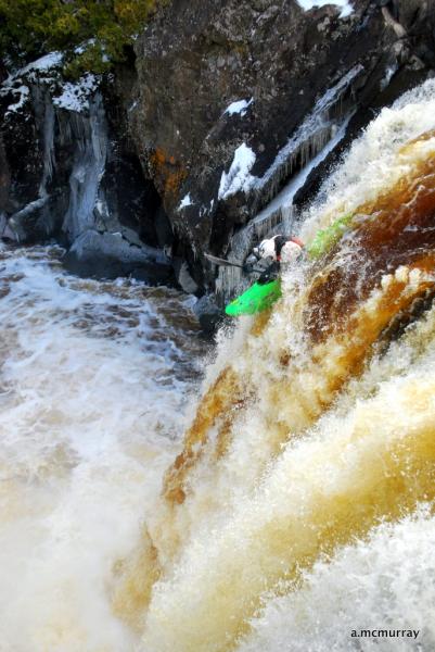
The first mile (to Crown Creek confluence) is very narrow and fast with few eddies. This is short boat, technical maneuvering, rock dance water. While the rapids do not break above class II, boaters must have sufficient skills to react quickly and catch small eddies in this tight, technical water.
A trail bridge in this section acts as an impassable strainer (mandatory portage). Strainers have otherwise seldom been a problem, since generally the banks are lined with alder, making 'brush-bashing' a more frequent concern.
This reach makes a likely extension for a run on the upper Baptism.
Difficulty
Class II-III
Length
5.3 mi
Gradient
71 ft/mi
Rapids
7
Access Points
Difficulty Classes
I Easy
II Novice
III Intermediate
IV Advanced
V Expert/Extreme
VI Unrunnable
Current Conditions
5-Day Forecast
Whitewater data from
American Whitewater
American Whitewater