Ryker to Hwy. 21 (7.5 miles)
Gauge Conditions
Runnable: ? – ? CFS
Approximate reading: This gauge is 5.0 miles away on Beech Creek. Use as a general reference only.
Data from American Whitewater & USGS
Run Map
Run Time Estimate
Select put-in and take-out to estimate time.
Plan This Trip
See wind-adjusted speed maps, forecast planning, and detailed time estimates.
Sign in to generate an AI timing estimate for this run.
Whitewater timing varies with scouting, portages, and group pace. Use as a planning baseline.
Description
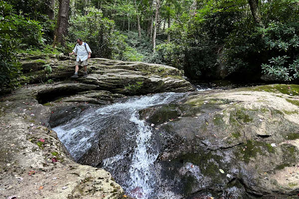
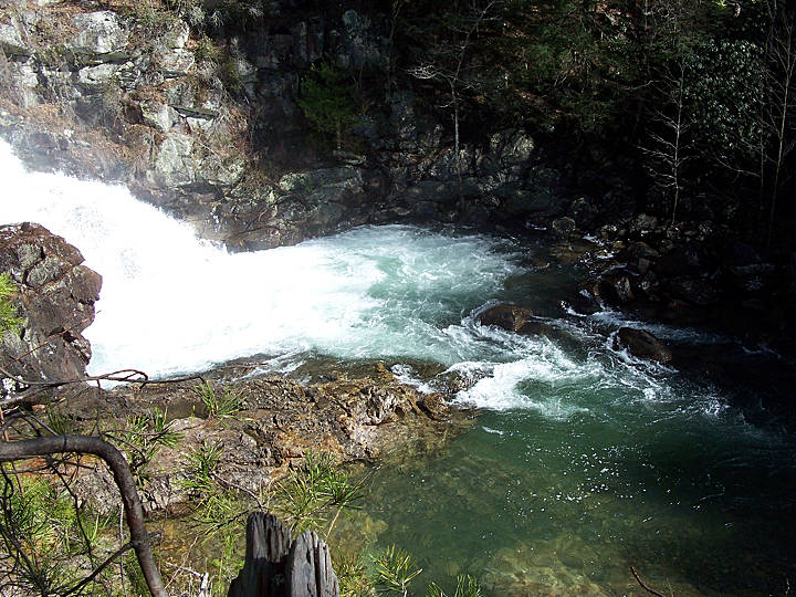
Note: The combination of Steep banks and lots of deadfalls tend to clog the creek with wood from time to time, so keep look out.
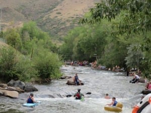
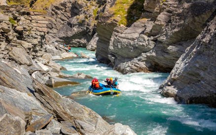
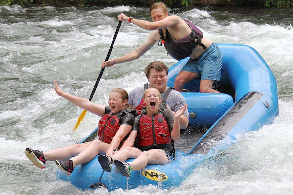
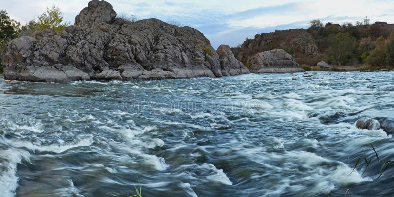
Ozark Creekin' at its best. Not super steep but lots of class III action with several class IV-V drops mixed in. Some of the highlights include, Shotgun, Door #4, Beech Ball, White Lightning, Beech Falls and numerous others that don't have official names.
Typical hazards include, downed wood, undercuts, sieves, pin/piton rocks and stout holes.
Spray Paint Gauge on the Highway 21 Bridge Pillars on River Right. Look for 4' and steady or rising, or 5' and falling for a good run. AW Online gauge References Boxley, which is the closest proxy.
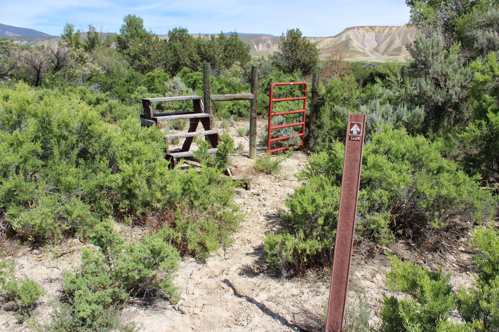
Put in: Hike in from Cave Mtn. Rd. near Ryker just past the Whitaker Point (Hawksbill Crag) trail head(actual put-in is on Edgemon Creek . GET PERMISSION FROM LOCAL LANDOWNERS BEFORE TRESPASSING ON PRIVATE LANDS. Aim for the just above the confluence of Evans Hollow.
Take out: Hwy 21 bridge just upstream of confluence with Buffalo River. Parking is available at the Cave Mtn Road/Hwy 21 intersection near the Buffalo River 'Boxley' bridge 150 yards south of the Beech Creek bridge .
See the description at Ozark Whitewater Page.
Put-in requires carrying down a trail. First half of the run is on Edgemon Creek.
If water level and time permit, carry up and run the last couple drops on Beech Creek.
The run starts in the Ozark National Forest and ends inside the Buffalo National River Park. However most of the run is on private land.
See some video of the creek here.
Rapids in this Run (8)
Hazards & Portages (2)
Caution: The following locations may require scouting or portaging. Always check current conditions.
Difficulty
Class III-V
Length
7.5 mi
Gradient
90 ft/mi
max 120
Rapids
8
2 Hazards
Access Points
Shuttle Info
**Put in:** Hike in from Cave Mtn. Rd. near Ryker just past the Whitaker Point (Hawksbill Crag) trail head(actual put-in is on Edgemon Creek . GET PERMISSION FROM LOCAL LANDOWNERS BEFORE TRESPASSING ON PRIVATE LANDS.
**Take out:** Hwy 21 bridge just upstream of confluence with Buffalo River. Parking is available at the Cave Mtn Road/Hwy 21 intersection near the Buffalo River bridge.
Difficulty Classes
I Easy
II Novice
III Intermediate
IV Advanced
V Expert/Extreme
VI Unrunnable
Current Conditions
5-Day Forecast
Whitewater data from
American Whitewater
American Whitewater