Sandy Ford Access Road to Sandy Ford
Gauge Conditions
Runnable: 4.0 – 10.0 FT
Data from American Whitewater & USGS
Run Map
Interactive run map
Loads as you approach this section.
Description
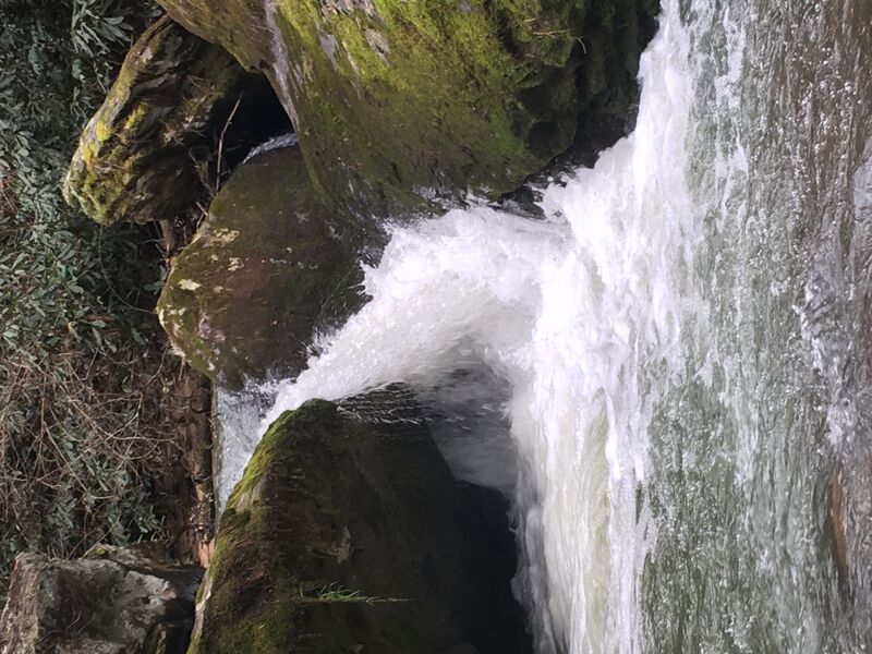
Whetstone creek is a small flood water run only that feeds the Chattooga at Sandy Ford. This creek runs only after huge rain storms but when it runs the final drops are quite impressive.
There is an access point way up on Whetstone Rd. but you will paddle miles of flat water before seeing any action.
The best way to run this creek is to hike down from the Sandy Ford access road.
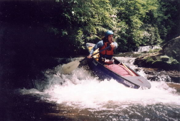
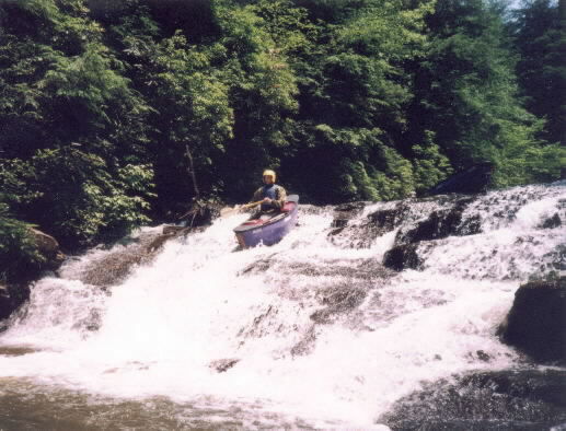
The creek has some small drops before it starts to plunge into the Chattooga. One of the largest class V drops looks similar to Momentary Laps of Reason on the Bear in Georgia.
The big drops look scary at high flow but unless there are trees present they are clean.
Most boaters would just continue down Chattooga Section 3 at super high flow but the takeout option listed is a short carry up on the right from the confluence.
Waterfalls (3)
Hazards & Portages (1)
Caution: The following locations may require scouting or portaging. Always check current conditions.
Difficulty
Class II-III(V)
Length
1.5 mi
Gradient
100 ft/mi
Rapids
0
1 Hazard
Access Points
Difficulty Classes
I Easy
II Novice
III Intermediate
IV Advanced
V Expert/Extreme
VI Unrunnable
Current Conditions
5-Day Forecast
Whitewater data from
American Whitewater
American Whitewater