SC 137 to Lay Bridge Rd
Gauge Conditions
Data from American Whitewater & USGS
Run Map
Description
Written with input from multiple sources including Ethan Talley and Garrick Taylor
The dams have been removed on this section!
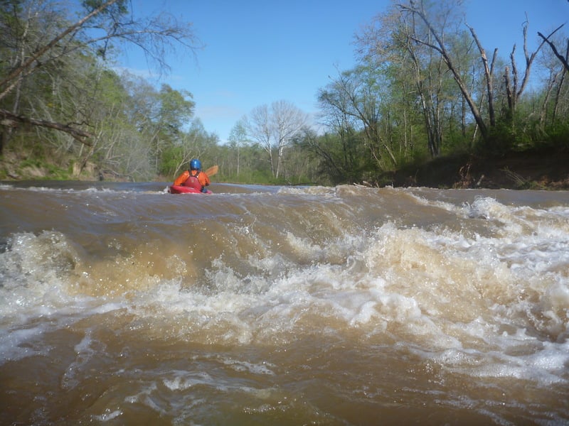
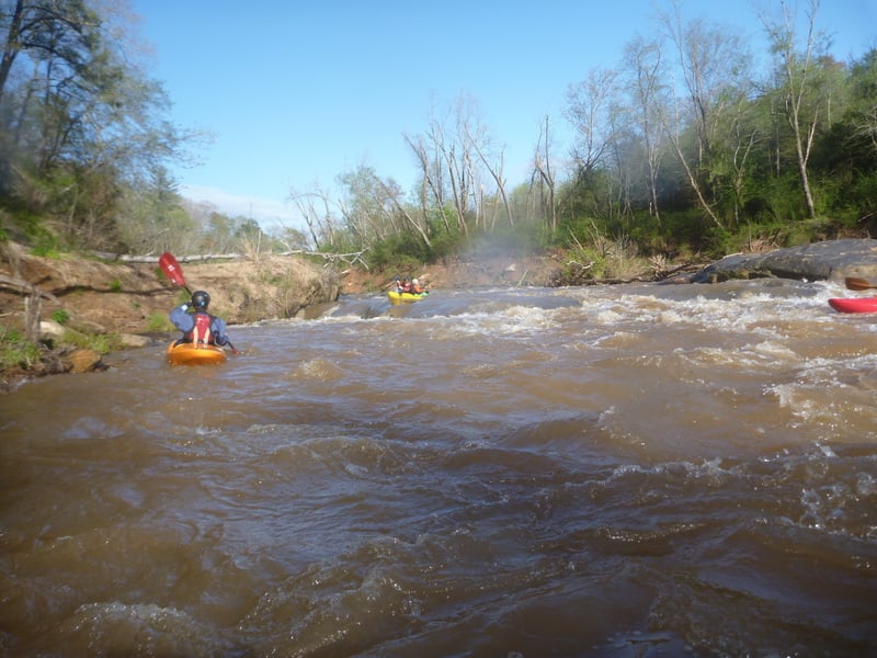
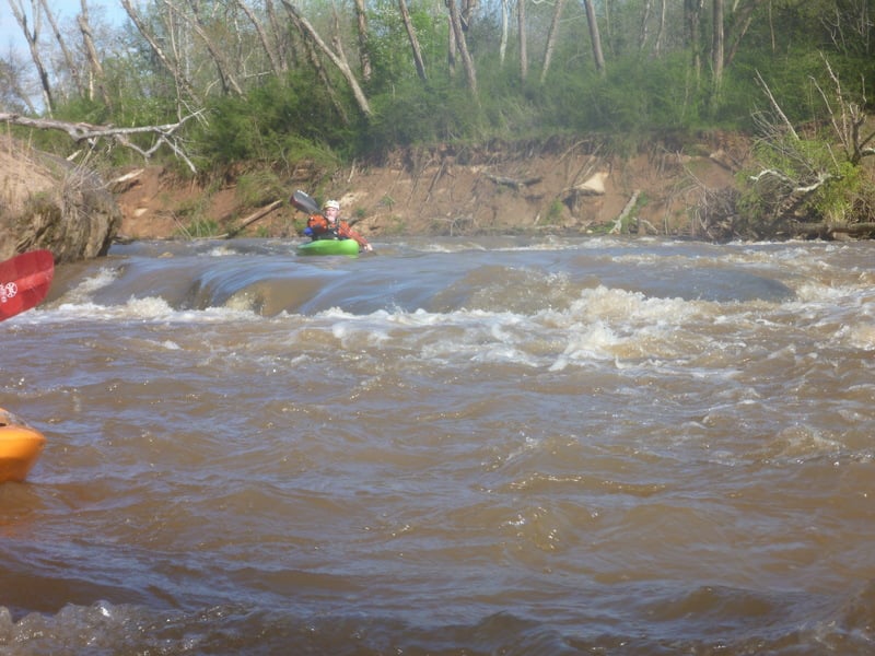
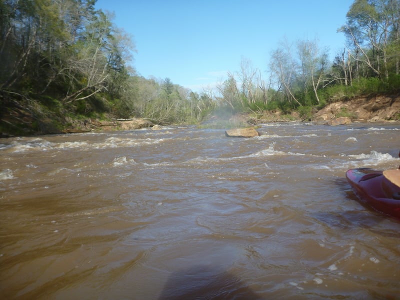
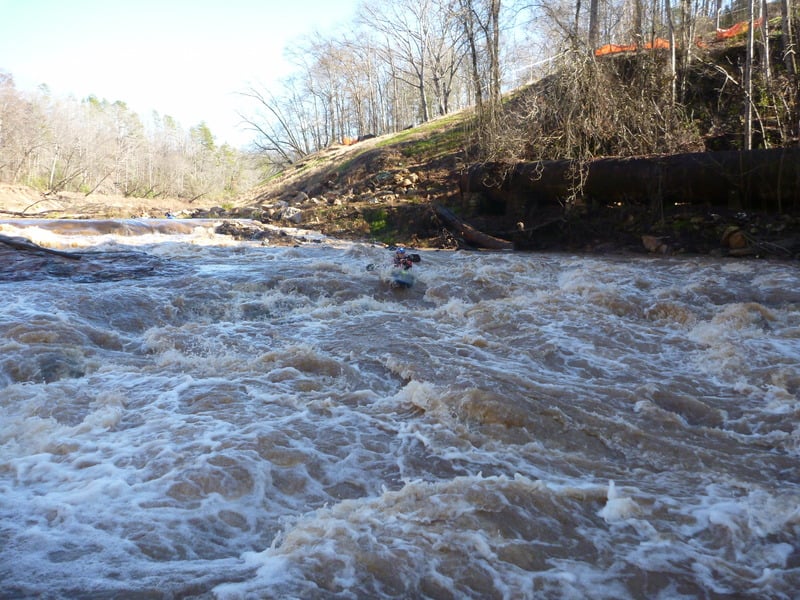
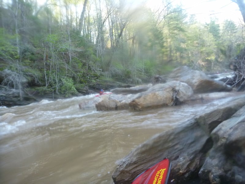
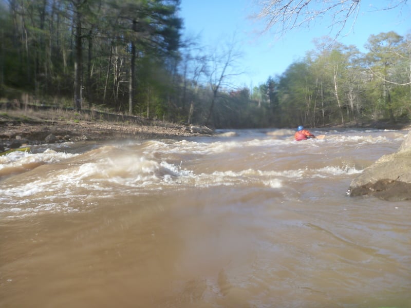
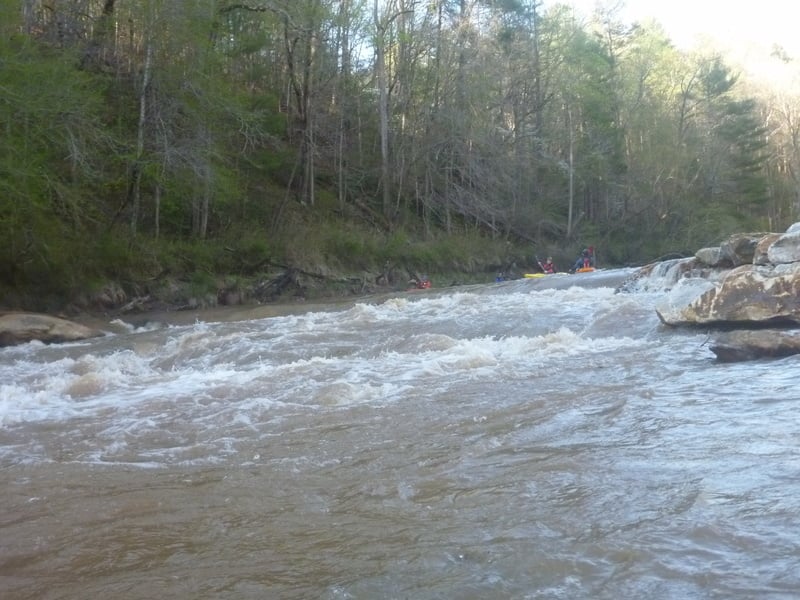
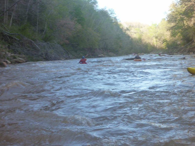
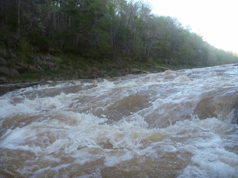
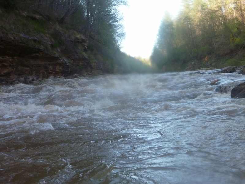
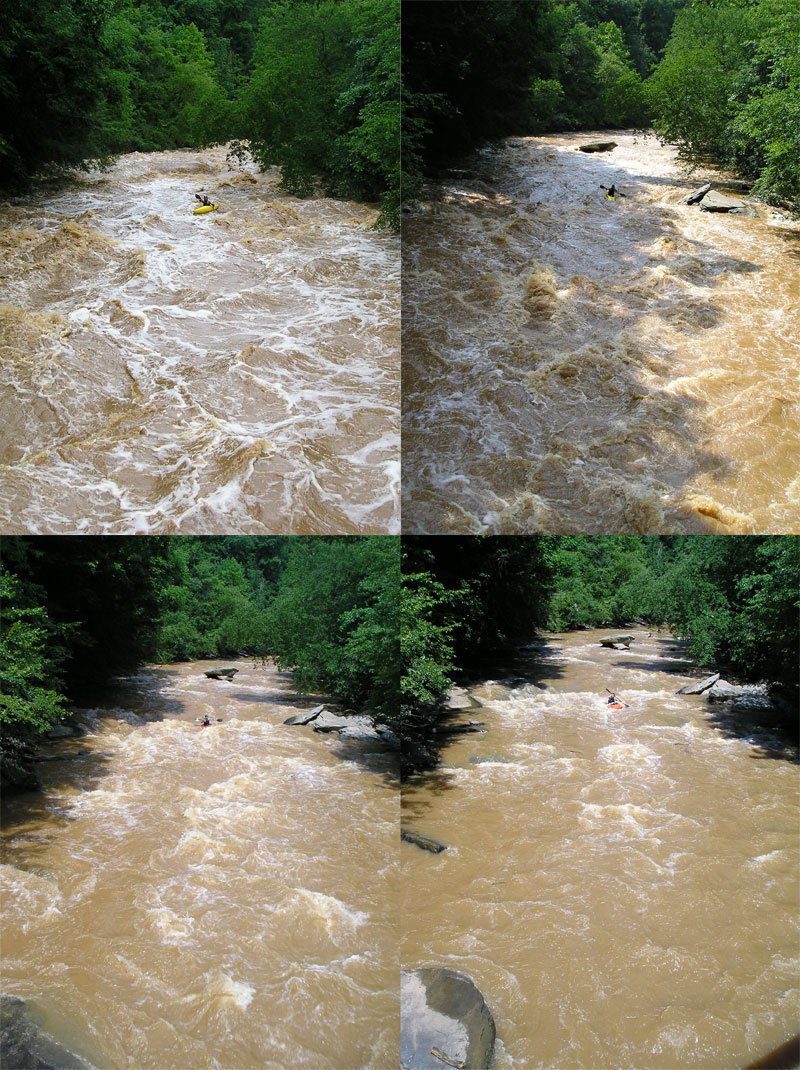
The 12 Mile will be in a state of flux for some time as large sediment loads move downstream. Conditions will change, particularly during high water events. Quite a few trees are in play in a number of rapids, and there's potential for more to fall in as the banks stabilize. Use caution when paddling, especially during the first few high water events.
From SC 137 to the Lay Bridge there is just about 101 feet of gradient in the 12 Mile over 1.8 miles.
Rapids are rated for average flows (~500 cfs), so raise ratings by one notch when paddling high water, or lower them a bit for low water. The very bottom of the run can be run as low as 100 cfs by hiking up the road from the takeout and then down to the river.
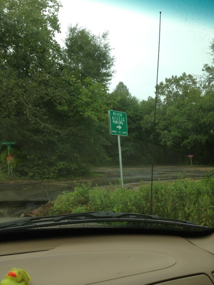
Note on shuttle and parking:
This river’s takeout and put in are very close to residential and high-traffic roads. Be aware as you change and set shuttle/ run laps. Be kind and courteous to the locals and speak whenever possible. The fishermen are usually extremely friendly and very curious about paddle sports. That being said, don’t ruin our reputation here. We could easily start running into vandalism and theft in this area if we don’t keep a good rapport with the locals.
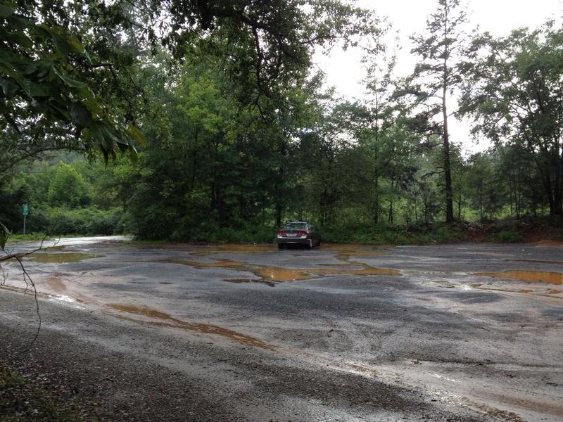
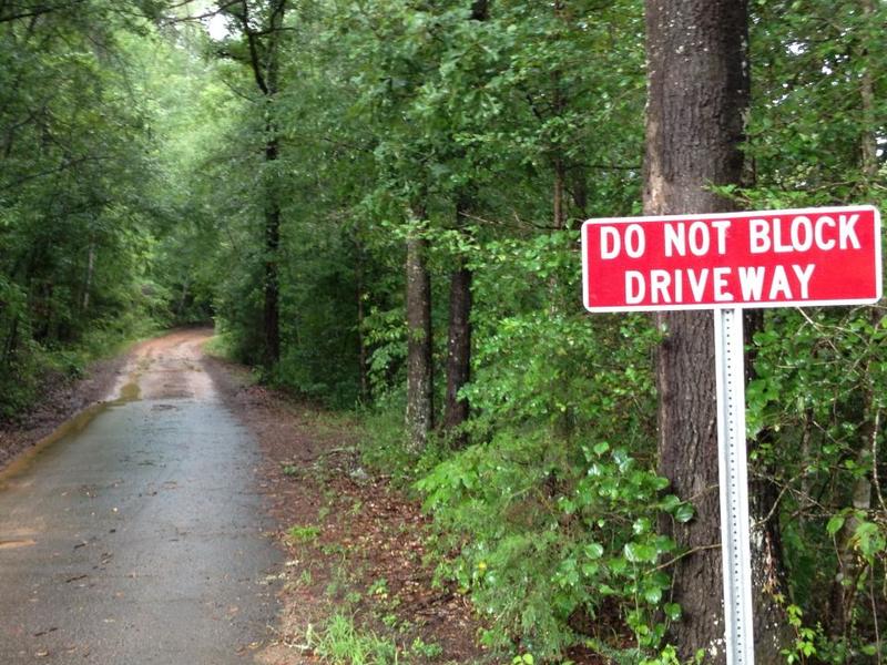
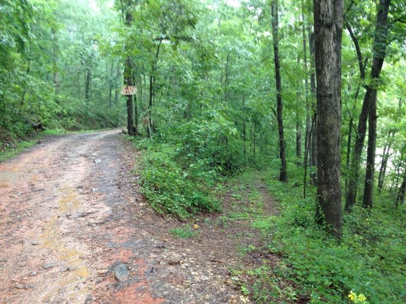
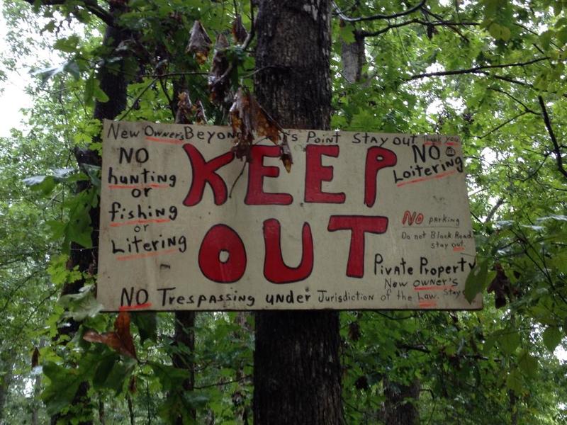
There is a new put-in parking area on upstream river right. The previous put-in used on upstream river left is now posted as a tow zone due to people blocking the gate there. Don't park there. The new parking area is owned by Easley Utilities and leased for use as a put-in. Please park here and keep valuables locked out of sight to discourage break-ins (there haven't been any - let's keep it that way). There is a private drive there. DO NOT drive up this driveway as you will block the landowners that live at the end of that road. You can walk your boat up the driveway to access a put-in location just below the dam. DO NOT walk past the "Keep Out" sign or you will anger the landowners. There is an old drive before the "keep out" sign on the right that goes down to the river just below the dam. Put-in here or put-in on river left at the bridge after parking your car.
The takeout is at Lay Bridge and parking is roadside on both sides of the bridge. Park with all tires off of the road and be courteous.
A note from the about flows and river characteristics:
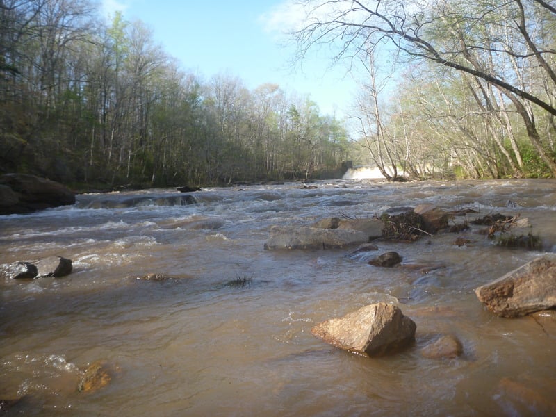
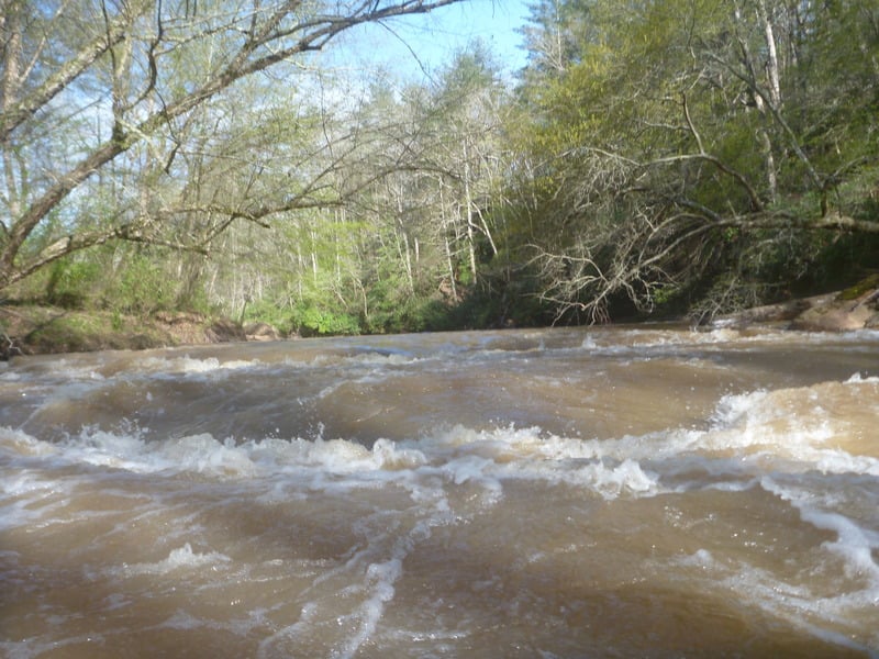
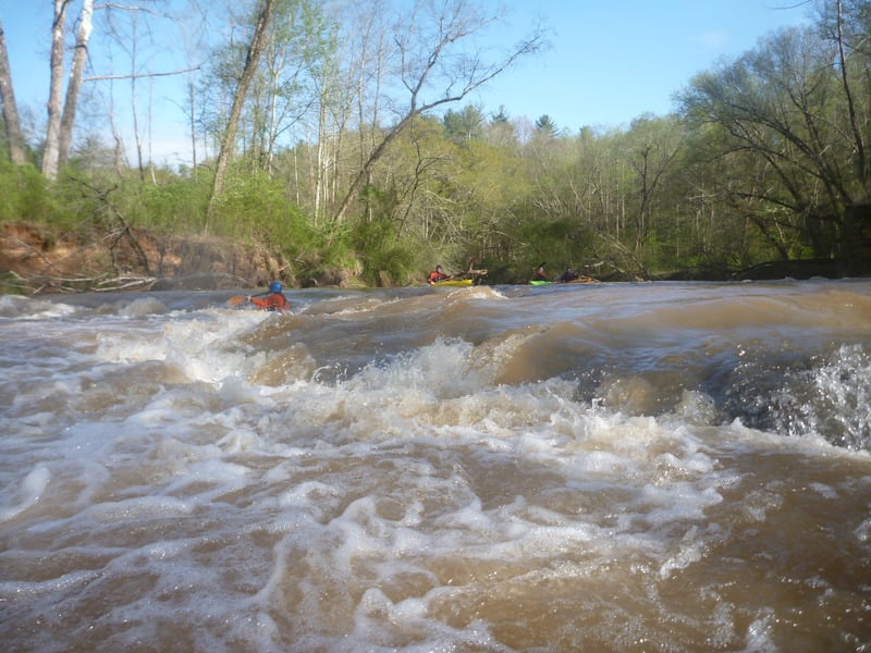
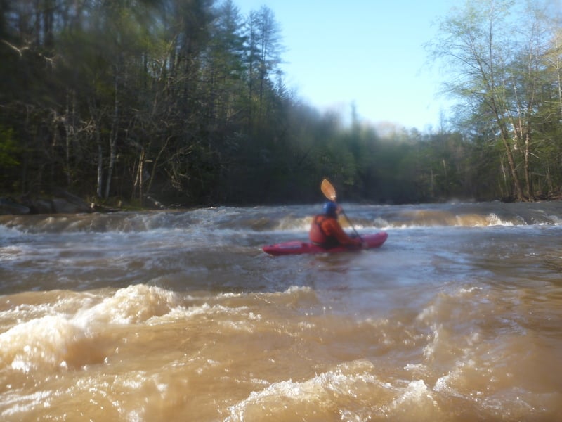
This river is extremely unique. It takes some time to fill up when the rains come, but seems to hold at around 600 cfs for a few days after significant rainfall. This river does merit some special notes about levels. First, 600 cfs when the water is rising seems to be drastically different than 600 cfs when the water is falling. This is likely due to that fact that the gauge is several miles upstream and several tributaries join below the gauge. That means you should know that going into this trip, your experience could be very different than the last time you were there. Study the flow charts and know when the river is rising or falling. Also, at levels above 1000 cfs, this river takes on a completely different life. Imagine the Ocoee being constricted into a 50 foot-wide walled gorge. Large wavetrains with massive downstream V’s makes you feel like you’re on the Gauley. Most holes wash out, but the big ones just get bigger. Be careful, but enjoy this big water feel that happens only a few times a year.
Rapids in this Run (25)
 Rapid
Rapid
Put-in 2
 Rapid
Rapid
put-in 3
 Rapid
Rapid
put-in 4
 Rapid
Rapid
put-in 5
 Rapid
Rapid
put-in 6
 Rapid
II+
Rapid
II+
Put-in / Paddle Snatcher
Rapid
Connie’s Bridge
 Rapid
II+
Rapid
II+
Connie's Rapid
 Rapid
II+
Rapid
II+
Slingshot
 Rapid
II+
Rapid
II+
Butt-Buster
Rapid
II
Boogie
 Rapid
II+
Rapid
II+
Split Decision Left
 Rapid
II+
Rapid
II+
Split Decision Right
 Rapid
II
Rapid
II
Boogie Two
 Rapid
III
Rapid
III
Mill Rapid, Left Line
 Rapid
III+
Rapid
III+
Mill Rapid, Right Line
 Rapid
III
Rapid
III
Scout Hut
 Rapid
III
Rapid
III
TKO Ledge / Keep Her Straight
 Rapid
II+
Rapid
II+
Surfing Waves
 Rapid
I
Rapid
I
Camp Creek Grotto
 Rapid
III+
Rapid
III+
Hornet's Nest / Geezer Beach
 Rapid
II+
Rapid
II+
Three Boulders
 Rapid
III
Rapid
III
Wave Train aka John's Tailbone
 Rapid
III
Rapid
III
Around the Corner formerly Woodsie II
Rapid
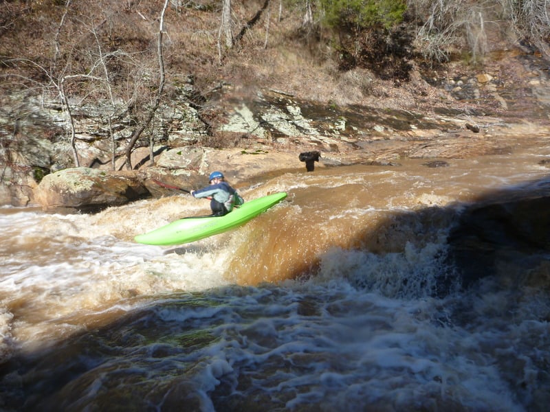
V+
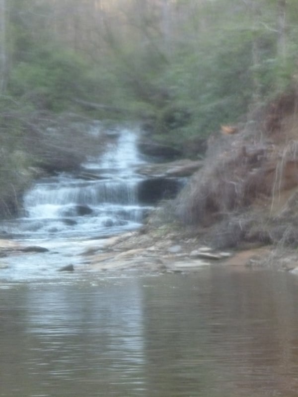
CBT falls
Playspots (3)
Difficulty
Class II-III(V+)
Length
1.9 mi
Gradient
56 ft/mi
Rapids
25
Access Points
Shuttle Info
**Directions from Clemson:** Follow College Ave. through the stoplight at 123 and go under the RR trestle, this is Hwy. 133. At the traffic light near Daniel High school, turn left towards Six Mile, this is still Hwy. 133. A couple more miles on 133 then directly across from Pleasant Hill Baptist Church turn right on Browning Road. Go till you intersect with Maw Bridge Road. Go straight across. This is Lay Bridge Road. The road narrows and winds down to the water. Park next to the iron bridge, this is the take out.
The put in is at the Highway 137 bridge. Continue on Lay Bridge Road to the end. Take a left on Highway 137, the bridge is at the bottom of the hill.
For park and play at the rodeo hole, carry up across the iron bridge, around the right side of the water intake, and follow the trail towards the dam. Takeout at the iron bridge.
Difficulty Classes
I Easy
II Novice
III Intermediate
IV Advanced
V Expert/Extreme
VI Unrunnable
Current Conditions
5-Day Forecast
Whitewater data from
American Whitewater
American Whitewater