Section 2 - Highway 28 Putin to Earl's Ford Wild
Gauge Conditions
Runnable: 1.0 – 5.0 FT
Data from American Whitewater & USGS
Run Map
Put-in
Take-out
Rapids/Hazards
Wild
Scenic
Recreational
Run Time Estimate
Select put-in and take-out to estimate time.
Plan This Trip
See wind-adjusted speed maps, forecast planning, and detailed time estimates.
Sign in to generate an AI timing estimate for this run.
Whitewater timing varies with scouting, portages, and group pace. Use as a planning baseline.
Description
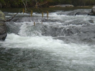
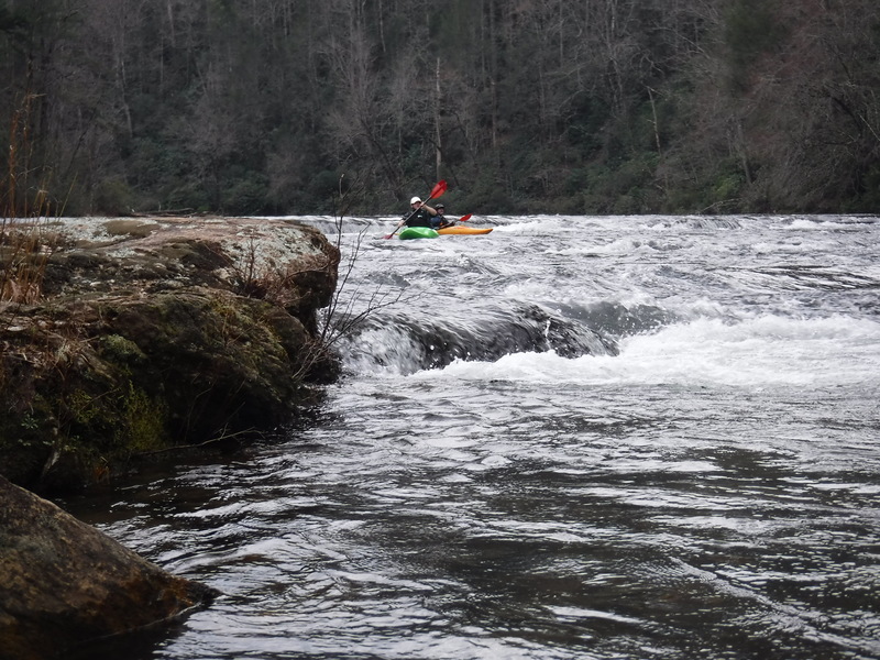
Section 2 is a scenic float trip with a handful of small ledges, rapids, and shallow shoals separated by long sections of deep flatwater. At moderate levels the run is class II+ with no significant objective hazards except perhaps the occasional tree. The run starts at an official put-in a mile or so downstream of the Highway 28 bridge, and Earls Ford is the typical take-out (River left). There are also a number of possible put ins on the West Fork upstream that add a nice addition to the run if the water is high or you want to make it a 2-day trip. There are quite a few nice campsite options on riverside benches in the middle part of the run, but few beaches. It is worth getting a trail map to pick a campsite away from trail access. 1.8 feet is a reasonable minimum for rafts.
Rapids in this Run (1)
Playspots (1)
Difficulty
Class II
Length
6.1 mi
Rapids
1
Access Points
Difficulty Classes
I Easy
II Novice
III Intermediate
IV Advanced
V Expert/Extreme
VI Unrunnable
Current Conditions
5-Day Forecast
Whitewater data from
American Whitewater
American Whitewater