Section 5. Whittier to Bryson City
Gauge Conditions
Runnable: 1,000.0 – 6,000.0 CFS
Data from American Whitewater & USGS
Run Map
Run Time Estimate
Select put-in and take-out to estimate time.
Plan This Trip
See wind-adjusted speed maps, forecast planning, and detailed time estimates.
Sign in to generate an AI timing estimate for this run.
Whitewater timing varies with scouting, portages, and group pace. Use as a planning baseline.
Description
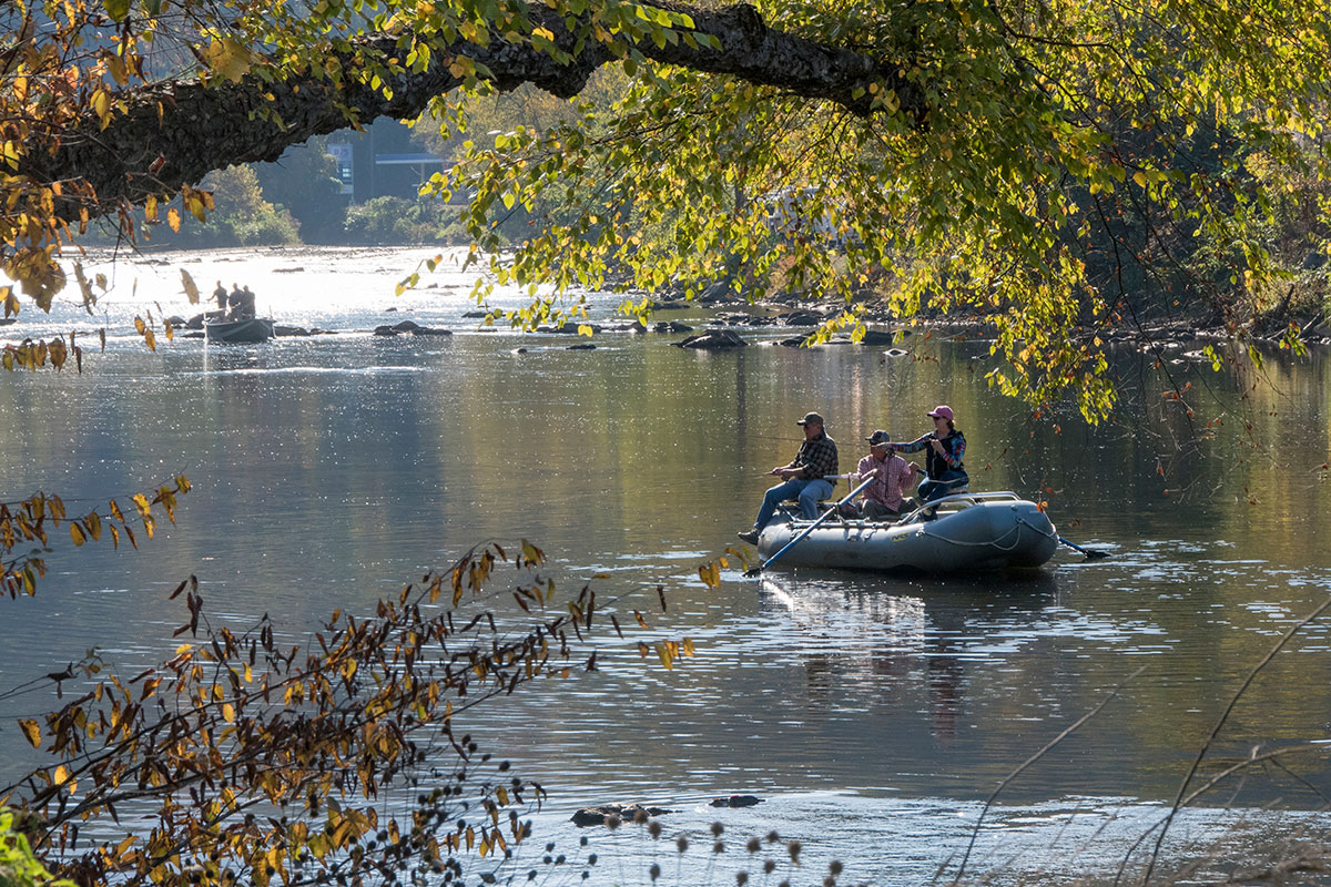
Duke Energy constructed a new river access location upstream of the Whittier Post Office. Downstream of Whittier the river widens and becomes shallow at flows below 1500cfs. About a mile upstream of the confluence of the Oconaluftee the Tuck flows through a rock band that looks similar to the bedrock ledge at the old Dillsboro Dam site. At levels above 1500cfs the rapid formed by the ledge can be significant (class III+) and scouted on river right. Below the confluence of the Oconaluftee the river mellows and widens. There are many old cars stacked on the river bank, part of a 1960s era effort to stabilize the river channel. As the river enters Bryson City, Devils Dip rapid signals the takeout location at Island Park on river right (also a popular picnic area just upstream of the confluence with Deep Creek).
ALERT: Didymosphenia geminate, a slimey invasive algae known as rock snot, was found in the Tuck in 2016. Please rinse all mud and sand off your boat and gear before leaving the Tuck, and clean, drain, and dry your stuff before heading to the next river. It is our responsibility to avoid transporting this damaging algae to other rivers to protect the native aquatic species.
Rapids in this Run (1)
Difficulty
Class I-III
Length
7.9 mi
Rapids
1
Access Points
Difficulty Classes
I Easy
II Novice
III Intermediate
IV Advanced
V Expert/Extreme
VI Unrunnable
Current Conditions
5-Day Forecast
Whitewater data from
American Whitewater
American Whitewater