Shackleford Trailhead to Shackleford Falls
Gauge Conditions
Runnable: ? – ? CFS
Approximate reading: This gauge is 5.7 miles away on Shackleford Creek. Use as a general reference only.
Data from American Whitewater & USGS
Run Map
Interactive run map
Loads as you approach this section.
Run Time Estimate
Select put-in and take-out to estimate time.
Plan This Trip
See wind-adjusted speed maps, forecast planning, and detailed time estimates.
Sign in to generate an AI timing estimate for this run.
Whitewater timing varies with scouting, portages, and group pace. Use as a planning baseline.
Description
'A mean little creek.'
Shackleford Creek drains the west side of the Salmon Mountains and flows through a chunky gorge of decomposed granite and metasedimenatary rock as it descends from of the Marble Mountain Wilderness Area to the Quartz Valley, and arm of the Scott Valley.
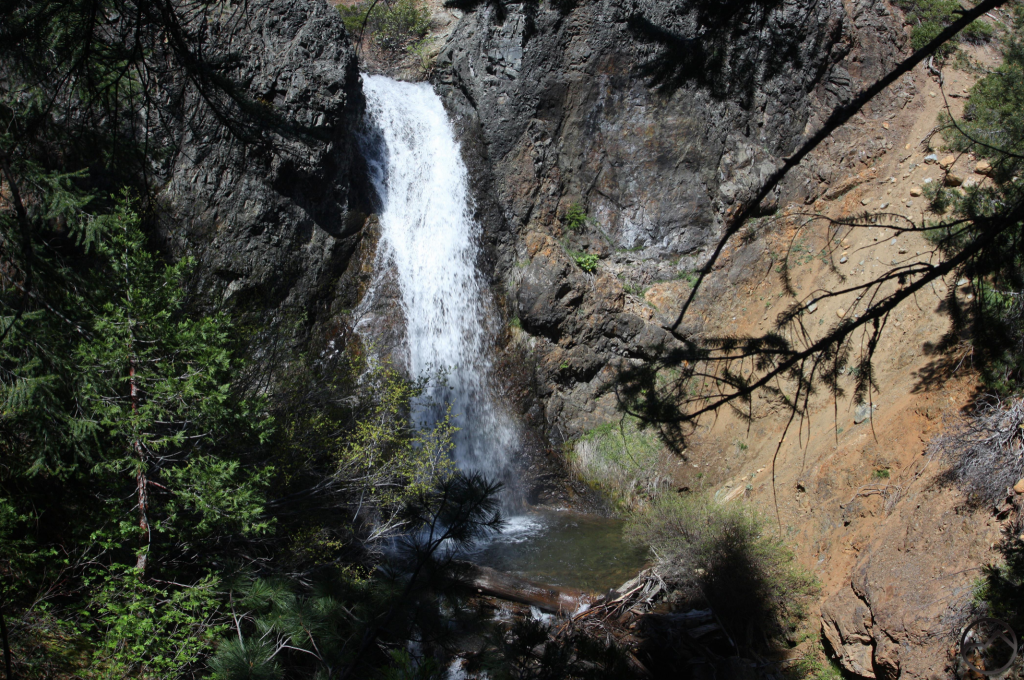
This creek hasn't been run much since the early 00s, but the namesake waterfall at the bottom has gotten more attention than the full run. Sadly, the falls was the site of a kayaker fatality in 2003 and another fatality in 2022 that did not involve boating.
The only guidebook for this run is Dan Menten's 2016 classic, _The New School Guide to Northern California Whitewater_ (p. 56).
Waterfalls (1)
Difficulty
Class V
Length
5.2 mi
Rapids
0
Access Points
Difficulty Classes
I Easy
II Novice
III Intermediate
IV Advanced
V Expert/Extreme
VI Unrunnable
Current Conditions
5-Day Forecast
Whitewater data from
American Whitewater
American Whitewater