Shawan Falls Dr. to Riverside Drive (Scioto River) Access Issues*
Gauge Conditions
Runnable: ? – ? CFS
Approximate reading: This gauge is 3.0 miles away on Indian Run. Use as a general reference only.
Data from American Whitewater & USGS
Run Map
Run Time Estimate
Select put-in and take-out to estimate time.
Plan This Trip
See wind-adjusted speed maps, forecast planning, and detailed time estimates.
Sign in to generate an AI timing estimate for this run.
Whitewater timing varies with scouting, portages, and group pace. Use as a planning baseline.
Description
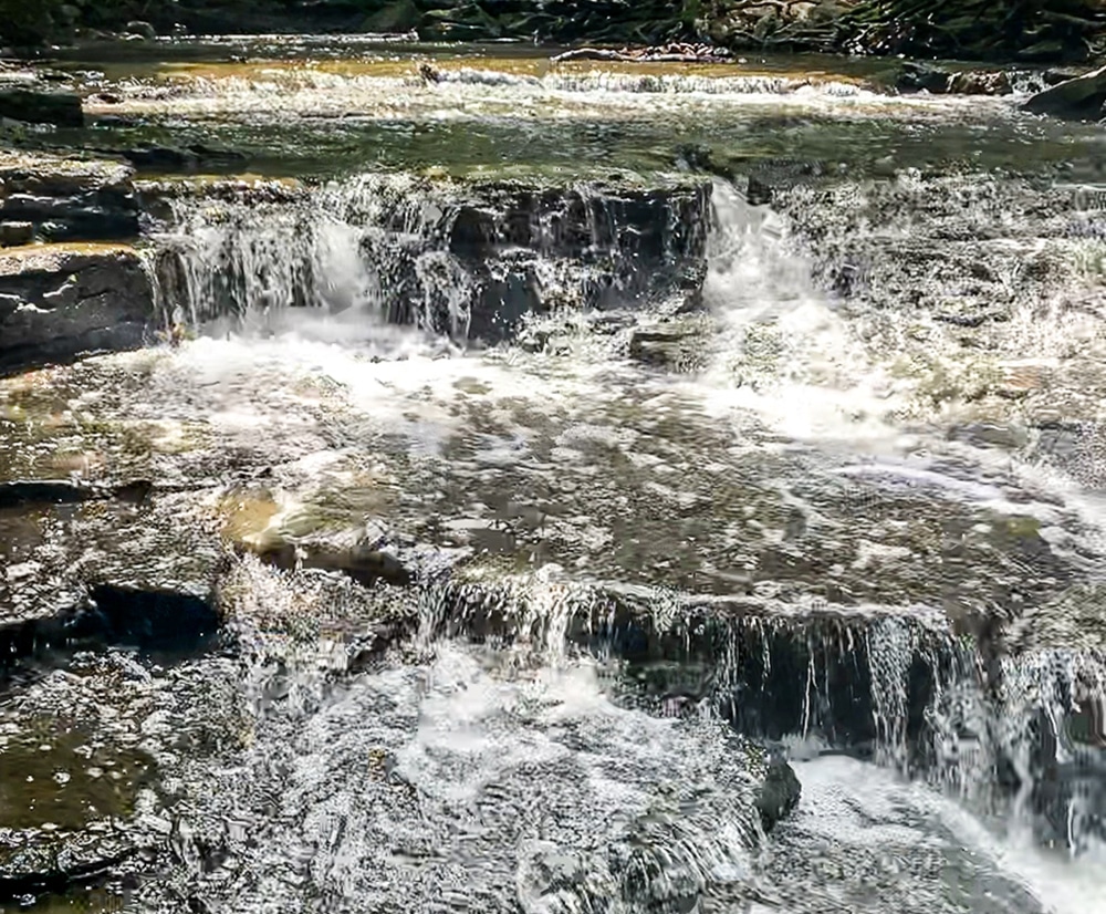
Indian Run requires a huge rainstorm and then it will flash flood and start raging with incredible force. Otherwise it is a trickle or even dry. The city park forbids kayaking (but not canoes or rafts?) so you would want to get access somehow above the small park and not get off inside the park. This means you want to scout the run on foot before you paddle to make sure it is free of strainers and to pick the lines on the big drops. This is Ohio but the big falls on Indian Run are BIG and they would mess you up if you did them wrong. Don’t play on this little creek gem if your not an excellent boater.
Waterfalls (2)
Hazards & Portages (2)
Caution: The following locations may require scouting or portaging. Always check current conditions.
Difficulty
Class III-V
Length
0.7 mi
Gradient
120 ft/mi
Rapids
0
2 Hazards
Access Points
Difficulty Classes
I Easy
II Novice
III Intermediate
IV Advanced
V Expert/Extreme
VI Unrunnable
Current Conditions
5-Day Forecast
Whitewater data from
American Whitewater
American Whitewater