Siloam Springs Whitewater Recreational Park
Gauge Conditions
Runnable: 2.4 – 5.0 FT
Data from American Whitewater & USGS
Run Map
Interactive run map
Loads as you approach this section.
Run Time Estimate
Select put-in and take-out to estimate time.
Plan This Trip
See wind-adjusted speed maps, forecast planning, and detailed time estimates.
Sign in to generate an AI timing estimate for this run.
Whitewater timing varies with scouting, portages, and group pace. Use as a planning baseline.
Description
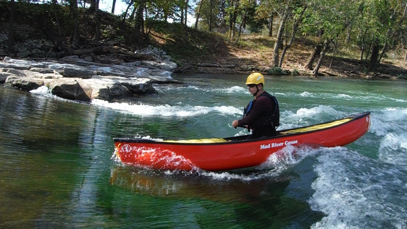
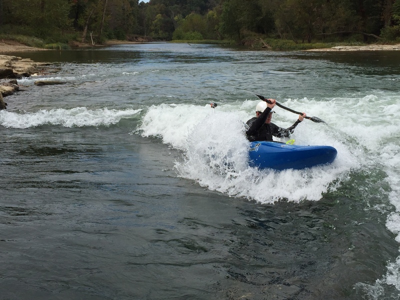
New enhancements to create the Siloam Springs Whitewater Park for 2014. A park with two main whitewater river wave features, parking and other ammenities.
Thanks to the City of Siloam Springs for acquiring the property and developing the park and access for river users.
The whitewater features should see boatable flows year round.
Park development is still ongoing, please see the following thread on the Arkansas Canoe Club messageboard for access updates:
http://forums.arkansascanoeclub.com/viewtopic.php?f=1&t=25257
Rapids in this Run (2)
Difficulty
Class II
Length
0.2 mi
Gradient
5 ft/mi
Rapids
2
Access Points
Difficulty Classes
I Easy
II Novice
III Intermediate
IV Advanced
V Expert/Extreme
VI Unrunnable
Current Conditions
5-Day Forecast
Whitewater data from
American Whitewater
American Whitewater