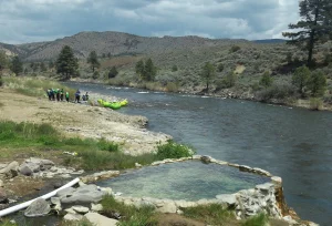
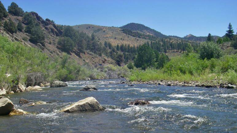
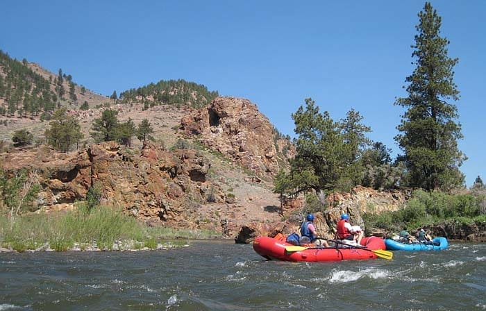
Silver Saddle Ranch to Santa Maria Ranch
Gauge Conditions
Runnable: 500.0 – 3,000.0 CFS
Data from American Whitewater & USGS
Run Map
Run Time Estimate
Select put-in and take-out to estimate time.
Plan This Trip
See wind-adjusted speed maps, forecast planning, and detailed time estimates.
Sign in to generate an AI timing estimate for this run.
Whitewater timing varies with scouting, portages, and group pace. Use as a planning baseline.
Description
This scenic section of river has multiple access points, several class 2 rapids and one class 3 rapid. Most of the river is bordered by private property, but there are a number of public parks and some sections of BLM land.
Getting There: This section is just to the east of Carson City.
Carson River Aquatic Trail Map
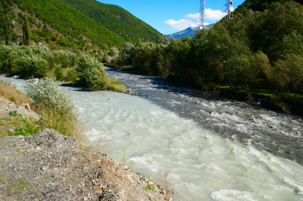
Other areas of the Carson River near Carson City, Dayton and Fort Churchill State Historic Park also offer kayaking and rafting. Be sure to scout a route and exercise caution.
Rapids in this Run (4)

Hazards & Portages (1)
Caution: The following locations may require scouting or portaging. Always check current conditions.
Difficulty
Class II(III)
Length
14.5 mi
Gradient
16 ft/mi
Rapids
4
1 Hazard
Access Points
Difficulty Classes
I Easy
II Novice
III Intermediate
IV Advanced
V Expert/Extreme
VI Unrunnable
Current Conditions
5-Day Forecast
Whitewater data from
American Whitewater
American Whitewater