Singing Waters Campground to McKeever
Gauge Conditions
Runnable: 3.0 – 8.0 FT
Data from American Whitewater & USGS
Run Map
Interactive run map
Loads as you approach this section.
Run Time Estimate
Select put-in and take-out to estimate time.
Plan This Trip
See wind-adjusted speed maps, forecast planning, and detailed time estimates.
Sign in to generate an AI timing estimate for this run.
Whitewater timing varies with scouting, portages, and group pace. Use as a planning baseline.
Description
The put-in for this, the first of four regularly run whitewater sections on the Moose River can be found on Route 28 just south of HTR (formerly Singing Waters) Campground where the river is visible from the road.
There is another put-in just to the north of Singing Waters on Scusa Road, please be respectful as the fishing access is on private property.
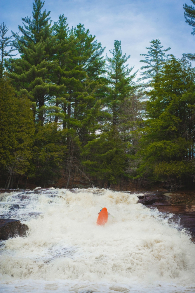
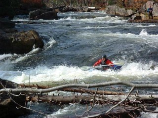
This section of river is primarily a class II and fast moving water run. At low levels it is a scrape and rub rock garden. There is one named rapid, Nelson's Falls that is considered a class IV. Nelson's is a fun 3 drop rapid with some undercuts and is often the site of big strainers!
An alternate take-out, is on river right, just before the Route 28 bridge at a fishing access.
See Also:
- Moose River, McKeever to Iron Bridge
- Moose River, Lower, Iron Bridge to Fowlersville Falls
- Moose River, Bottom, Fowlersville Falls to Lyons Falls
'I would not suggest this section is suitable for beginners but at even 3.0 ft to 3.5 it is a fun stretch to play and practice river reading skills.'
\- kathy corey 2001-11-26
Tug Hill - Old Forge Area Reaches
Beaver (1. Moshier) Beaver (2. Eagle) Beaver (3. Taylorville)
Black (1.) Black (2.) Black (3.)
Black (4.) Black (5.) Black, S. Branch
Cincinnati Creek Crystal Creek Deer River (Section 1)
Deer River (Section 2) Fish Creek, E. Branch Independence River (1. Upper)
Independence River (2. Main) Indian (S.Br. Moose trib.) Little Black Creek
Little Woodhull Creek Mad River Mill Creek
Mohawk (1.) Moose (1. Middle) Moose (2. Lower)
Moose (3. Bottom) Moose, Middle Branch Moose, S. Branch (1.)
Moose, S. Branch (2.) Negro Brook Otter Creek
Roaring Brook (Brokeback Gorge) West Canada Creek (1.) West Canada Creek (2. Ohio Gorge)
West Canada Creek, S. Branch Woodhull Creek (Upper) Woodhull Creek (Middle)
Woodhull Creek (Miracle Mile)
Google Map of New York Whitewater
New York Whitewater Paddlers Facebook Group
Rapids in this Run (2)
Waterfalls (1)
Hazards & Portages (2)
Caution: The following locations may require scouting or portaging. Always check current conditions.
Difficulty
Class II-IV
Length
5.6 mi
Rapids
2
2 Hazards
Access Points
Difficulty Classes
I Easy
II Novice
III Intermediate
IV Advanced
V Expert/Extreme
VI Unrunnable
Current Conditions
5-Day Forecast
Whitewater data from
American Whitewater
American Whitewater