Spruce Mountain to New Bridge
Gauge Conditions
Runnable: 600.0 – 3,000.0 CFS
These are a rough estimate and may not actually represent the minimum and maximum flows needed.
Data from American Whitewater & USGS
Run Map
Interactive run map
Loads as you approach this section.
Run Time Estimate
Select put-in and take-out to estimate time.
Plan This Trip
See wind-adjusted speed maps, forecast planning, and detailed time estimates.
Sign in to generate an AI timing estimate for this run.
Whitewater timing varies with scouting, portages, and group pace. Use as a planning baseline.
Description
This is a very scenic section of the Grass river and is a great place to enjoy the natural beauty of the Grass river. Perfect for intermediate kayakers and open boaters, who want to be work on their skills before moving to the larger sections the Grass has to offer.
Canton - Cranberry Lake Area Reaches
Boland Creek Elm Creek
Grass (1. Lampsons Falls to Downerville) Grass (2. Downerville to Russell)
Grass (3. Morley to Massena)Grass (4.Woods Bridge Road to Route 47)
Grass, Middle BranchGrass, North Branch
Grass, Upper South BranchGrass, Lower South Branch (Twin Falls)
Oswegatchie, E. Branch (2.)Oswegatchie, E. Branch (3.)
Oswegatchie, W. BranchPlumb Brook
Google Map of New York Whitewater
New York Whitewater Paddlers Facebook Group
Rapids in this Run (2)
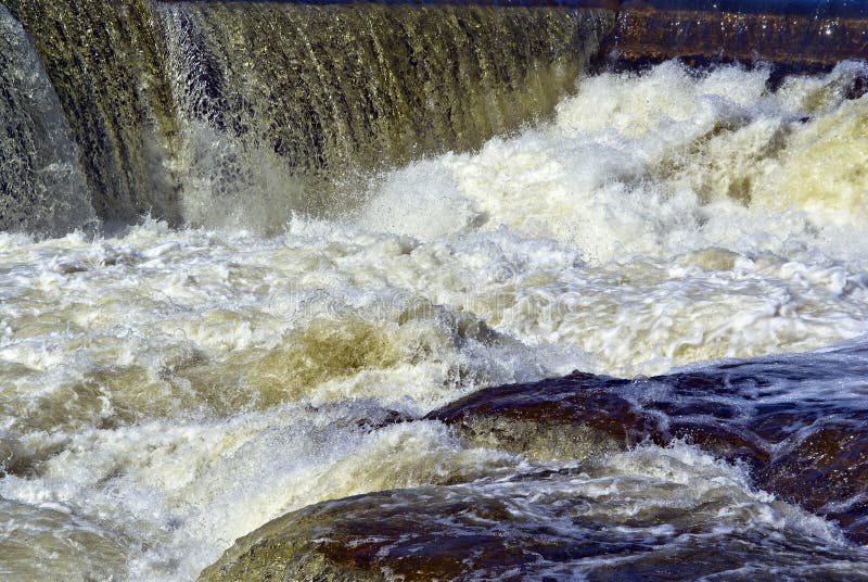
Waterfalls (1)
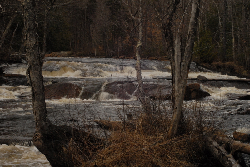
Hazards & Portages (1)
Caution: The following locations may require scouting or portaging. Always check current conditions.
Difficulty
Class II-III(V)
Length
1.8 mi
Gradient
25 ft/mi
max 60
Rapids
2
1 Portage
Access Points
Shuttle Info
**Directions**
**Take Out:** Newbridge- While driving along Toole Pond road you will continue past the Twin Falls section, until you come up to a small green bridge which will idenity the take out. The river will be change from your right side to the left side for the rest of Toole Pond road.
**Put-in:** After Newbridge continue up the road for about a mile, turn left on Spruce Mountain Road, which is a DEC gated road. Follow Spruce Mountain Road another mile till it stops at the bridge crossing the South Branch. The gate may be closed during spring and late fall due to conditions. It may be best to call the Potsdam DEC office and ask first.
**From Watertown** take the Ft Drum/RT 342 exit off I-81. Drive Past Ft. Drum on 342 to Rt 3. Turn Left (NE) on RT 3 and go 14mi past Harrisville.
**From Harrisville** drive 14 miles to County Rd 27A (2.2 mi past Fine & County Rd 58). Turn Left (N) on County Rd 27A. (You cross the East Branch of the Oswegatchie just after you make the turn on to 27A.) After 3/4mi on 27A you intersect County Rd 27, turn right (N) on CR 27 which takes you to Degrasse. Turn R. at the Intersection in Degrasse and cross the bridge. This is the take out. Check the visual gauge and scout the last rapid from the bridge.
**From I-90 Albany/Utica** take RT 12 in Utica N. to Lowville. Take 812 from Lowville which intersects RT 3 just S. of Harrisville. (Follow directions above from Harrisville.)
**From Canada** drive to Canton, NY. Take 68 SE (7.9mi) to Pierrepont and turn right (SW)on County RD 24. Take CR 24 for 5.5mi to CR 27 and turn left(S). Drive 9.75mi S. on CR 27 to Degrasse and the take out bridge. Check the visual gauge and scout the last rapid from the bridge.
Difficulty Classes
I Easy
II Novice
III Intermediate
IV Advanced
V Expert/Extreme
VI Unrunnable
Current Conditions
5-Day Forecast
Whitewater data from
American Whitewater
American Whitewater