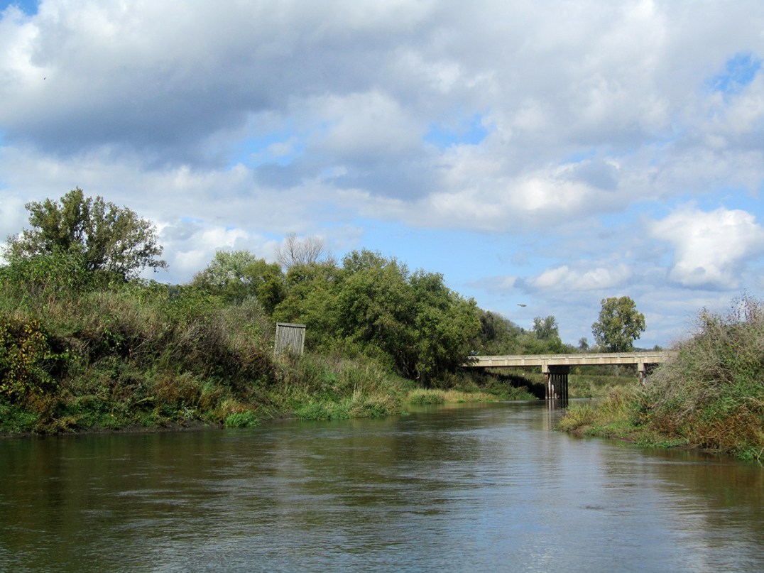
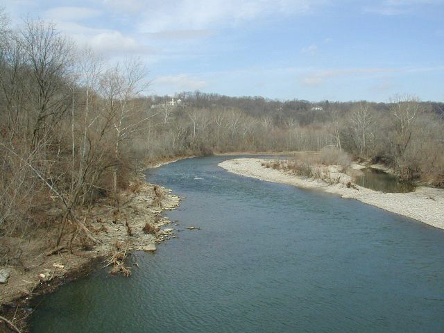
St Route 343 to Little Miami at Jacoby Rd. **Access Restricted**
Gauge Conditions
Runnable: ? – ? CFS
Approximate reading: This gauge is 5.0 miles away on Birch Creek. Use as a general reference only.
Data from American Whitewater & USGS
Run Map
Run Time Estimate
Select put-in and take-out to estimate time.
Plan This Trip
See wind-adjusted speed maps, forecast planning, and detailed time estimates.
Sign in to generate an AI timing estimate for this run.
Whitewater timing varies with scouting, portages, and group pace. Use as a planning baseline.
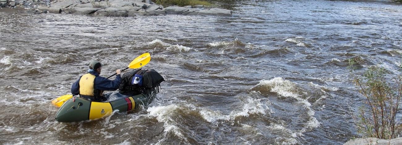
Description
Birch Creek is a small (and unfortunately restricted) creek in SW Ohio through Glen Helen Park. The university restricts access to hiking only. You can access the river from outside the Park, but expect to run into trouble if you try to boat it. Is it possible that one day things will change? Yes. Right now it is unlikely.
The river has several waterfalls and sliding ledges. The main falls is boatable but does land on rocks. It would be painful if you land badly, but there are far worse drops out there that get boated. The takeout is on the Little Miami below Clifton Gorge.
Rapids in this Run (5)
Playspots (1)
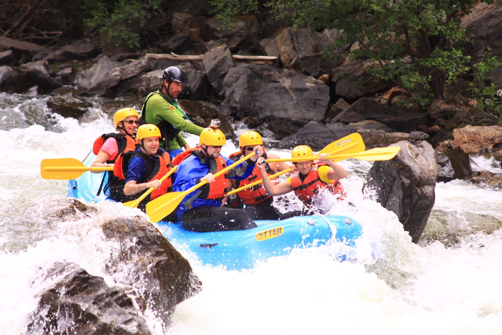
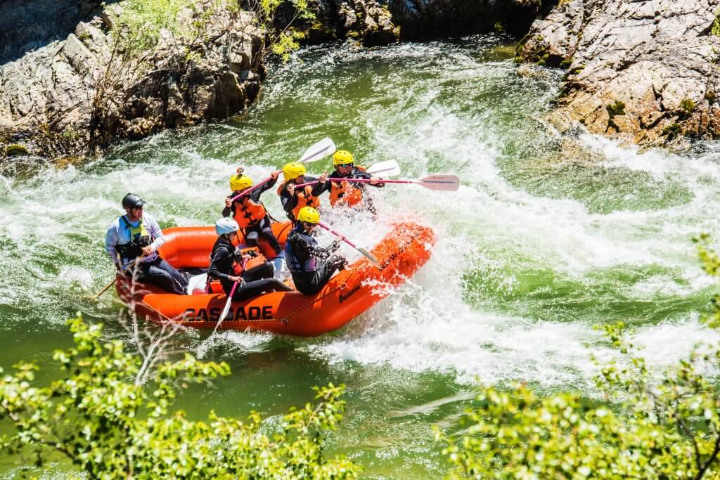
Difficulty
Class II-III+(IV)
Length
4.0 mi
Gradient
20 ft/mi
max 100
Rapids
5
Access Points
Difficulty Classes
I Easy
II Novice
III Intermediate
IV Advanced
V Expert/Extreme
VI Unrunnable
Permit Required
This is closed for now by the college.
Current Conditions
5-Day Forecast
Whitewater data from
American Whitewater
American Whitewater