Starkey Ball Fields to Franklin Road (Hwy.220)
Gauge Conditions
Runnable: 190.0 – 5,000.0 CFS
Upper limit for best boatability uncertain. Please help your fellow boaters with a comment or report.
Data from American Whitewater & USGS
Run Map
Run Time Estimate
Select put-in and take-out to estimate time.
Plan This Trip
See wind-adjusted speed maps, forecast planning, and detailed time estimates.
Sign in to generate an AI timing estimate for this run.
Whitewater timing varies with scouting, portages, and group pace. Use as a planning baseline.
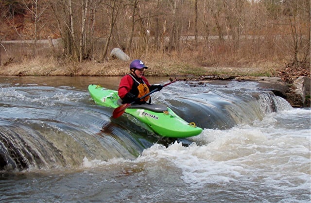
Description
An anonymous tipster provides:
_Fun run for those looking to see what a creek run is like. Runoff is primarily from new neighborhood developments and a large farm with HUGE manure pile on the banks of Back Creek. Wear nose plugs!_
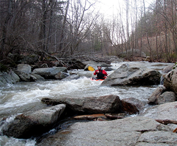
Jimmy Thomas provides:
_We ran this at a level of 190 cfs (~4'). Its a fun run, but I would not do it much lower. We started at Starkey Park soccer fields and went to Red Hill Baptist Church on Rt. 220. (If you park and take out at the church, please ask permission if there is anyone there and let them know you are kayaking.) We portaged one rapid in the first half with about a 4 foot drop, because the landing was a bit too shallow at this water level. Also portaged a dam drop further downstream. Both of these would likely be runnable with more water. Only one tree down in this section, that can be squeezed under or easily portaged._
_Ran again on 4-3-09 at 475 cfs (~5'). Great level, no scraping and everything was runnable._
See Also:
_Exploring Virginia's Waterways_, Ed Gertler (2022 ed.), p. 252.
Rapids in this Run (5)
Difficulty
Class I-III
Length
6.6 mi
Gradient
25 ft/mi
Rapids
5
Access Points
Difficulty Classes
I Easy
II Novice
III Intermediate
IV Advanced
V Expert/Extreme
VI Unrunnable
Current Conditions
5-Day Forecast
Whitewater data from
American Whitewater
American Whitewater