Stottville to Kinderhook Creek
Gauge Conditions
Runnable: 3.5 – 9.0 FT
No real upper limit exists, use best judgement
Data from American Whitewater & USGS
Run Map
Interactive run map
Loads as you approach this section.
Description
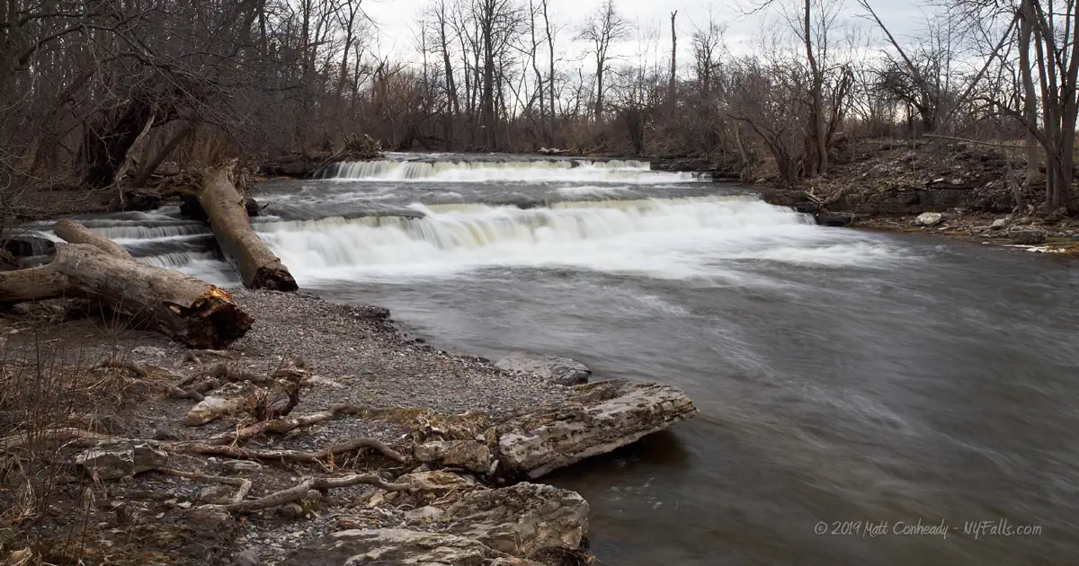
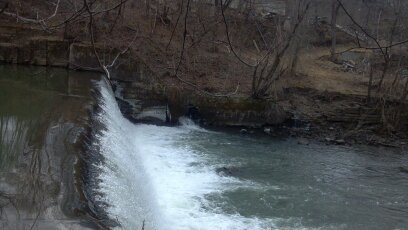
A tributary to Kinderhook Creek, this short run can be a park and huck, or river run depending on where you put in. All drops can be easily lapped or portaged, rapids are scenic read and run I-II.
Video from New Years Falls
Other Local Runs:
Kinderhook Creek Section 1
Kinderhook Creek Section 2
Kinderhook Creek Section 3
Stony Kill
Claverack Creek
Roeliff Jensen Kill
Capital Region Area Reaches
Basic Creek Batten Kill Claverack Creek
Cobleskill Creek Fox Creek Hannacrois Creek
Hoosic Hudson (Lock 2) Kinderhook Creek (1.)
Kinderhook Creek (2.) Kinderhook Creek (3.) Kline Kill
Normans Kill (1.) Normans Kill (2.) North Chuctanunda Creek
Mohawk (Upper Cohoes Wave) Mohawk (Cohoes Wave) Poesten Kill (0.)
Poesten Kill (1.) Poesten Kill (2.) Quacken Kill
Schoharie Creek Stony Kill Wyant's Kill
Catskills Area Reaches
Basic CreekBatavia Kill Bear Kill
Beaver Kill (Delaware Trib)Beaver Kill (Hudson Trib) Beer Kill
Beer Kill, W. BranchBowery Creek Bush Kill
Callicoon Creek, E. BranchCallicoon Creek, N. Branch Catskill Creek (1.)
Catskill Creek (2.)Catskill Creek (4.) Claverack Creek
Coxing KillDelaware Delaware, E. Branch
Delaware, W. BranchLittle Delaware Dry Brook
East KillEsopus Creek (1) Esopus Creek (2)
Esopus Creek (3)Esopus Creek (4) Esopus Creek (5)
Hannacrois CreekKaaterskill Creek (1.) Kaaterskill Creek (2.)
Kinderhook Creek (3.)Kiskatom Creek Mombaccus Creek
Mill BrookNeversink (1.) Neversink, E. Branch
Neversink, W. BranchPeters Kill Platte Kill
Plattekill CreekPotic Creek Roeliff Jansen Kill (1)
Roeliff Jansen Kill (2)Rochester Creek Rondout Creek (1)
Rondout Creek (2)Rondout Creek (3) Sandburg Creek
Saw Kill (1)Saw Kill (2) Saw Kill (3)
Schoharie Creek (1.)Schoharie Creek (2.) Shingle Kill Creek
Squirmer CreekStony Clove Creek Ten Mile Creek
Thorp CreekTremper Kill Wallkill
West KillWoodland Creek Vly Creek
Google Map of New York Whitewater
New York Whitewater Paddlers Facebook Group
Hazards & Portages (2)
Caution: The following locations may require scouting or portaging. Always check current conditions.
Difficulty
Class I-II+(IV)
Length
3.6 mi
Rapids
0
2 Hazards
Access Points
Difficulty Classes
I Easy
II Novice
III Intermediate
IV Advanced
V Expert/Extreme
VI Unrunnable
Current Conditions
5-Day Forecast
Whitewater data from
American Whitewater
American Whitewater