Sunol to Niles Junction near Fremont
Gauge Conditions
Runnable: 400.0 – 1,000.0 CFS
Data from American Whitewater & USGS
CDEC Flow Data California
Data from California Data Exchange Center (CDEC)
Run Map
Run Time Estimate
Select put-in and take-out to estimate time.
Plan This Trip
See wind-adjusted speed maps, forecast planning, and detailed time estimates.
Sign in to generate an AI timing estimate for this run.
Whitewater timing varies with scouting, portages, and group pace. Use as a planning baseline.
Description
A little backyard run for the Bay Area dweller. Perfect beginner run or enough to satiate those more experienced river folk who only have half a day and no patience to drive. Alameda Creek is a short but swift Class II/I trip that'll take about an hour and a half with a short lunch break.
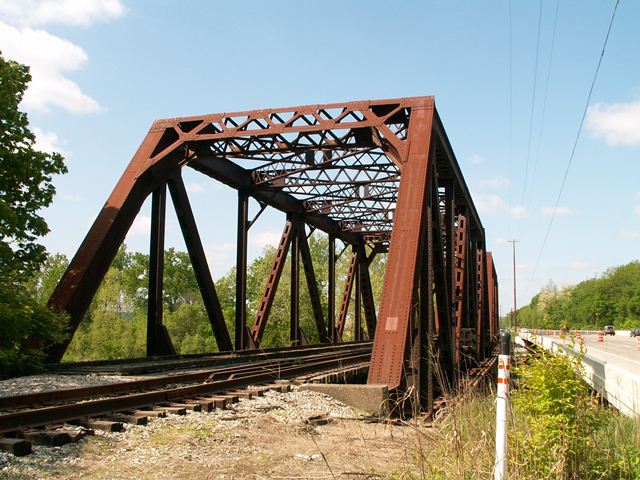
Running it around 474cfs a day after some rain made for several fun and narrow wave trains and only two limbo-under-branch situations. The two or three diversion dams were easy spillovers with no real suction danger at this level, in our opinion. The first makes for a fun little Class II shoot under the 84 bridge, though the second one sneaks up on you a bit. However it should be noted these dams have created scary swims for people in the past, so be aware.
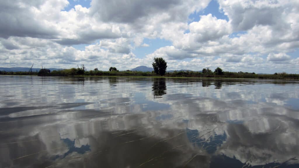
Water was brisk and predictably muddy, but not smelly, as the somewhat urban environs would have you believe. Despite its proximity to the sprawl of SF/Oakland, the river offered up some nice views of the hills, with mallards, great blue herons, common and red-breasted mergansers, and a kingfisher. Poison oak was common along the banks, but it seemed easy to eddy out or find respite on the shore between patches, if need be.
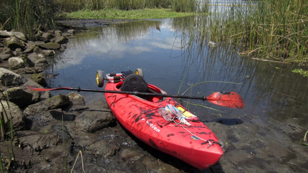
We also put in maybe 0.5-1.0 mile downstream of the put in listed here, since since it looked a bit too brushy and parking/access looked questionable. We parked on the westbound side of 84/Niles Canyon Road where several cars were parked (graffiti artists, from what I could tell, since no one else was on the river) and quickly found a reasonable but not ideal spot to launch. Take out was super easy at Nile Staging Area. Shuttling with two cars is easy, taking a Lyft/Uber would also be quick and cheap. Apparently hitching/biking on this section of road isn't the safest though. Best self shuttle option is to walk up the trails from the Niles Staging Area and put-in wherever.
Paddlers can do periodic brush snipping to make passage easier.
Put-in: Finding a legal place to park to access the creek near Sunol seems to be the problem. Most wide spots along Niles Canyon Road have 'No Parking' signs. It may be legal to stop and unload as long as the driver does not get out of the car. There is public parking two miles upstream of Sunol at the Pleasant Ridge natural area.
Take out: Niles Staging Area has 10 parking spots, one or more porta potties and a drinking fountain. From the intersection of Mission Blvd and Niles Canyon Rd travel east on Niles Canyon for 200 yards then turn right onto Old Canyon Rd. After a quarter mile turn left into Niles Staging Area.
There is a public trail that traverses both sides of the creek in Niles and a few other places to park and take out from the creek.
Other Information Sources:
- California Creeks
- Wikipedia
- Alameda Creek Alliance
- East Bay Parks: Alameda Trail
- Sediment Proposal
- Alameda County Water District
Rapids in this Run (3)
Difficulty
Class III
Length
5.0 mi
Gradient
21 ft/mi
Rapids
3
Access Points
Difficulty Classes
I Easy
II Novice
III Intermediate
IV Advanced
V Expert/Extreme
VI Unrunnable
Current Conditions
5-Day Forecast
Whitewater data from
American Whitewater
American Whitewater