Thurlow Dam to boat ramp
Gauge Conditions
Runnable: 2.0 – 10.0 FT
Data from American Whitewater & USGS
Run Map
Description
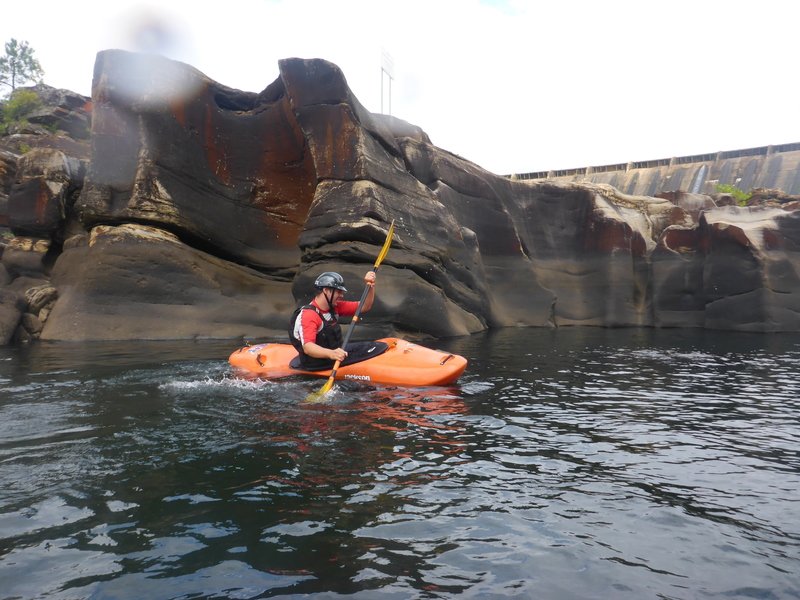
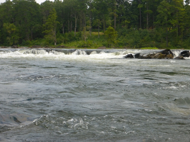
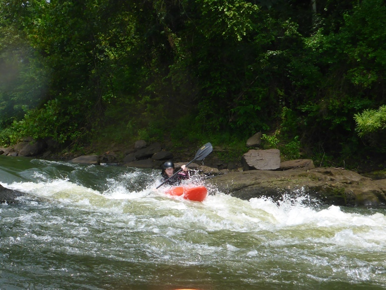
The Tallapoosa is a short, dam-release whitewater river. The put in resembles a lake and some boaters have mistaken it as the wrong river. The takeout is a public boat ramp below the Falls. The river was once similar to Great Falls of the Potomac but now most of the gradient is under a lake. Portions of the Class V+ at the base of Thurlow Dam (as well as the dam) have been run.
This is one of the few Alabama rivers that is runnable all year long. Alabama power maintains a minimum flow of 1270 cfs (1 turbine on Thurlow Dam), which makes for a technical, but doable run. If you run the Falls at this level your main option is boofing 'The Finger.' Half the art and science of catching bigger water runs on Tallapoosa can be figured out by watching for releases on Yates Dam, which is just upstream of Thurlow. A one turbine release on Yates (for more than 1 hour) = 5,000 cfs+ (or more) on Tallapoosa. Two turbines on Yates (for more than 1 hour) = 10,000 cfs+ on Tallapoosa. Alabama power changes the schedule daily, so it's best to check both Yates and Thurlow before you head out: https://apcshorelines.com/our-lakes/
River Levels
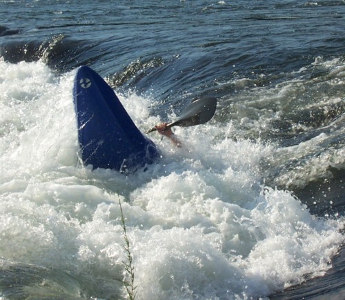
1277 cfs. - Scrapy, not a lot of play. Falls are still fun, but use caution. Good, forgiving level for beginners.
5000-7000 cfs - Some play spots develop. Good for intermediate level paddlers
10000 cfs - Big holes and wave trains develop. Play spots start to get good. Having a reliable roll, good ferrying skills and the ability to read water is a must at this level and up.
11000-13000 cfs - Excellent play spots and surf waves.
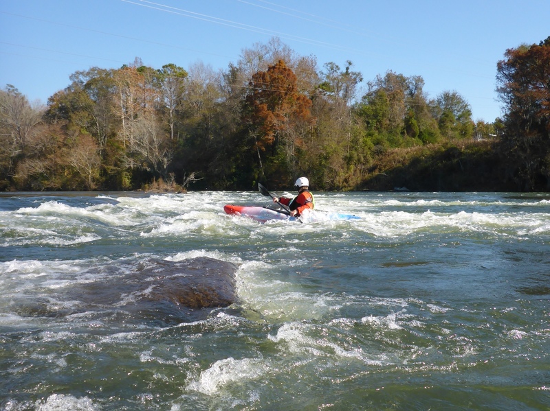
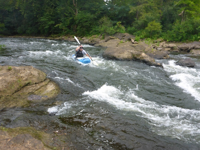
The Tallapoosa starts off as flat water and quickly hits the fall line. The river has numerous good play spots that are playable at various water levels. Most of the Tallapoosa is an easy class II+ run on a big open river. About ¼ mile from the dam look for Sticky Hole on the left 1/3 of the river. If you get stuck in one of the large holes above the falls and swim it would be very bad. After the waves let up for about 200 yards look for Big O a wave/hole near the right bank.
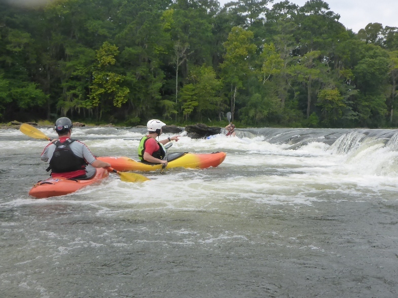
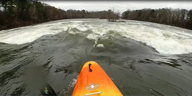
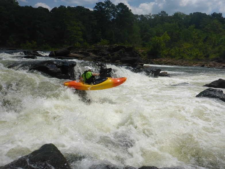
The major point of difficulty is Tallapoosa Falls or the Falls. After a ride or two at Big O work left around the first island or ferry right and get ready for the falls. There are good lines at the falls on the right of the second island and at the river right. Avoid the middle at all costs unless you really know where you are going. If you run the falls on the right, carry plenty of speed. Below the falls at 12,500 cfs and up you may find the Bionic Wave. The Falls are technically easy but are full of potholes, caves, pinning spots and other hazards. Most boaters take the run down the left side of the island and miss the Falls.
_(Modified from a description by Bill Patterson and Will Reeves)._
See also www.alabamawhitewater.com.
Rapids in this Run (6)
Waterfalls (1)
Playspots (2)
Hazards & Portages (1)
Caution: The following locations may require scouting or portaging. Always check current conditions.
Difficulty
Class II-IV
Length
1.6 mi
Gradient
19 ft/mi
max 60
Rapids
6
1 Hazard
Access Points
Difficulty Classes
I Easy
II Novice
III Intermediate
IV Advanced
V Expert/Extreme
VI Unrunnable
Current Conditions
5-Day Forecast
Whitewater data from
American Whitewater
American Whitewater