Tourist Park Falls: CR 550 Bridge (0.3 miles)
Gauge Conditions
Runnable: 300.0 – 1,000.0 CFS
Minimal (summertime/baseline) flows.
Data from American Whitewater & USGS
Run Map
Run Time Estimate
Select put-in and take-out to estimate time.
Plan This Trip
See wind-adjusted speed maps, forecast planning, and detailed time estimates.
Sign in to generate an AI timing estimate for this run.
Whitewater timing varies with scouting, portages, and group pace. Use as a planning baseline.
Description
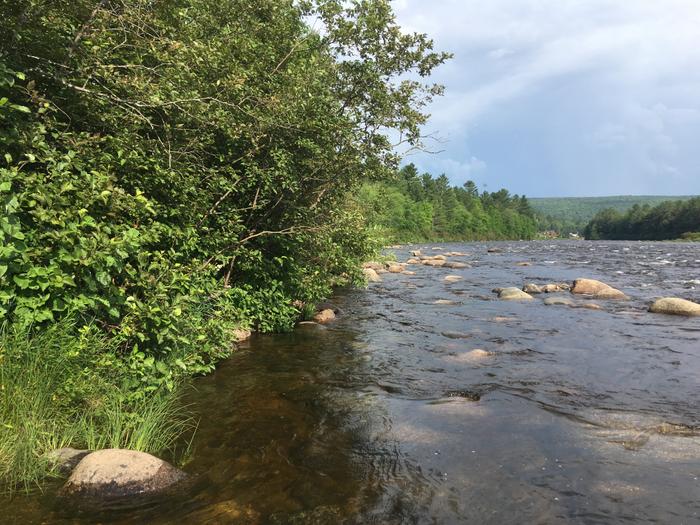
A flood (May 2003) caused the river to bypass around a dam creating around a thirty foot drop in about a third of a mile. The run is easy to access, as it runs underneath the CR 550 bridge in Marquette. Just park and carry up to the top.
NOTE: Per comment below, the drop as described (and shown in video) no longer exists, as the dam has been restored to operational. As times when flow exceeds plant needs/capacity, a different opportunity may exist in the overflow channel.
_We leave this description only for historic reference:_
The run starts with Tourist Park falls, a twenty-ish foot drop. Many lines exist. The easiest involves an approach from far river left. A large tongue exists in the middle of a monster hydraulic. This will rocket you down the final slide and into an eddy which is really more of a whirlpool. The "whirlpool" will most likely take you straight into the hydraulic on river right, so paddle hard if you want to avoid it. The rest of the run is a very easy class II-III jaunt (depending on water levels). Many opportunities for play exist (although at any level under 500 cfs the run is fairly shallow and could punish rolls and/or swims).
Overall, this is a great park and huck/ park and play section. It can be easily combined with a run on the Upper Dead, Marquette Carp, Yellow Dog, or other local runs.
Enjoy the following video which starts with just more than a minute of runs of this area before (at 1:10) transitioning into runs of various falls on the Upper Reach of the Dead.
The resolution on Google Maps for this area is excellent. Therefore, we highly recommended going to the 'Map' tab, clicking 'Satellite', zooming in to the maximum resolution available (without losing image), to have a fine 'virtual look' at this reach!
Rapids in this Run (1)
Difficulty
Class III-IV
Length
0.1 mi
Gradient
60 ft/mi
Rapids
1
Access Points
Shuttle Info
Please ignore the 'shuttle map' below. This is pretty much a 'park-n-huck'/'park-and-play' and you will be walking the shuttle, which will be obvious.
However, please feel free to use the 'text entry' box to input your home address (or other starting location) to get drive time, distance, and directions to this park-and-huck/park-and-play site.
Difficulty Classes
I Easy
II Novice
III Intermediate
IV Advanced
V Expert/Extreme
VI Unrunnable
Current Conditions
5-Day Forecast
Whitewater data from
American Whitewater
American Whitewater