Trail Creek Bridge to Cedar Creek (near Aldridge)
Gauge Conditions
Runnable: ? – ? CFS
Approximate reading: This gauge is 11.5 miles away on Blackfoot. Use as a general reference only.
Data from American Whitewater & USGS
Run Map
Run Time Estimate
Select put-in and take-out to estimate time.
Plan This Trip
See wind-adjusted speed maps, forecast planning, and detailed time estimates.
Sign in to generate an AI timing estimate for this run.
Whitewater timing varies with scouting, portages, and group pace. Use as a planning baseline.
Description
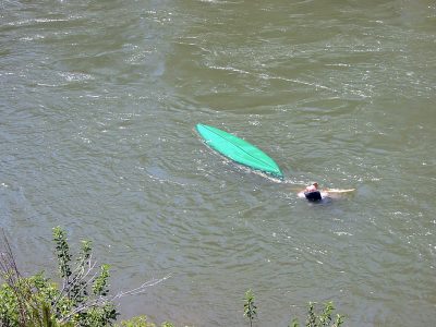
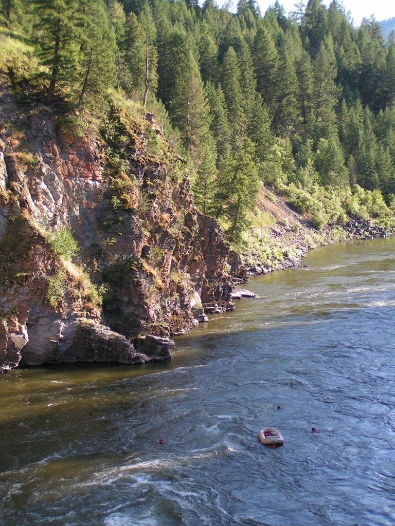
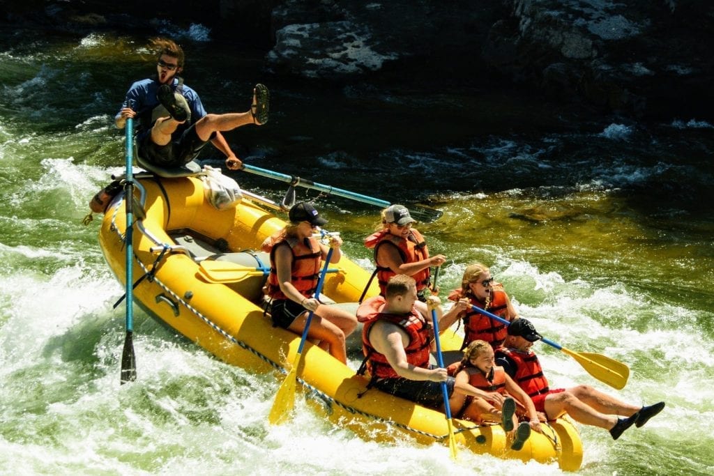
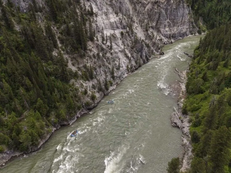
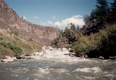
Wolverine Canyon is Southeast Idaho's premier Class V canyon. Generally runnable after most other class V sections are finished, irrigation needs allow the blackfoot to run later with warmer water than is typical, which in the heat of summer can be a bit much. I've ran this section down to 450cfs which was getting pretty boney, things can get spicey as the flows near 1000cfs. This run is fairly notorious for the dense jungle of Poison Ivy that lines the banks in many areas, making scouting and portaging a real treat. Accessing this run from some routes requires you to cross Sho-Ban Reservation land, please be considerate and treat their land with the respect they deserve. The river mostly flows through BLM property for the first few miles. When the BLM property ends, the river right bank is private property, while river left is Fort Hall Indian reservation property.
The River:
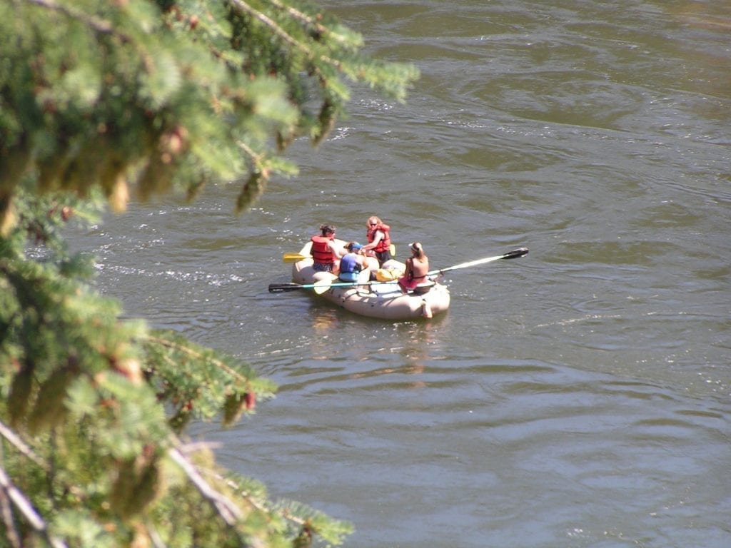
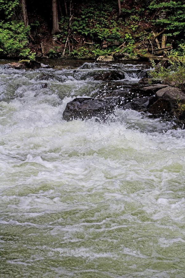
The stretch begins with a long section of meandering class II developing into class III for some miles, Moose have been known to enjoy this area so keep your eyes peeled. When you near the end of the calm before the storm, remain on your toes as the river gorge tightens and a good size pool marks the beginning of the whitewater, and time to scout.
The first main rapid, Teller Tube kicks of the excitement and is generally scouted and portaged on river right. A ledge drop leads into a flume that is punctuated by V waves and small holes, as the river passes the large boulder a quick eddy must be caught to avoid following the flow into a generally log choked constriction that has been the sight of past accidents, one fatal and quite a few near misses. So be on your toes and make your decision wisely.
A fun section of more frequent class IV rapids eventually lead into what is sometimes called the Airplane Boof. This rapid is marked by a set of boulders at the horizon line with an entrance on river right. There are a few options for running this rapid, a shallower ledge on river right, the airplane boof in the middle, and the slot on river left, which is sometimes clogged with wood.
Some more class III - IV rapids lead to the beginning sequence to the portage drop or "Sieve Drop". A steeper and enjoyable flume drop is located directly above the Portage, be careful of what lies below! The "Sieve" is generally portaged on river right and requires a bit of a poison ivy safari. After the portage a fun section of fast moving class IV finishes of the run.
------
Put in: Trail Creek Road Bridge. There appears to be some parking and easy access to the river at the bridge or close by. BLM has a primitive campground just downstream on river right. There also appears to be access at 1 mile downstream and at 1.7 miles downstream.
Take out: It looks like there is a steep hike out at Cedar Creek, otherwise boaters must continue on down through slow water to road access at mile 12 or mile 13.
\-\-\----
this page is a work in progress!
\- edited by:
Davis Gove June 2020
\-\-\----
Other Information Sources:
BLM Blackfoot River Campgrounds
Flow information phone number -208-238-0586
Rapids in this Run (13)

Hazards & Portages (1)
Caution: The following locations may require scouting or portaging. Always check current conditions.
Difficulty
Class IV-V
Length
10.0 mi
Gradient
74 ft/mi
max 120
Rapids
13
1 Hazard
Access Points
Shuttle Info
The roads in this area appear to be gravel or dirt.
Difficulty Classes
I Easy
II Novice
III Intermediate
IV Advanced
V Expert/Extreme
VI Unrunnable
Current Conditions
5-Day Forecast
Whitewater data from
American Whitewater
American Whitewater