Trow Lake Dam (Merrillan) to Black River confluence (11.5 or 6.3 miles)
Gauge Conditions
Runnable: ? – ? CFS
Approximate reading: This gauge is 10.1 miles away on Halls (Stockwell) Creek. Use as a general reference only.
Data from American Whitewater & USGS
Run Map
Interactive run map
Loads as you approach this section.
Run Time Estimate
Select put-in and take-out to estimate time.
Plan This Trip
See wind-adjusted speed maps, forecast planning, and detailed time estimates.
Sign in to generate an AI timing estimate for this run.
Whitewater timing varies with scouting, portages, and group pace. Use as a planning baseline.
Description
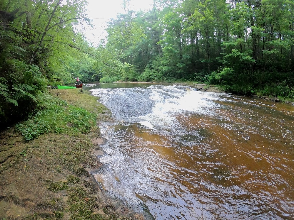
This is an intimate midwest creek/canyon, sometimes paddled as a companion run to the Black at Hatfield. It is a generally scenic run with a few minor rapids, and makes a fine novice open boat run.
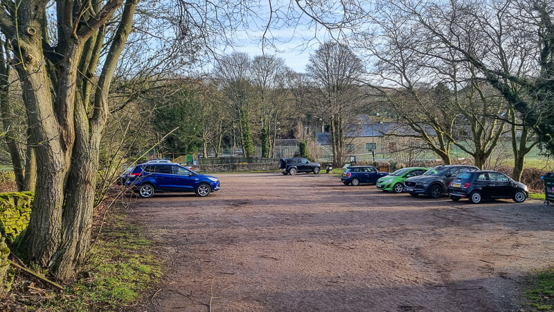
A commonly paddled shorter section (6.3 miles, 13'/mile avg gradient) begins at the Garage Rd bridge, 2.8 miles south of Merrillan off Hwy 12. Either choice of put-in generally goes to the listed take-out at 'Halls Creek Landing' on the Black River.
Groups often look at a double or triple (combining it with runs on Morrison Creek and/or Robinson Creek) since these three streams are quite similar in location (Black River Falls area) and drainage areas (80-90 square miles).
Rapids in this Run (4)
Difficulty
Class I-II
Length
11.1 mi
Gradient
10 ft/mi
max 13
Rapids
4
Access Points
Difficulty Classes
I Easy
II Novice
III Intermediate
IV Advanced
V Expert/Extreme
VI Unrunnable
Current Conditions
5-Day Forecast
Whitewater data from
American Whitewater
American Whitewater