Upper
Gauge Conditions
Runnable: 1.0 – 3.5 FT
Data from American Whitewater & USGS
Run Map
Run Time Estimate
Select put-in and take-out to estimate time.
Plan This Trip
See wind-adjusted speed maps, forecast planning, and detailed time estimates.
Sign in to generate an AI timing estimate for this run.
Whitewater timing varies with scouting, portages, and group pace. Use as a planning baseline.
Description
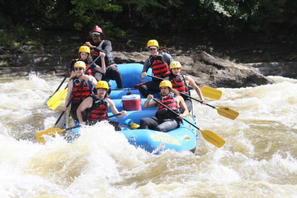
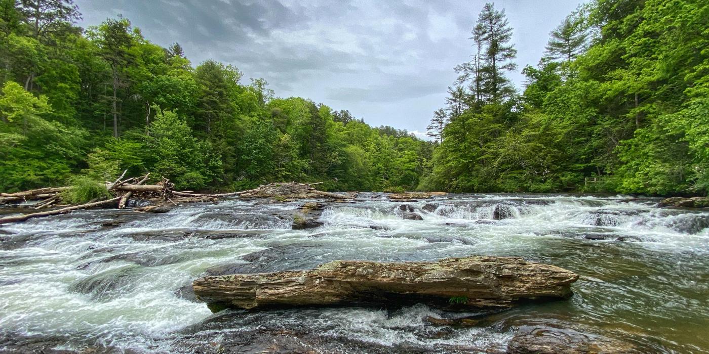
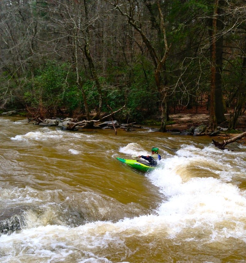
The Upper Amicalola is a II/III+ run with scenery second to none. This section starts only a couple miles down stream from the famous Amicalola falls which is the tallest waterfall east of the Mississippi. It has often been referred to as a mini version of Section 3. The river has been run at levels as low as 0.4 on the GA53 gauge( would highly suggest against this unless using an ex gf/bfs gear) but a realistic minimum for the entire run is 1.1. At this level, all the rapids are runnable with a minimum amount of plastic loss from your boat but it would be a long day if you were to do the whole section. (At lower levels it is better to put in at the second or third putin.) At levels of 1.2-1.5, the river becomes a very good seasoned beginner/intermediate run with enough technical moves, eddy hopping, and surfing to keep things interesting. In my opinion it puts the Cartacay to shame for a begginer/ learning river( At lower levels\*\*).From 1.6-1.9 the river starts to pad out and speed up with new lines opening up. From 1.9-2.5 the river bumps up to a solid III with a significant increase in the pushiness of the drops and the amount of waves and holes on the river. At 2.5-3.5, the river becomes extremely fast and develops some huge river wide holes and standing waves up to about six feet high and becomes akin to paddling in a flood. Above 3.5 feet you realy need a bomb proof roll because if you flip and swim your gear will be gone. Also the abilitly to read water well, avoid features such as but not limited to keeper hydrolics and trees are needed. At the higher levels this becomes an excellent play boat run just make sure to watch for wood and holes.
Wood
At levels above 2.0 feet, this section of the river moves a huge amount of wood ranging from cut firewood to 35 ft. trees. Extreme care should still be taken when boating this section at higher water levels.
Put-ins
There are three put-ins for this section of river.
Put-in 1 Goshen Church Rd/Afton Rd (9.5 river miles total)
From the GA53 Bridge-Go east towards Dawsonville. Take a left at the junction of GA53 and GA183. Go approximately 7.2 miles and make a left on Afton Rd. If you reach the intersection of GA183 and GA136, you have gone too far. Go 1.6 miles and put in at the bridge. The area surrounding this put-in is private land. No problems have been encountered here, but please be respectful. The river between this put-in and put-in 2 contains mostly moving water, several downed trees and a fun class two. A little after 1.5 river miles you will see the last house on river right, you will now be entering Dawson Forest.
Put-in 2 Lindsey Ford/ Six Mile / DNR Campground (7.7 river miles total)
From the GA53 bridge-Go west 1 mile and make a right on Amicalola Church Rd. Follow the road until the pavement runs out and then continue approximately 1.5 miles. The road will begin to climb a hill and bear around to the left. There will be a brown forestry service sign on the right, next to the campground road. This is a good putin and gets you to the first set of rapids a little faster. Now requires you to have a pass to park here. I would suggest parking on the road( not much of a shoulder) or parking in the over flow parking( where I usually park). Or you could always buy a pass ( http://www.georgiawildlife.com/Georgia-Outdoor-Recreational-Pass) If you are going this route, pass is under 10 dollars for 3 day pass but you need to do this at home because it requires a printer.
Put-in 3 Steel Bridge Road/ (Devils Elbow) (2.3 river miles total)
From the GA53 bridge-Go west 1 mile and make a right on Amicalola Church Rd. Go approximately 3 miles and make a right on Steel Bridge Rd. Best put-in access is on the right side of the bridge. This is a excellent option if you live close and want to have a short river day. My girlfriend and I will often do this short version because there are three fun rapids with great eddy practice and you can knock it out in about a hour. This putin also requies a pass. To avoid this fee, drive over stealbridge past the user fee area sign and park on right shoulder. Again if you would like to get a GORP pass then you will have to plan ahead a bit and print one out before you leave your house. http://www.georgiawildlife.com/Georgia-Outdoor-Recreational-Pass
Local Hazards
During warmer weather, this section of the Amicalola is typically frequented by an armada of sit-on-tops, tubers, and Wal-Mart rafters with no regard to water level. The vast majority of these individuals are ill equipped or prepared to deal with potential problems that may occur at higher water levels.
Multi-use Area
95%+ of the navigable portion of the Amicalola lies within the Dawson Forest Wildlife Management Area. This is a multi-recreational 25,000-acre tract of land administered and managed by the Georgia Department of Natural Resources. Depending on the time of year, the forest is utilized by a wide variety of individuals including: boaters, fishermen, hunters, hikers, equestrians, and DNR personnel engaging in forestry management (controlled burns and logging operations). Please remember to be respectful of these individuals right to access and use this area.
Rapids in this Run (4)
Playspots (1)
Hazards & Portages (1)
Caution: The following locations may require scouting or portaging. Always check current conditions.

Difficulty
Class II-III
Length
10.7 mi
Gradient
20 ft/mi
max 25
Rapids
4
1 Hazard
Access Points
Difficulty Classes
I Easy
II Novice
III Intermediate
IV Advanced
V Expert/Extreme
VI Unrunnable
Current Conditions
5-Day Forecast
Whitewater data from
American Whitewater
American Whitewater