Upper: CR 78 to Canyon Rim Road
No sufficiently local live gauge linked. 1 automated match was excluded because the closest is 118.7 miles away. Difficulty and route details are not current water conditions.
Run Map
Description
This is a fine run for those days when everything else in the area is just too high.
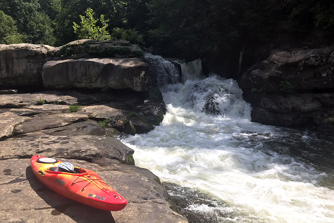
The action starts just around the corner from the put-in with a long, medium-angle slide that had several badly placed trees towards the bottom. Another larger slide follows soon after. It has a small cable strung across the river at its base that presents a obvious hazard. The next slide is marked by a metal foot bridge. It is a long, high-speed, twisting affair into a pool (class IV). The last large drop is marked by a big horizon line. This is the largest drop on the run -- a sliding lead into a 25- to 30-foot, 70-degree falls into a decent pool (Class IV+).
Below here the river enters a half-mile gorge of good boogie water with a couple of sections approaching class IV. The river passes under a bridge below the gorge (this is not the take-out -- the next bridge at Canyon Rim Road is.)
This run has a lot of trees in it. Many of them have to be portaged; this makes the run take longer than would be expected. At the recommended levels, there is not much slackwater on this run. Many of the eddies are of the "grab a tree branch, upstream of the tree blocking the stream" type.
Rob Maxwell shared:
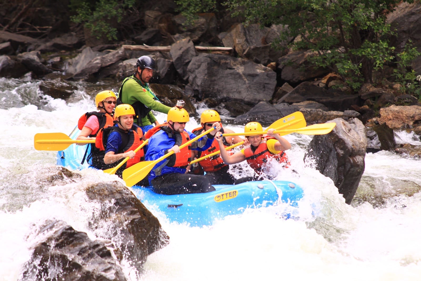
Upper Bear Creek is quite a surprise. Most creeks lose their gradient gradually. However, Upper Bear Creek loses its gradient in large chunks! If you aren't paddling flatwater or portaging downed trees, you are dropping over one of the 5 big drops.
The putin on County Road 78 is privately owned by a police officer. He has requested that boaters not use his yard for parking, to avoid rutting the yard. Otherwise, he has no problem with putting in at the bridge. The best bet for parking is at the Auto Body Shop, which is within sight of the put-in. Over all, the land owners are nice but weary of boaters. I suggest that you change at the takeout, organize the boats on as few cars as possible then head for the putin. Ask permission to park at the Auto Body Shop--a few $$s might help. Then, get on the creek quickly and keep a low profile.
When we ran Upper Bear Creek, the Bear Creek gage was 11. When we took off, it was 8. The level was a bear minimum (ha!) for the run. I'd suggest 15 is probably a good low.
The run really needs to be cleaned out. There are about 6 tree portages to deal with. However, all the property along the banks is privately owned. So, doing this wouldn't be prudent.
If you are lucky, one of the landowners will try to warn you off the run. Stories of being discharged from the military for being crazy, shooting at neighbors, and neighbors who shoot first and ask questions later are among his repertoire. Most of the rapids were named for a half-hour (rather scary) conversation I had with him.
This is a good run when everything else is flooded and can be easily combined with a regular Bear Creek run or you can go run Upper Johnnies Creek. If Upper Bear Creek is running, Upper Johnnies will also run.
_Lat/longitude coords are approximate, from atlases and online maps._
Rapids in this Run (5)

Difficulty
Class II-III+(IV)
Length
4.0 mi
Gradient
72 ft/mi
max 105
Rapids
5
Access Points
Difficulty Classes
I Easy
II Novice
III Intermediate
IV Advanced
V Expert/Extreme
VI Unrunnable
Current Conditions
5-Day Forecast
Whitewater data from
American Whitewater
American Whitewater