Upper La Platte River Natural Area to Route 7
Gauge Conditions
Runnable: 100.0 – 400.0 CFS
Data from American Whitewater & USGS
Run Map
Interactive run map
Loads as you approach this section.
Description
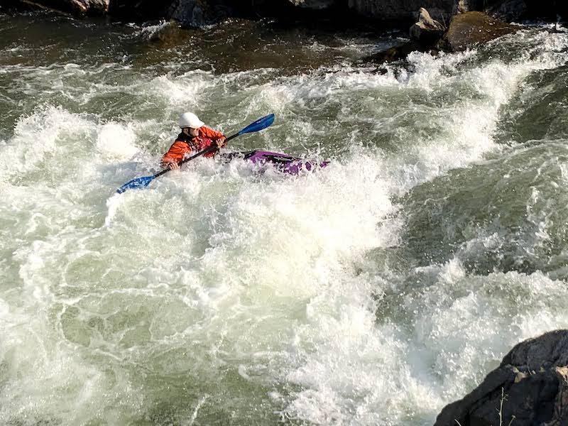
This is a mostly Class II creek run in suburban Shelburne, that includes a remarkable 300-yard bedrock slide starting under Falls Road, just before the river enters La Platte River Nature Park.
Rapids in this Run (1)
Difficulty
Class II-III+
Length
3.0 mi
Rapids
1
Access Points
Difficulty Classes
I Easy
II Novice
III Intermediate
IV Advanced
V Expert/Extreme
VI Unrunnable
Current Conditions
5-Day Forecast
Whitewater data from
American Whitewater
American Whitewater