US 89 to US 89
Gauge Conditions
Runnable: ? – ? CFS
Approximate reading: This gauge is 21.4 miles away on Sevier. Use as a general reference only.
Data from American Whitewater & USGS
Run Map
Run Time Estimate
Select put-in and take-out to estimate time.
Plan This Trip
See wind-adjusted speed maps, forecast planning, and detailed time estimates.
Sign in to generate an AI timing estimate for this run.
Whitewater timing varies with scouting, portages, and group pace. Use as a planning baseline.
Description
The Sevier is the longest river that begins and ends in the state of Utah, terminating in Sevier Lake, an endorheic lake which lies in the lowest part of the Sevier Desert and, like the Great Salt Lake, is a remnant of Pleistocene-epoch Lake Bonneville.
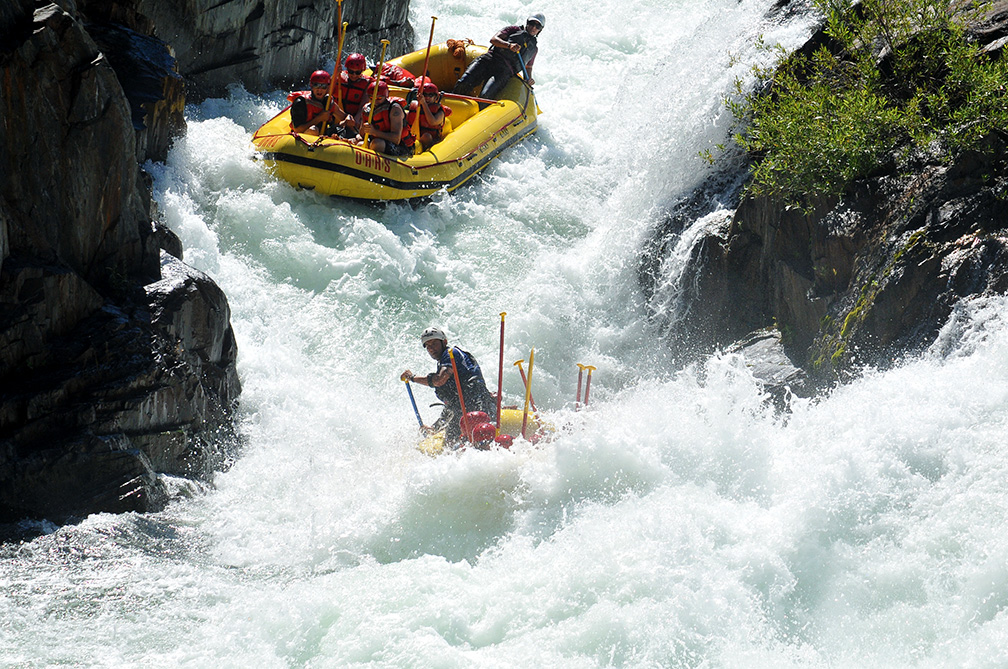
This run is a fairly short section of the Sevier (~6 miles) that flows through the narrow Marysvale Canyon between Marysvale and Sevier, Utah where the Tushar Mountains and the Antelope Range squeeze the river. Upstream and downstream of this canyon, the river is nearly flat and meanders through broad valleys. Within the Marysvale Canyon, the run begins with a swift flatwater section that transitions into a class II run that reaches class III difficulty at a few rapids, especially as flow increases.
The old the Denver and Rio Grande Western Railroad tacks on river right have been converted to the paved Candy Mountain Express Bike Trail for the length of this run. The trail is inconveniently located on the opposite side of the river from the put-in and take-out, but it could be used for bike shuttling by lengthening the run on both ends to use an alternate put-in and take-out where the trail crosses the river.
Real-time Sevier River flows are available at this link: http://www.sevierriver.org/rivers/central/. The flow at Clear Creek is the amount of water that will be in this run. There is sufficient water for packrafting, tubing, paddleboarding, and kayaking at 200 cfs, although 250 cfs provides a bit more padding on the rocks. Anything above 300 is good for rafts. The sweet spot is 500 cfs. From 700 cfs on up, this river turns into a class IV. At levels over 800 cfs, the low bridge after the take-out becomes unpassable by any craft, so be warned don't miss the take-out. Also be alert for ropes that riverfront landowners run across the river for various purposes.
There are usually three pulse flows of two weeks in June, July and August. They typically occur in the last two weeks of the month. Be on the lookout for the flows as this is a fun play spot on a hot day.
Much longer runs on the Sevier River are possible, with US-89 providing many access points. For a longer, 40-mile stretch of the Sevier from Circle Valley to Sevier, see this map: http://tinyurl.com/Sevier-River-Map. Be warned: this includes the Piyute Reservoir, a long, flatsection.
Rapids in this Run (5)

Hazards & Portages (2)
Caution: The following locations may require scouting or portaging. Always check current conditions.
Difficulty
Class II(III)
Length
5.8 mi
Rapids
5
2 Hazards
Access Points
Difficulty Classes
I Easy
II Novice
III Intermediate
IV Advanced
V Expert/Extreme
VI Unrunnable
Current Conditions
5-Day Forecast
Whitewater data from
American Whitewater
American Whitewater