various
Gauge Conditions
Runnable: ? – ? CFS
Approximate reading: This gauge is 9.1 miles away on Duluth creeks. Use as a general reference only.
Data from American Whitewater & USGS
Run Map
Interactive run map
Loads as you approach this section.
Run Time Estimate
Select put-in and take-out to estimate time.
Plan This Trip
See wind-adjusted speed maps, forecast planning, and detailed time estimates.
Sign in to generate an AI timing estimate for this run.
Whitewater timing varies with scouting, portages, and group pace. Use as a planning baseline.
Description
OK, I'm 'cheating' a bit here, lumping a bunch of streams together in one description/page. It seemed a shame not to have mention of these creeks on this AW river inventory, but it also seemed near absurd to detail each separately, as they all fall into a category I like to call "stupid boater tricks" or "micro creeks".
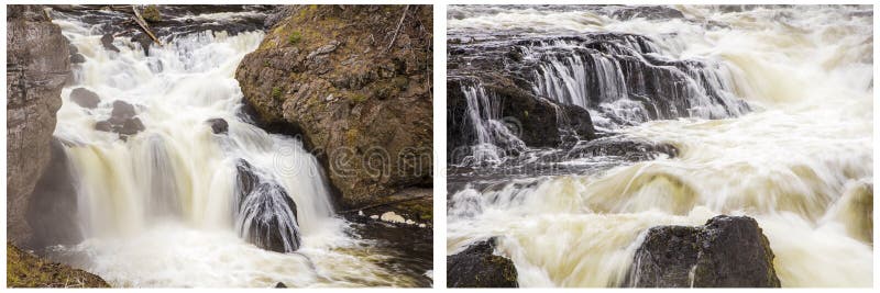
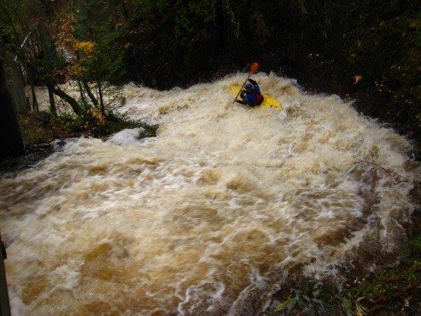
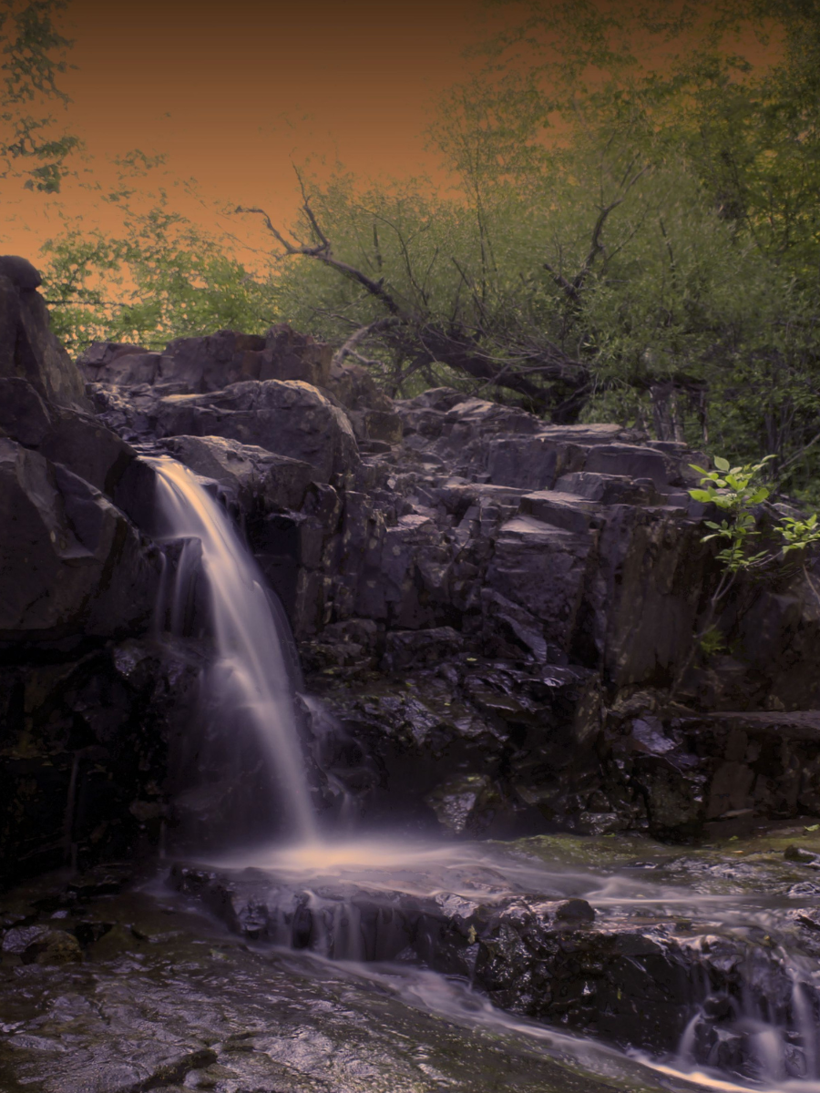
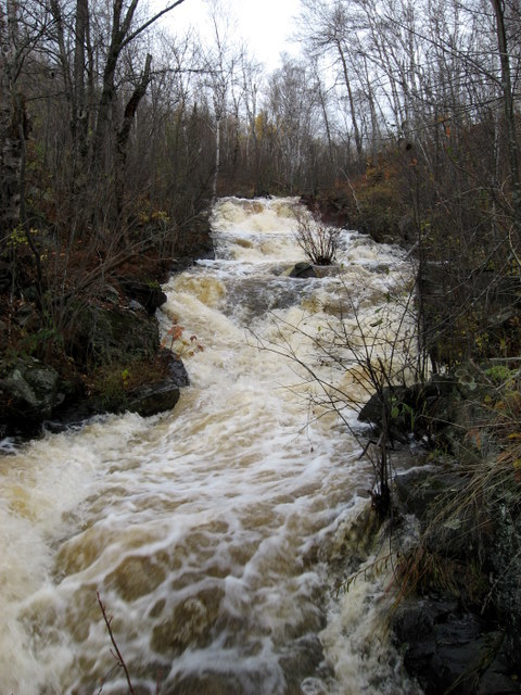
Within the city limits of Duluth, there are a good number of creeks with incredible gradients and amazing slides and drops. To the best of my knowledge, most (if not every one) of these creeks have been run by area boaters.
The odds of any out-of-town (or at least out-of-immediate-area) boater catching them runnable would be quite slim. Hard-core boaters may watch for the few days (or few hours!) when they may be at 'runnable' levels, for an unbelievable 'in town' rush.
The following table hints at the variety and challenge available. (Listing is from North to South through town.)
Tischer Creek, ~1.0 mile, 400 FPM
Chester Creek, ~1.5 miles, 286 FPM
Miller Creek, ~1.0 miles, 400 FPM
Keene Creek, ~1.5 miles, 333 FPM
Kingsbury Creek, ~0.7 mile, 570 FPM
We would love to have first-hand reports (information, photos, videos) from anyone who has run any of these (or other 'in-town' runs around Duluth).


Difficulty
Class IV-V+
Length
20.0 mi
Gradient
300 ft/mi
max 570
Rapids
10
Access Points
Shuttle Info
Listed 'put-in' and 'take-out' lat/lng coordinates are only to delineate (establish) the north and south ends of town (more-or-less) to allow online exploration by the user. Therefore the default 'shuttle directions' are nearly meaningless. However, we have them enabled here to allow the map to show the extent of the drive across town, and to allow the user to input their home or other starting location (in the text-entry box) to get time, distance, and routing to this area.
Difficulty Classes
I Easy
II Novice
III Intermediate
IV Advanced
V Expert/Extreme
VI Unrunnable
Current Conditions
5-Day Forecast
Whitewater data from
American Whitewater
American Whitewater