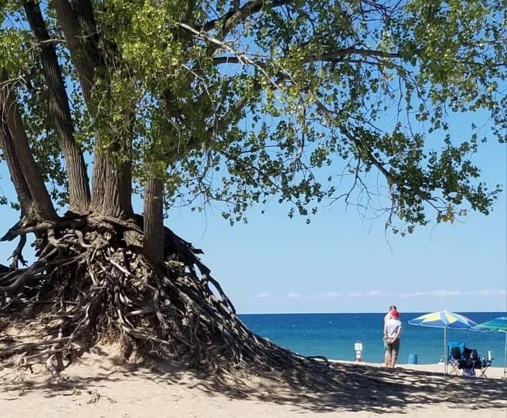
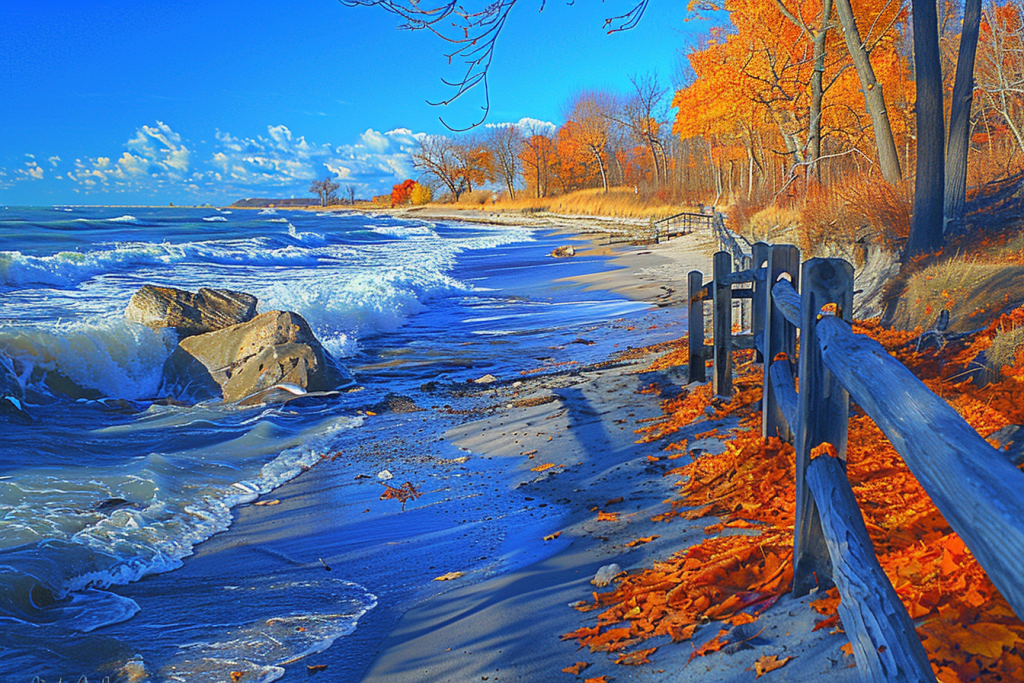
Various (Indiana) locations
Gauge Conditions
Runnable: ? – ? CFS
Approximate reading: This gauge is 2.5 miles away on Lake Michigan. Use as a general reference only.
Data from American Whitewater & USGS
Run Map
Run Time Estimate
Select put-in and take-out to estimate time.
Plan This Trip
See wind-adjusted speed maps, forecast planning, and detailed time estimates.
Sign in to generate an AI timing estimate for this run.
Whitewater timing varies with scouting, portages, and group pace. Use as a planning baseline.
Description
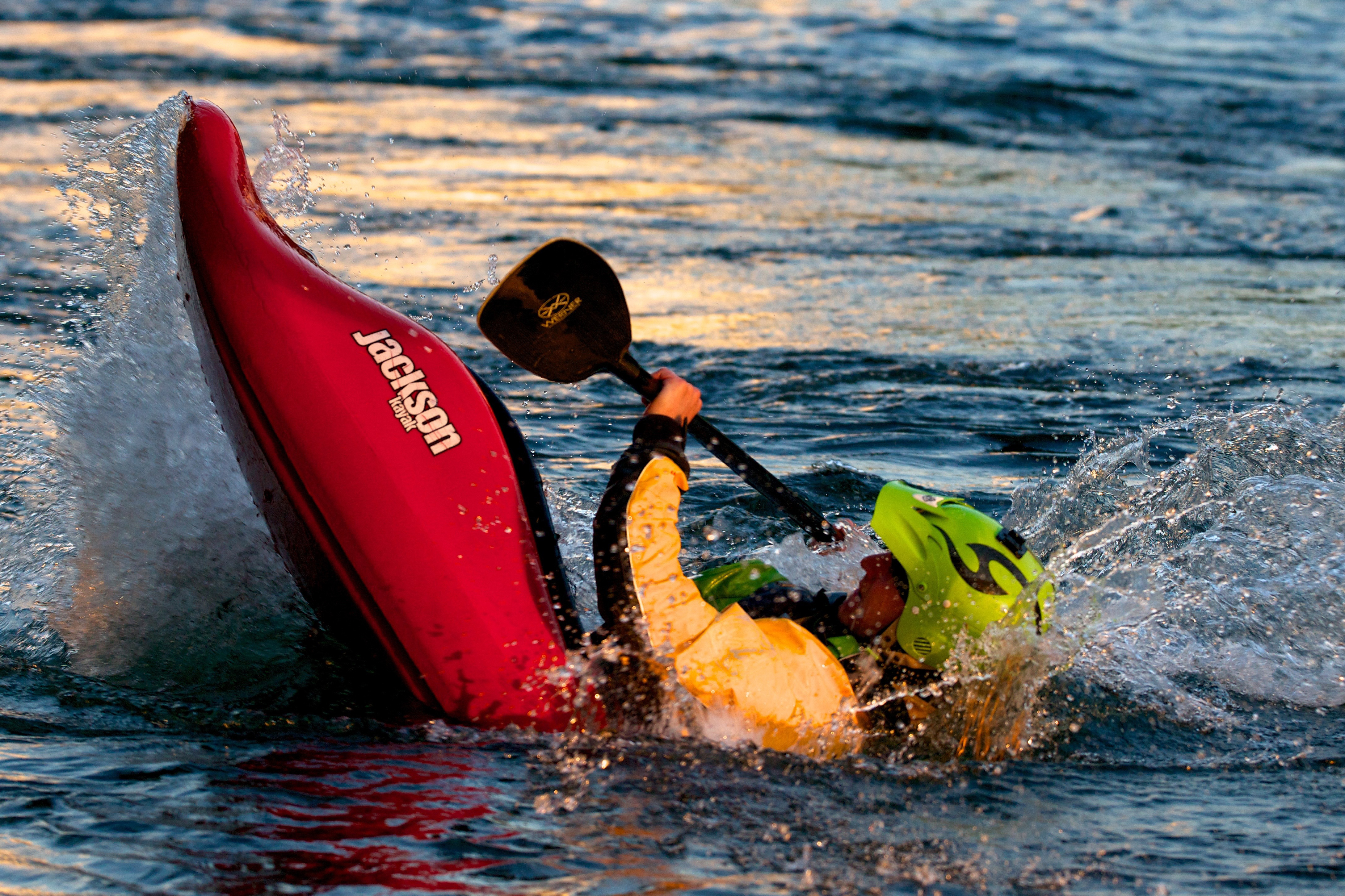
When sailboats are heading for cover due to 'Small Craft Warnings", experienced kayakers might want to head to the lake. This shore gets great sweeping swells under a good variety of wind directions.
Forecast wave heights are generally reported in ranges.
At 1-2', generally forget it -- things are too tame to really get any surfs.
At 2-4', tame entertainment may be found.
At 3-5', you'll start catching some more worthwhile rides.
At 4-7', expect some sweet rides.
Above that, things start to get epic.
(See "Flow Info" tab for info on lake reports.)
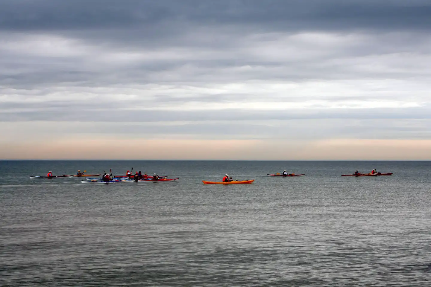
DO NOT TAKE LAKE SURFING LIGHTLY! This is a whole different challenge than the river! On the river, each feature (wave or hole) is relatively 'constant' at a given flow. On the lake, every wave changes as it heads toward shore. When waves break, they can have powerful force as the weight of many gallons of water crash down on you. Having some sort of anti-implosion device for your sprayskirt is imperative at larger wave heights. Especially when waves are up, there will likely be strong currents sweeping out and down the shore. If your skirt implodes and your boat fills with water, each successive wave will hit you, making it like trying to run a class III (or higher) river with a swamped boat, but here there are NO EDDIES! Any time waves are larger than 2-3' you should not boat alone. The combination of wind and waves and currents can make self-rescue far more difficult than on any river you'll encounter in the Midwest.
Rapids in this Run (5)
Difficulty
Class I-V
Length
45.0 mi
Rapids
5
Access Points
Shuttle Info
'Shuttle' (for each site) is carrying from the parking area to the water and back.The map below is only to show the extent of the Indiana lakefront for Lake Michigan.
You can use the text-entry box to enter the location of any of the suggested surf sites, and you will get drive time, distance and directions from there to the Indiana/Illinois state line. (The 'default' mapping is from the 'take-out' or your specified location, to the 'put-in' (which, for this reach of lakefront, is the Indiana/Illinois state line). The resulting map should give you a good idea of the location of each of these spots, and you can mentally adjust to work out your driving directions from your starting location.)
Difficulty Classes
I Easy
II Novice
III Intermediate
IV Advanced
V Expert/Extreme
VI Unrunnable
Current Conditions
5-Day Forecast
Whitewater data from
American Whitewater
American Whitewater