Wardell (Route 19) to Clinch River
Gauge Conditions
Runnable: 1,200.0 – 20,000.0 CFS
Data from American Whitewater & USGS
Run Map
Run Time Estimate
Select put-in and take-out to estimate time.
Plan This Trip
See wind-adjusted speed maps, forecast planning, and detailed time estimates.
Sign in to generate an AI timing estimate for this run.
Whitewater timing varies with scouting, portages, and group pace. Use as a planning baseline.
Description
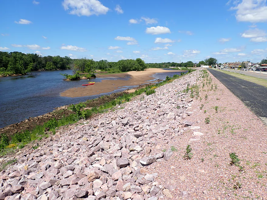
This is a long, isolated section of river offering intermittent mild whitewater, good scenery, and plenty of solitude. After putting in at Wardell, there is no public access until the Kents Ridge bridge (Rt. 636) about 14 miles downstream. The first few miles are mostly flat, although the current moves along well. After this, there are only a few rapids qualifying as class II, although there are many long, enjoyable sections of riffles. The largest class II is at a bend to the left and can be heard well before it's seen. The banks are almost all forested, with occasional cliffs, and the middle of this section is the most attractive. Lots of turtles and bird life. Hazards mostly involve tree strainers, though the Little is wide enough that most fallen trees are not able to span the entire stream. No portages were needed as of mid-2025. Near the end, with a pasture on river left, watch for a wire across the stream with loose wires hanging down, with a second one shortly afterward. Decked boats can duck under but it might be a problem for canoes. Taking out at the Kents Ridge bridge is difficult but doable, and parking is tight. In another 2 miles (making it 16 miles total), Clifton Farm road is alongside on river left with better access options both upstream of and at the Clinch confluence.
There is also a section of the Little upstream of Wardell that is paddleable, described in Gertler's guide.
See Also:
*Virginia Whitewater*, Roger Corbett (2000 ed.), p. 407.
*Exploring Virginia's Waterways*, Ed Gertler (2022 ed.), p. 370.
Rapids in this Run (1)
Difficulty
Class I-II
Length
17.0 mi
Gradient
12 ft/mi
Rapids
1
Access Points
Difficulty Classes
I Easy
II Novice
III Intermediate
IV Advanced
V Expert/Extreme
VI Unrunnable
Current Conditions
5-Day Forecast
Whitewater data from
American Whitewater
American Whitewater