West Grand Lake to Big Lake
Gauge Conditions
Runnable: 100.0 – 3,000.0 CFS
Flow range for best boatability uncertain. Please help your fellow boaters with a comment or report.
Data from American Whitewater & USGS
Run Map
Interactive run map
Loads as you approach this section.
Run Time Estimate
Select put-in and take-out to estimate time.
Plan This Trip
See wind-adjusted speed maps, forecast planning, and detailed time estimates.
Sign in to generate an AI timing estimate for this run.
Whitewater timing varies with scouting, portages, and group pace. Use as a planning baseline.
Description
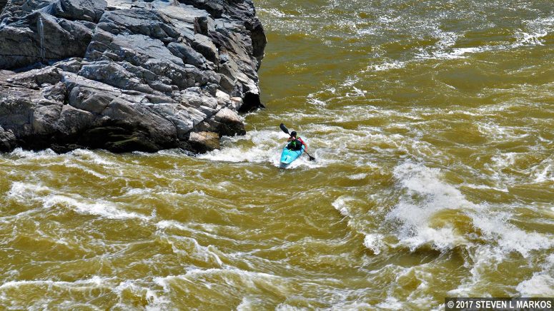
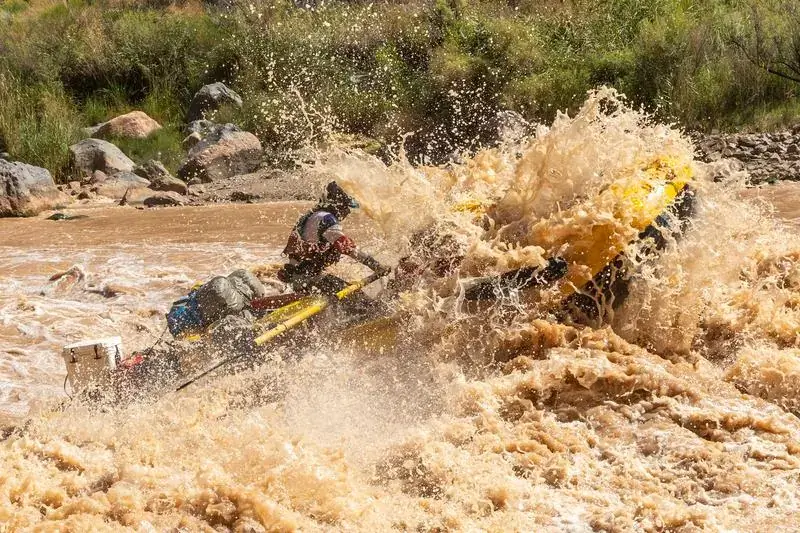
Lat/Longitude data are _very_ approximate. Two class 3 rapids (Big and Little Falls) with some class 1 and 2 sections mixed in before and after Big Falls. Put in at the lot off Shaw Street by pulling boats down over the hill below the dam. Scouting for both big and Little Falls is best done via trails on river left, but the section by Big Falls may be private property, though unposted. Take out can be done by parking at the maintained lots by Little Falls, or you can paddle the remainder of the mostly flat water to the takeout on Big Lake.
Rapids in this Run (2)
Difficulty
Class II-III
Length
3.2 mi
Rapids
2
Access Points
Difficulty Classes
I Easy
II Novice
III Intermediate
IV Advanced
V Expert/Extreme
VI Unrunnable
Current Conditions
5-Day Forecast
Whitewater data from
American Whitewater
American Whitewater