White Pine to Silver City (5.6 miles)
Gauge Conditions
Runnable: ? – ? CFS
Approximate reading: This gauge is 5.3 miles away on Big Iron. Use as a general reference only.
Data from American Whitewater & USGS
Run Map
Run Time Estimate
Select put-in and take-out to estimate time.
Plan This Trip
See wind-adjusted speed maps, forecast planning, and detailed time estimates.
Sign in to generate an AI timing estimate for this run.
Whitewater timing varies with scouting, portages, and group pace. Use as a planning baseline.
Description
Quick Facts:
Location: White Pine to Silver City
Shuttle Length: 6.1 miles.
Character: Innumerous small ledge drops in a wide, fairly uniform-width channel.
Drainage area at put-in: approximately 97 square miles.
Put-in is approximately 760' elevation.
Take-out is approximately 600' elevation (Lake Superior, mean level).
Thus total elevation change is approximately 160'.
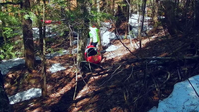
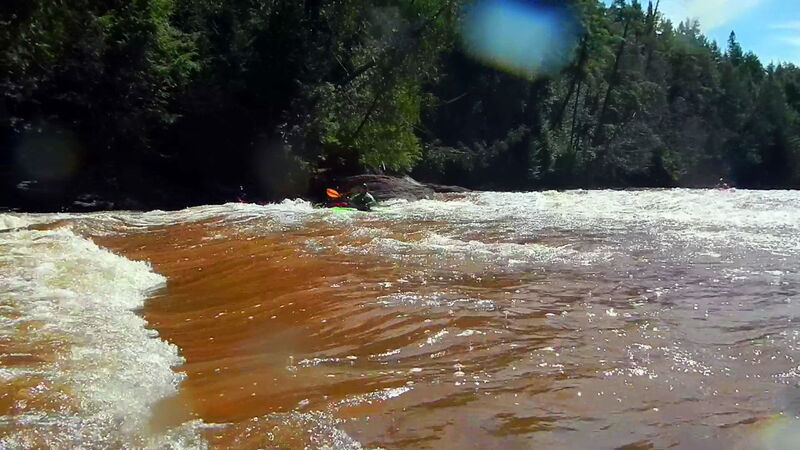
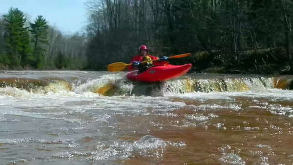
This reach consists of alternating sections of short bedrock ledges, rapids and moving water. Most of this bedrock breaks diagonally (rather than perpendicular) to the flow, making for some interesting running! One quite significantly bigger drop, ***'Bonanza Falls',* comes at 4.5 miles into the run and may push into class IV- at higher flows.
Good photos of the falls are available online at: coppercountry.com
The resolution on satellite views for this area is excellent. We highly recommended going to the 'Map' tab, clicking the put-in (white dot), then clicking 'Google maps' or 'Apple Maps'. You'll be taken to GoogleMaps, where you can click the 'Layers' icon to switch to 'Satellite' view and do a 'virtual walk' of this reach! (HINT: The river flows North from the put-in.)**
Those seeking a longer run may wish to put-in about five miles upstream of White Pine (if the logging roads are passable for access).
---
The (rather smaller) Little Iron lies immediately to the West of this run, and may be a great 'companion-run' (if they are both at runnable levels) or the Big and Little Iron runs may be 'fall-back' runs for each other in the odd event that one is too high (or too low) and the other may be runnable.
There are also runs nearby on the W.Br.Big Iron and Mineral River. Accessing these rivers (as with the aforementioned upper section of the Big Iron) may require navigating the maze of logging roads in the area, many of which are not seasonally maintained. This will likely stymie any early spring attempts at access, but should allow later spring or early summer runs.
Rapids in this Run (2)
Waterfalls (1)
Difficulty
Class II-III
Length
5.5 mi
Gradient
28 ft/mi
max 52
Rapids
2
Access Points
Difficulty Classes
I Easy
II Novice
III Intermediate
IV Advanced
V Expert/Extreme
VI Unrunnable
Current Conditions
5-Day Forecast
Whitewater data from
American Whitewater
American Whitewater