Yarmouth Historical Society to Town Landing
Gauge Conditions
Runnable: 0.0 – 100,000.0 CFS
Data from American Whitewater & USGS
Run Map
Interactive run map
Loads as you approach this section.
Run Time Estimate
Select put-in and take-out to estimate time.
Plan This Trip
See wind-adjusted speed maps, forecast planning, and detailed time estimates.
Sign in to generate an AI timing estimate for this run.
Whitewater timing varies with scouting, portages, and group pace. Use as a planning baseline.
Description
Put in at Yarmouth Community Services on East Elm St, take out at the town landing on Old Shipyard Rd.
https://youtu.be/CTeGtw7SA8o?t=451 for footage of first drop and fourth drop.
Comment from 10 years ago:
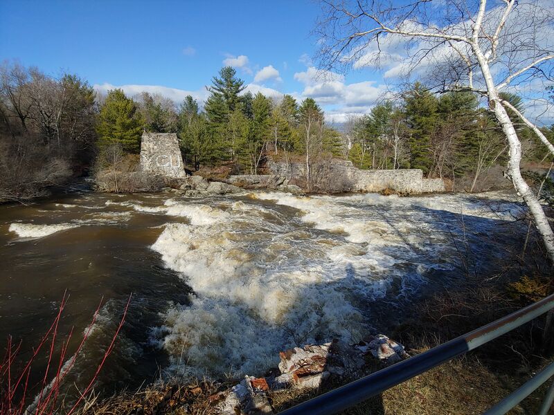
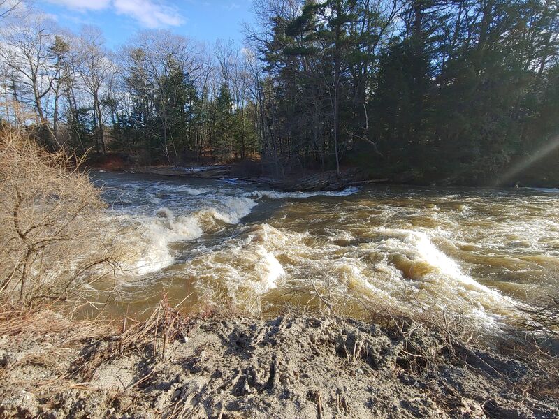
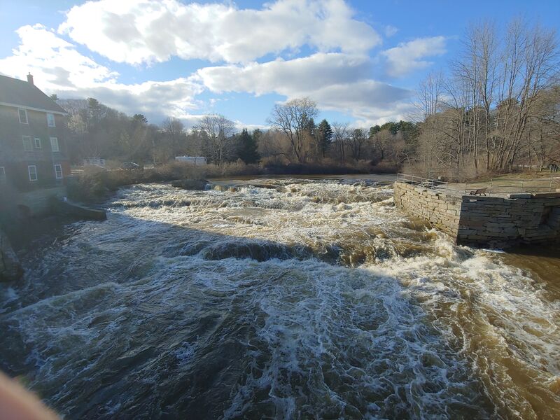
"Scout all 4 drops before running, this is unrunnable at many water levels. For the first section put in above the Waterworks park and try for the far left drop over the dam. The second drop may be Class VI, to view it follow the footpath down to the Rt1 bridge and look upstream. At high water levels there is a huge ramp of water that I'd love to see somebody try. There is a sneak river right but accessing it is very tough. The thrid drop can very rarely be made. It is a 8-10' poor over dam which can be scouted at Bridge St. A sweet surf wave develops just below the Sparhawk Mill building, park in their dirt lot for some park'n'play. The last drop can be viewed from Grist Mill park or the Rt88 bridge. It is generally runnable at all levels. Watch out at high water, the tide may have changed while you were paddling and turned the last rapid under the bridge into into a giant hole with lots of recirc."
AMC River Guide: Maine by Appalachian Mtn Club
Rapids in this Run (4)
Difficulty
Class IV
Length
1.3 mi
Rapids
4
Access Points
Shuttle Info
Put in at Yarmouth Historical Society on West Elm Street, take out at Yarmouth Public Boat Launch on Old Shipyard Rd
Difficulty Classes
I Easy
II Novice
III Intermediate
IV Advanced
V Expert/Extreme
VI Unrunnable
Current Conditions
5-Day Forecast
Whitewater data from
American Whitewater
American Whitewater